12 Dog-Friendly Backpacking Trips near Vancouver

Welcome to the final post in my dog walking series! My last two posts focused on dog friendly hiking trails, both easy trails and epic (not so easy) trails. For this blog, I want to highlight some trail options for backpacking with your dog. There’s a mix of trails on this list, some of which are easy and some of which are more challenging. Remember, when camping with your dog, be prepared to meet all of their needs, as well as your own. Please make sure to follow all park rules, including keeping your dog on leash and picking up after them. Dog poo is not natural and carries lots of harmful bacteria that has been proven to lead to e.coli in waterways.

Here’s some of my favourite backpacking trails to do with my dog!

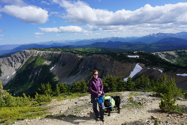
Three Brothers Mountain / Heather Trail
DSC05851

Location: E.C. Manning Park (East of Hope)
Season: July – September
Terrain: 3 Brothers (21km, 500m gain), Heather Trail (40km, 850m gain)
Leash rules: on-leash
Permits: Reservation required. $25pp, per night from camping.bcparks.ca. Book 3 months in advance.
Description: This is a great trail for 1-night or multi-night trips. If you’re just doing 3 brothers mountain, stay at Buckhorn Campsite for a night. If you want to do the entire Heather Trail, stay at Kicking Horse or Nicomen Lake Campsites.

Poland Lake

IMG-20220123-WA0031

Location: E.C. Manning Park (East of Hope)
Season: July – September
Terrain: 16km, 500m gain
Leash rules: on-leash
Permits: Registration required. $5pp, per night from camping.bcparks.ca. Book 2 weeks in advance.
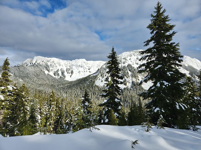
Description: I’ve only hiked this trail in the winter, but it’s a great camping option year round and is one of the less popular trails in Manning Park. Park at Strawberry Flats for this hike. In the winter you will need to hike up along the edge of the ski resort, as you’re not allowed to hike across it.

Lightning Lakes Chain Trail

PSX_20260616_101226

Location: E.C. Manning Park 
Season: May – October
Terrain: 14km, flat (22km if you go all the way to Thunder Lake)
Leash rules: on-leash
Permits: Registration required. $5pp, per night from camping.bcparks.ca. Book 2 weeks in advance.
Description: This would be a fairly easy trail since it’s mostly flat, but it’s not well maintained and there is a lot of blowdown. Be prepared to be climbing over trees fairly regularly. The campsite is located just past Strike Lake at 7km. It can be busy in the Spring and Summer, but there are a lot of tent pads and room for overflow camping. Continue another 4km to visit Thunder Lake, which is the end of the trail.
Falls Lake

Location: Coquihalla Summit Rec area 
Season: year-round, but snowshoes are required in the winter
Terrain: summer (2km, 70m gain); winter (4km, 100m gain)
Leash rules: on-leash
Permit: None required
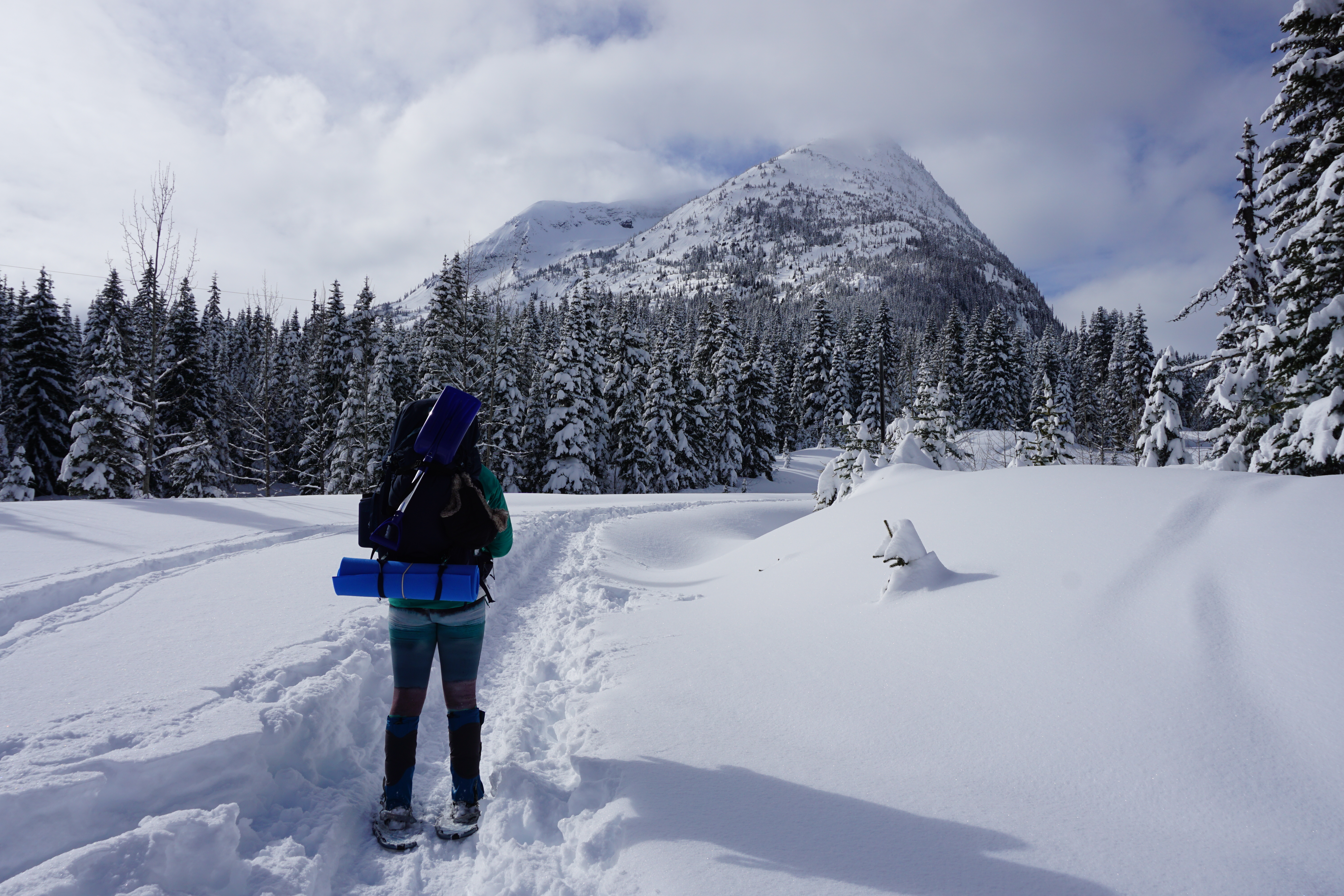
Description: This is a short trail that can be completed in the winter with snowshoes. However, the access road is not plowed in the winter, making the approach twice as long. There is a small campsite located on the back of the lake.
Tikwalus Heritage Trail

20220528_164804

Location: North of Hope, off Highway 1
Season: May – October
Terrain: 12km, 750m gain
Leash rules: on-leash
Permit: None required
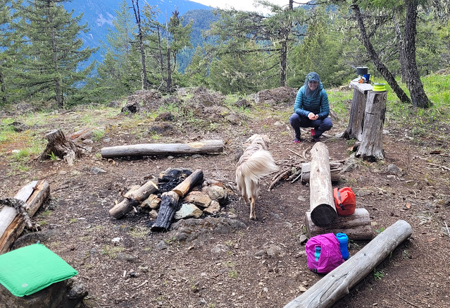
Description: Tikwalus Heritage Trail is an easy but steep trail located just past Hells Gate on Highway 1. Most of the hike is in the forest, but there’s a nice view from the campsite.

HBC Heritage Trail

20230723_180155

Location: Hope to Tulameen
Season: July – September
Terrain: 80km, over 3000m gain
Leash rules: on-leash
Permits: None required
Description: This is an advanced trail for advanced hikers and dogs. This is not a trail that you try backpacking on and your dog should have lots of backpacking experience before attempting this trail as well. If you regularly hike challenging trails together, this is a great multi-day thru hike option. There are very few hikers are this trail and you’ll likely have it all to yourself. There are several campsites along the trail that you can choose from.

Lindeman Lake / Greendrop Lake

DSC09886

Location: Chilliwack Park (Chilliwack)
Season: year-round to Lindeman Lake, spikes are needed in the winter
Terrain: Lindeman (4km, 200m gain); Greendrop (12km, 400m gain)
Leash rules: on-leash
Permits: Registration required. $5pp, per night from camping.bcparks.ca. Book 2 weeks in advance.
Description: This is a short but steep trail to a beautiful lake and campground. It is very busy year-round and the parking lot has been targeted for theft, so plan accordingly. If you want to continue on to Greendrop, it is a much longer hike and the view from the campsite isn’t as nice, but there will be less people.

Viewpoint Beach / Half Moon Beach

20200606_090801

Location: Golden Ears Provincial Park
Season: June – October
Terrain: Viewpoint Beach (9km, 150m gain); Half Moon (20km, 350m gain)
Leash rules: on-leash
Permits: Reservation required. $25pp, per night from camping.bcparks.ca. Book 3 months in advance.
Description: This is a popular trail near Vancouver with lots of space for camping. The trail to Viewpoint Beach is fairly easy, but the trail to Half Moon Beach is much more technical, so be prepared for a longer hike.
Semaphore Lakes

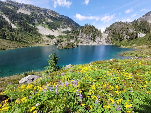
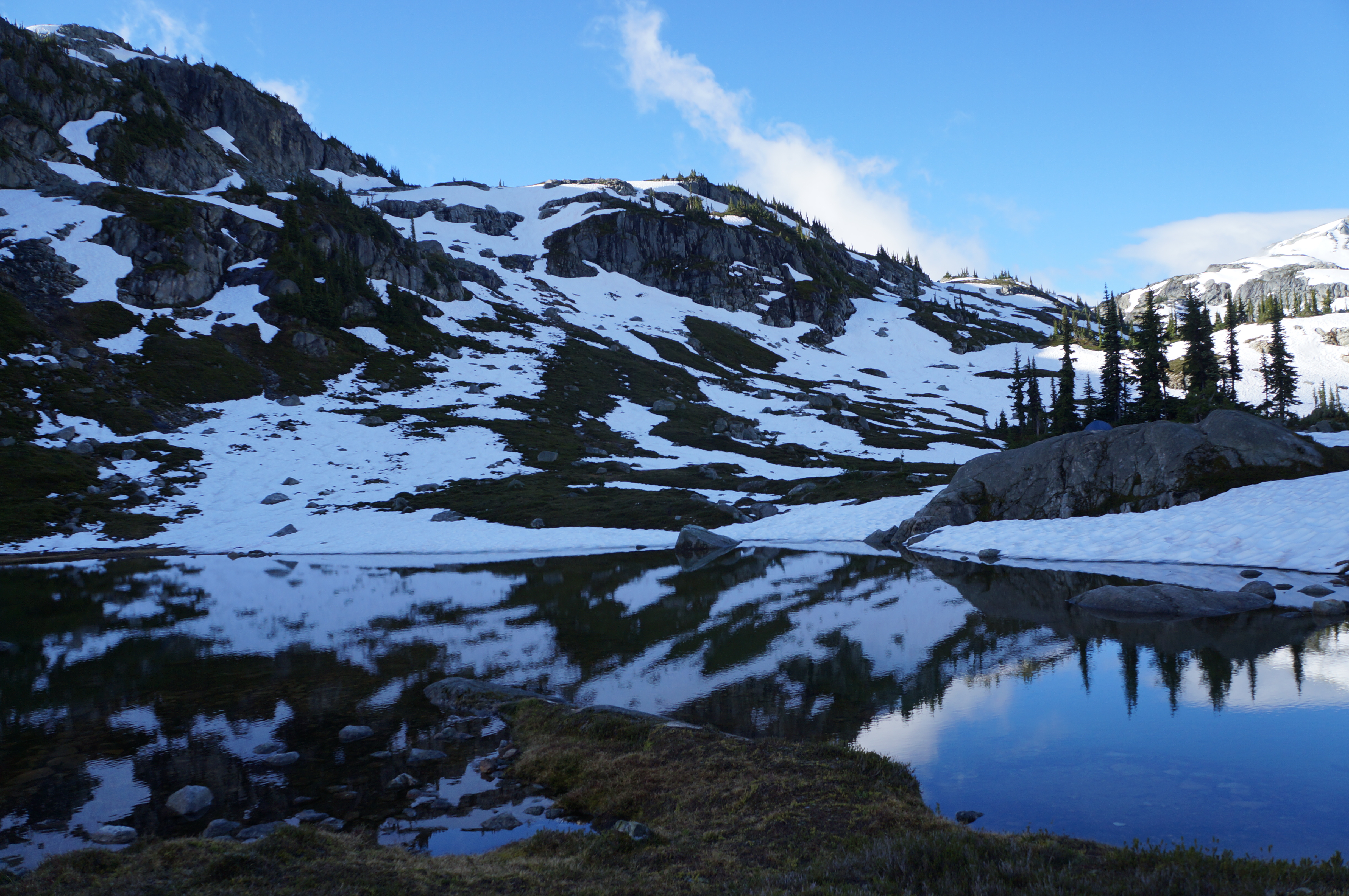
A photo of Semaphore Lakes on a sunny day with lots of snow still clinging to the mountains in BC.

Location: Semaphore Lakes Rec Area (west of Pemberton Meadows)
Season: July – September
Terrain: 5km, 350m gain
Leash rules: on-leash
Permits: None required
Description: This is a short hike, but it is fairly steep. The trail has become very popular in recent years for its easy access to beautiful alpine landscapes and two lakes. The trail is primarily in the forest until you reach the lakes, from there you can explore further around the surrounding alpine. I believe this site has an outhouse, but I’m not sure if it has a bear cache, so plan accordingly.
Sunshine Coast Trail

DSC01050

Location: Upper Sunshine Coast Trail
Season: June – October
Terrain: 180km, thousands of metres of gain
Leash rules: on-leash
Permits: None required
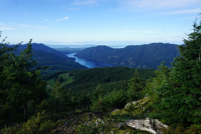
Description: This trail is easy than the HBC Heritage Trail, but substantially longer. This trail is for experienced backpackers and dogs only. Dogs do not have the same endurance as humans to hike day after day, so training is essential. However, there are lots of options to do shorter sections of the trail with your dog, such as the fairview loop or Manzanita Bluffs. Dogs are not permitted in the huts, so bring a tent.

Landslide Lake

20220912_144055

Location: Strathcona Provincial Park (Vancouver Island)
Season: July – September
Terrain: 10km, 500m gain
Leash rules: on-leash
Permits: Registration required. $5pp, per night from camping.bcparks.ca. Book 2 weeks in advance.
Description: This is a nice forested hike up to a beautiful alpine lake. You cannot camp at the lake, but there are two campsites along the way, Butterwort Flats and Upper Gravel Bar.

San Josef Bay

20250420_085733

Location: Cape Scott Park (Vancouver Island)
Season: year-round
Terrain: 6km, flat
Leash rules: on-leash, highly recommended due to the presence of wolves
Permits: Registration required. $5pp, per night from camping.bcparks.ca. Book 2 weeks in advance.
Description: This is the only part of Cape Scott Trail where dogs are permitted. It’s a short flat walk to the beach where you can camp or explore the sea stacks. Check the tides and visit at high tide to walk around the sea stacks to the second beach. It’s a beautiful place to camp and you can tent right on the beach.

14 Free Backcountry Campsites in BC

Welcome back to the second part of my 2-part series to help you get camping with minimal advance planning, in any season! Part 1 focused on permitted campsites (that don’t require reservations) and Part 2 focuses on unpermitted (free) campsites! 

Camping is incredibly popular in BC, especially near Vancouver. The popular campsites require reservations that release 4 months out and being coordinated to plan so far in advance can be a real challenge for people. It might seem like all the good campsites are booked, but there are lots of great options that don’t require advance bookings!

HOP_4999

Why do some campsites require a permit and others are free?

The simple answer is that a lot of free campsites are located on crown land or in BC recreation sites (also considered crown land). The land doesn’t have park status, so it generally receives limited maintenance or it is maintained by users and volunteers. As a result, free campsites are often more rustic than traditional permitted campsites. There are lots of campsites located on crown land that are privately managed, either by for-profit or non-profit groups, and those campsites will usually have a campsite fee to go towards ongoing maintenance, though some non-profits will fundraise for the upkeep of facilities, like on the Sunshine Coast Trail.

That said, there are still some free campsites located in provincial parks, especially the further you get from the lower mainland. I don’t know the exact reason why some campsites have permits and others don’t, but I think it’s likely related to the popularity of a park and how much maintenance the park gets. For example, I visited South Chilcotin Provincial Park last year for 6 nights and didn’t pay any camping fees, but the park is very remote, has limited infrastructure, and several of the places we camped were considered wild camping (no outhouse or bear cache). When sites become more popular, permits will often be introduced.

If you are visiting a free campsite that does not have bear cache facilities or an outhouse, it is absolutely essential to practice bear safety and leave no trace practices. You must hang your food or bring a bear bin. In addition, you must be prepared to dig catholes or use a wag-bag, and pack out your toilet paper, pads, and tampons. It is not acceptable to poop in the woods without burying it, or to leave your toilet paper around the backcountry. We are so lucky to have access to incredible backcountry in Canada and we need to respect it.

Campsites Near Vancouver

Hanging Lake

DSC09695

Hanging Lake is located in Whistler, sharing a trailhead with the Rainbow Lake trail on Alta Lake Road. Rainbow Lake is Whistler’s water supply, and as such, it’s a protected watershed area, so you’re not allowed to camp there. But if you hike a few more kilometres over Rainbow Pass to Hanging Lake, you can enjoy a nice view from the pass and a relaxing night at the lake. It’s a 10km trail to the lake, but the real challenge comes from climbing 800m of elevation along the way. There’s a fair bit of space for tents at Hanging Lake and there is an outhouse and a bear cache. You can also access this trail from the Rainbow Madeley trailhead near Madeley Lake.

Tikwalus

20220528_140213

In my opinion, Tikwalus Heritage Trail is an underrated trail along the Fraser Canyon. To access it, you take Highway 1 past Hope until you pass Alexandria Bridge Provincial Park. The Tikwalus Heritage Trail has been used by indigenous peoples for generations, and in more recent history, it was used by fur traders. It’s only 6km along a semi-loop trail to the campsite, but you’ll climb almost 800m in elevation, so it’s steeper than Hanging Lake. Most of the trail is in the trees, but there are some beautiful mountain views from the campsite. There’s lots of space for tents, as well as an outhouse and a bear cache. There’s no water source directly at the campsite, so fill up at the creeks on the way up to save yourself having to backtrack.

Brunswick Lake / Deeks Lake

DSC07712

Deeks Lake and Brunswick Lake are both located on the Howe Sound Crest Trail, but are accessible from the northern trailhead at Porteau Cove if you’re not doing the 30km thru hike from Cypress Mountain. Both lakes are beautiful and offer an easier alternative to the strenuous Howe Sound Crest Trail. It’s 6.5km to Deeks Lake (which is the smaller site) and 10km to Brunswick Lake, however there’s almost 1200m of elevation gain along the way. Most of the elevation gain is in the first 6.5km to Deeks Lake, making this part of the trail the steepest on my list. Of the two lakes, Brunswick is the most scenic and has more room for camping. It’s also important to note there are no facilities at either site, so be prepared to hang your food and dig catholes.

Flatiron

DSC06682

Keeping in theme with the previous trails, the trail to Flatiron is just as steep, climbing over 800m in ~5.5km, with most of the elevation gain in the first 3.5km. It’s located in the Coquihalla Summit Recreation Area off Highway 5 and shares a trailhead with Needle Peak. The first section of the trail is a huge slog through the forest, but the views are incredibly rewarding. Once you pass the junction for Needle Peak, there’s a small lake where you can camp. You can also camp at the summit of Flatiron, but there’s no water source up there. There are no facilities at either site, so be prepared to hang your food and dig catholes.

Brew Lake

PSFix_20201005_141152

Brew Lake is less steep than some of the other trails on this list, but still a big hike, covering 900m of elevation gain over 8.5km. However, if you have access to a 4×4 vehicle, you can reduce some of that distance along forestry roads. We parked along Brew Creek FSR, at the entrance to Branch 50, and hiked the entire trail from there, including 3.5km along other FSRs. This isn’t a very popular site, so it’s a nice place to go to escape the crowds. There are no facilities, so be prepared to hang your food and dig catholes.

Fairview Bay / Manzanita Bluffs

20220804_200318

We have finally arrived at some options that are not super steep! Both of these sites are located on the Sunshine Coast Trail, which has lots of possibilities for backpacking trips. The whole trail is 180km long, but there are lots of sections that can be done over a day or two. The campsite at Manzanita Bluffs, located on the north end of the trail, is especially beautiful. I also really like the campsites at Fairview Bay and Rainy Day Lake, located on the south end of the trail. All campsites along the trail have outhouses and most of them have bear caches or huts. They do not all have water sources, so plan accordingly. While these sites are free, I do recommend a donation to qPAWS if you opt to stay in one of the huts.

Campsites Accessible by 4×4 Vehicle

Tricouni Meadows

20220820_132359

Tricouni Meadows is a popular campsite located northwest of Squamish. The trailhead is located on Branch 200, off of Squamish River FSR. If you can make it all the way to the trailhead, the hike to the campsite is just over 3km, with 250m of elevation. However, there was a large wash-out on Branch 200 when I did this hike in 2022. If you park at the wash-out, it adds 3km to the trail. In 2022, some vehicles could get through, but I’ve heard it’s gotten worse, so play it safe. There are 3 lakes near the meadows, with the campsite located at the middle lake: Spearhead Lake. It’s not a large campsite, so I recommend getting there early. There are no facilities, so be prepared to hang your food and dig catholes.

Blanca Lake

20240721_074347

Blanca Lake is another campsite located northwest of Squamish. In general, I would say this road is in better shape than the road to Tricouni, but it’s further away. The trailhead is located off E300 on the Elaho Mainline. The trail is 4.5km, with almost 500m of elevation gain. It starts off pretty steep, but then levels out along the middle. The view from Blanca Lake is incredible and there is tons of space for camping. Give yourself extra time to explore around the alpine once you get to the lake. There are no facilities, so be prepared to hang your food and dig catholes.

Conglomerate Flats / Manson Ridge

PSX_20230807_175855

Both of these campsites are located on the HBC Heritage Trail that runs 70km between Hope and Tulameen. Manson’s Campsite is located on the Hope end of the trail (off Peers Creek Road), so you don’t need 4×4 to access this site, but if you want to access Conglomerate Flats for a night, then you need 4×4 to get the trailhead at Jacobson Lake Rec Site (off Tulameen FSR). Both sites are beautiful, though Conglomerate Flats is the more stunning of the two. It’s 6.5km and 600m of elevation gain to Manson’s Camp from the southern trailhead, and 2.5km and 150m of elevation gain to Conglomerate Flats from Jacobson Lake. Both campsites have outhouses and bear caches.

Winter Campsites

Falls Lake / Zoa Subpeak

PSX_20210314_215122

Both of these sites are located in the Coquihalla Summit Rec Area off highway 5. Falls Lake is a great site for beginners because you only have to snowshoe 1km along the road (which isn’t plowed in the winter) and 1km to the lake. Zoa subpeak is a bit more challenging as it’s 550m of elevation gain over 4km. Both trails are located in simple terrain, but make sure to stop at Zoa Subpeak – if you try and snowshoe all the way to the true peak, you will be entering challenging avalanche terrain. I’ve never actually been to Falls Lake, but I believe there is an outhouse. There are no facilities at Zoa Subpeak.

Ottomite Peak

20230204_135419

Ottomite Peak is also located in the Coquihalla Summit Rec Area off highway 5. The trailhead is at the Zopkios Rest Area. It’s a 4.5km trail with 300m of elevation gain to get to the summit. It was completely empty when I camped there, but the general area is popular among ski tourers, so you may see people along the trails for the day. The trail is in simple terrain, but always exercise caution – in general, I always recommend taking an AST1 course. It’s not a challenging trail, but there are no facilities.

Water Access Campsites

Widgeon Creek

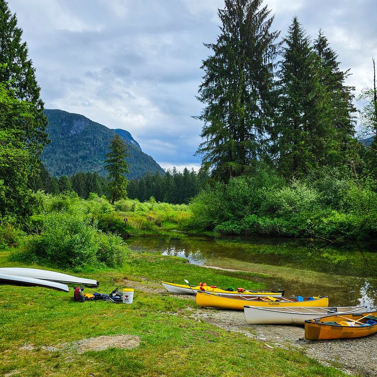
A photo of a line of canoes on the shore of Widgeon Creek at the Widgeon Campsite in Pinecone Burke Provincial Park, with the mountains and trees in the background on a cloudy day in BC.

Widgeon Creek is located near the lower mainland and is extremely popular on summer weekends. It’s a ~5 paddle across the Pitt River and up Widgeon Creek to get to the campsite. You can rent canoes or kayaks at Pitt Lake. There are lots of campsites and great facilities, including a large bear cache and 2 outhouses. But I recommend getting their early on a nice weekend to beat the crowds. From the campsite, you can do a day hike to Widgeon Falls.

Twin Islands / Granite Falls

20240810_114057

Twin Islands and Granite Falls are two campsites located in Indian Arm, so they are very accessible from the lower mainland. As a result, they are very popular on summer weekends, attracting paddle boats and motorized boats. You can rent kayaks from Deep Cove. It’s only 5km to paddle to Twin Islands, so this is the easier campsite to access. You’re only allowed to camp on the north island, but it has an outhouse (no bear cache since it’s an island). Granite Falls is at the far end of Indian Arm and is an 18km paddle from Deep Cove, so you should be an experienced paddler if you want to do this trip. It has 2 outhouses and a bear cache, but it’s severely undersized. Be prepared for northern afternoon winds.

Nine Mile Point / Kunechin Point

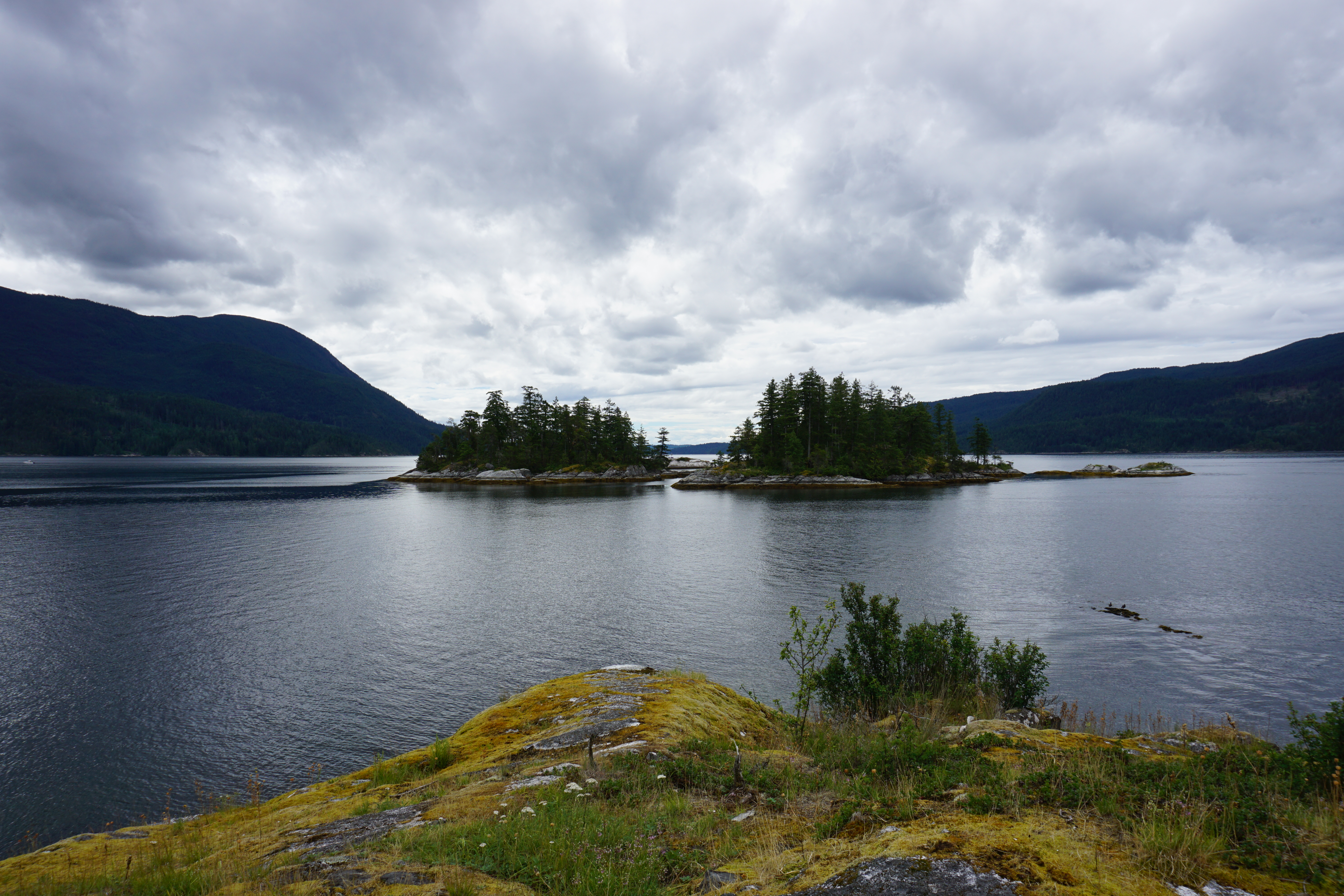
A photo from Kunechin Point in Sechelt Inlet on a kayaking trip, with the water and mountains in the background on the Sunshine Coast in BC.

Nine Mile Point Beach and Kunechin Point Campsite are both located in Sechelt Inlet on the Sunshine Coast. There’s a kayak rental place at the end of Sechelt Inlet Road, where you can launch from. It’s ~6km to paddle to Nine Mile Beach and ~10km to paddle to Kunechin Point, but the latter involves crossing the arm of the inlet, which can get windy. Both are beautiful sites and have outhouses, but no bear caches.

Favourite Hikes in Southwestern BC: Part V

It’s been over 10 years since I moved to British Columbia, so every 2 years I compile a list of my favourite hikes from the past 2 years. You can view my other favourite hikes in Part 1, Part 2, Part 3, and Part 4. This collection is my favourite trails that I hiked in 2023 and 2024. It’s always a mix of day hikes and backpacking trips!

Two hikers lay on Starvation Lake on floating pads with the mountains and forest in the background on a warm, sunny day in Summer, near Squamish, BC.

#10 Starvation Lake

This hike is super easy and accessible, but chances are, you’ve never heard of it. The alpine snow was pretty slow to melt in the summer of 2024, so one day in July we decided to check out some of the lesser known trails in Squamish. We wanted to stay at a low elevation and take advantage of lake swimming season. We had Brunch at Fergie’s and then continued to the end of Paradise Valley Road to start this hike. The trail follows the Cheakamus River before a gentle hike uphill on the Sea to Sky Trail. We hiked as far as the Starvation Lake Rec Site and spent several hours lounging around and swimming in the warm water. You can continue hiking further to connect with the Sea to Sky highway (if you have two cars), but we enjoyed a round trip from the lake. (6km roundtrip, 130m elevation gain)

A group of snowshoers head downhill in winter on a snowy mountain with snow covered trees and a view of Vancouver city in the background from Brockton Point in Seymour Mountain Provincial Park in British Columbia, Canada.

#9 Brockton Point

Brockton Point is well known among the skiing and snowshoeing crowd. It’s a hike I’ve done several times, but I only started to appreciate it in the past few years. I recommend doing it in the winter, just make sure to book a free parking pass for Mount Seymour Backcountry or you’ll be denied access. Recently I’ve been ski touring up to Brockton Point and then skiing back down through the resort trails, but it’s also a really nice snowshoeing trail. The trail starts at the back of the parking lot and hikes parallel to the ski run. Most users continue past Brockton Point to Pump Peak, but this takes you into avalanche terrain, so don’t go further without the proper gear and training. I always stop at Brockton because the view is great there anyways! (6km roundtrip, 270m elevation gain)

A photo of a tent in a meadow just before sunrise, as the sun turns the surrounding mountains orange on a clear sky day overlooking the alpine and forest around Jade Lake in Mount Revelstoke National Park in BC.

#8 Jade Lake

In line with my other posts, I’m not afraid to stretch the boundaries of what is considered “southwestern BC”. Jade Lake is located 6 hours away from Vancouver in Mount Revelstoke National Park, so it’s definitely a bit of a stretch to include it in this list, but it’s a great hike! Eva and Jade Lake can be done as either a backpacking trip, or a long day trip. It’s a little over 20km round trip if you want to do both lakes in a day, so I opted to visit overnight. The hike starts from the top of Mount Revelstoke and meanders through beautiful alpine meadows. After Eva Lake, the hike climbs up the pass for a beautiful view of Jade Lake. Most people stop at the Pass, but it’s definitely worth it to add the extra 2km down to Jade Lake, which is a gorgeous alpine lake that receives limited visitors compared to the rest of the park. (20km roundtrip, 525m elevation gain)

A hiker stands on the edge of a rock next to Widgeon Creek with the forest and mountains in the background on a sunny day

#7 Widgeon Falls

Widgeon Falls is a really unique hike because it’s only accessible by boat! In the summer, you can rent canoes from Pitt Lake and paddle across the Pitt River and up Widgeon Creek to the Widgeon Campsite (~1.5 hour paddle). It’s a pretty safe paddle, but you definitely want to be prepared if you’ve never canoed before. The Pitt River is tidally influenced and can become pretty fast moving, so research the current conditions before visiting. I think the best time to go is early spring or early summer. Avoid freshet, which causes high flows in the river, but also avoid late summer because then the flows in the creek can get too low. From the campsite, you can hike through the forest and along the river to Widgeon Falls. It’s an easy hike, but makes for a great adventure! (9km roundtrip paddle, 6km roundtrip hike)

A photo of Palmers Pond on a summer day, with the green meadows, forest, and mountains in the background, on the Hudson's Bay Company (HBC Trail) near Hope in British Columbia, Canada.

#6 HBC Heritage Trail

If you know me well, you might be surprised to see this hike on the list. I did not have a great time on this hike. It’s 80km long and me and Carolyn completed the entire trail in 3 days, resulting in a foot injury. I was quite miserable along a lot of the trail, but it was definitely a type 2 kind of fun because I still think about this trail all the time. Like the name suggests, it’s a heritage trail that connects Hope to Tulameen and was used during the fur trade and by First Nations. The trail has a lot of forest walking and is not for the faint of heart after the 2021 flood caused a lot of blowdowns and washouts. Most of the trail has now been repaired by amazing volunteers, but the real reason you do this hike is for the solitude. We encountered a lot of people when we passed through Lodestone Lake Rec Site, but otherwise, we didn’t see a single person on the trail in the entire 3 day weekend we were hiking. Despite the challenges, I think this is a really special trail and you will be rewarded with views at Conglomerate Flats and Palmer’s Pond. It’s a great option if you like a challenge! (80km, 3300m elevation gain, 4-6 days)

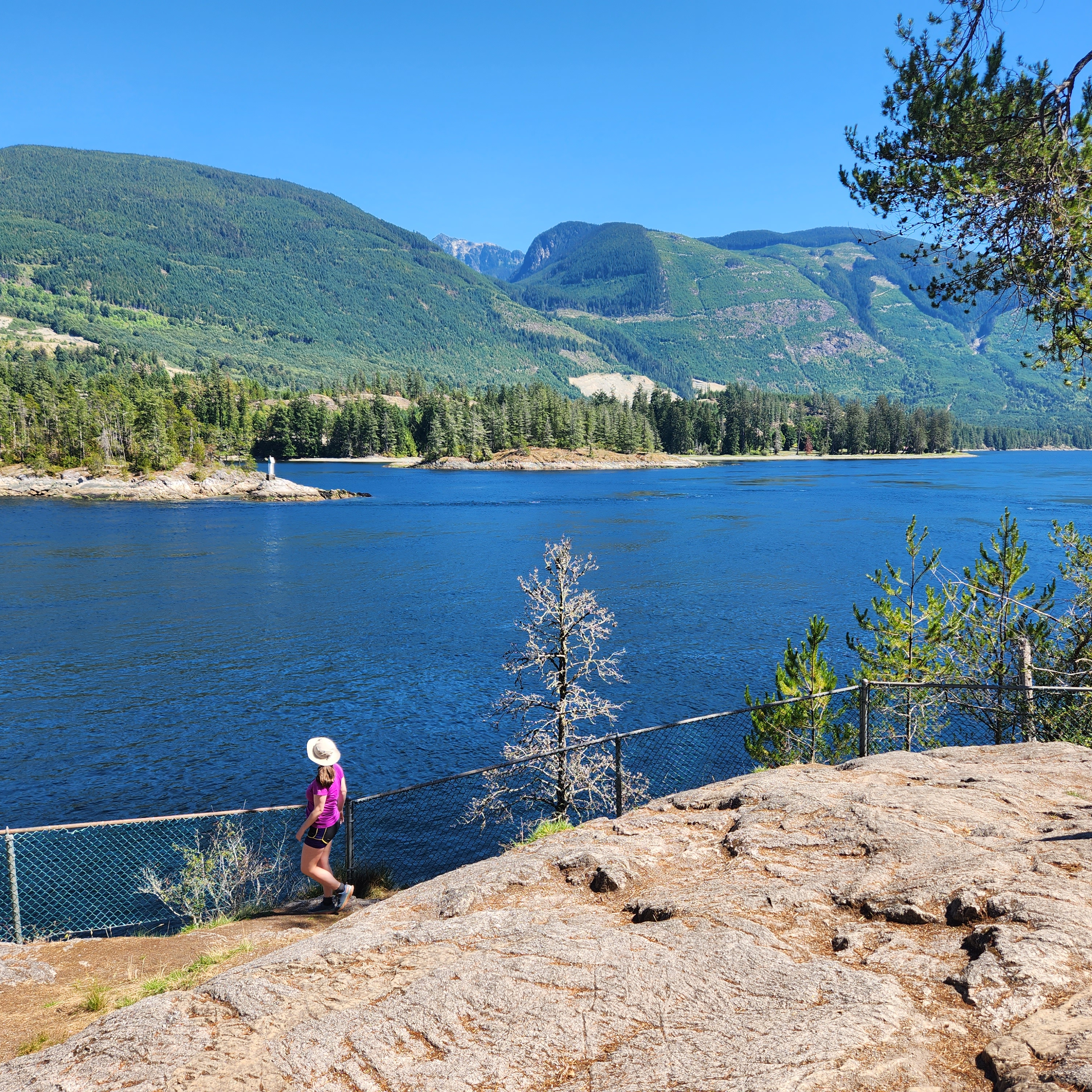
A female hiker stands next to a fence, looking out at the fast moving water of Sechelt Inlet near Skookumchuck Narrows, with the mountains in the background on a sunny, summer day, on the Sunshine Coast, BC.

#5 Skookumchuck Narrows

This is a small and easy trail on the Sunshine Coast, but I really enjoyed visiting it. After you take the ferry to Langdale, drive all the way north to Earls Cove and take the turn off to Egmont. It’s a relatively easy hike, so make a day of it and visit the small village of Egmont and go for a swim in Waugh Lake on the way back. There’s a tiny cafe along the trail, so you can reward yourself with a little treat. The trail hikes through the woods to a series of viewpoints at the Sechelt Rapids. The main reason to visit is to see the series of rapids that develop during tide change, which are popular among kayakers and whitewater enthusiasts. The views of Sechelt Inlet are gorgeous, and it’s really fun to watch the thrill seekers playing in the rapids! (9km roundtrip, 150m elevation gain)

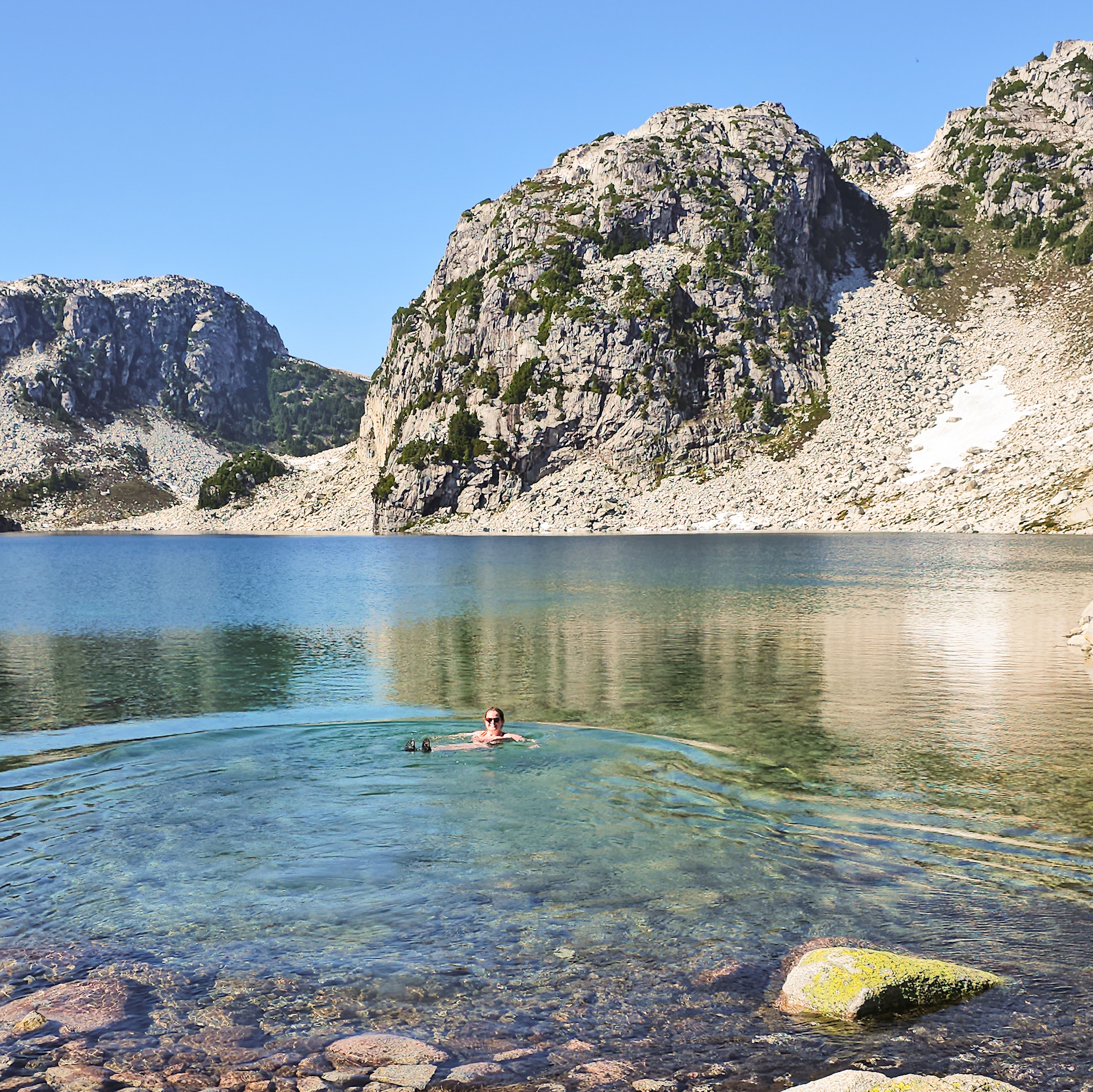
A female hiker floats in an alpine lake while swimming at Blanca Lake, with the mountains in the background on a blue sky, sunny day, north of Squamish, BC

#4 Blanca Lake

Blanca Lake is still a relatively little known hike, but it is quickly becoming popular. It’s located really far down the Squamish River FSR, off the Elaho Mainline on E300 line. 4WD is required to get to the trailhead. You could try taking a car partway up the E300, but it’s 10km long and completely exposed. We picked up a few hitchhikers who were getting ready to quit from the heat. If you make it to the trailhead, it’s a short but steep hike up to the alpine. There’s a steep climb in the first 1.5km, but then the incline is more gentle for the remaining 3km up to the lake. You can visit as a day hike or an overnight. We stayed one night and there is a lot of space for tents. If you have the time, stay 2 nights to explore the surrounding alpine area. There’s no trails, but there’s lots of terrain to explore! (9km roundtrip, 500m elevation gain)

A landscape photo of the trees, mountains, and ponds, from the top of Mount Steele in Tetrahedron Provincial Park on the Sunshine Coast of British Columbia, Canada.

#3 Tetrahedron Park

Tetrahedron Park is located on the lower Sunshine Coast and has an amazing hut system that can be utilized all year round. Drive to Sechelt and take Sechelt Inlet Road out to the Gray Creek FSR. A normal car will get you to the lower parking lot, or with 4WD, you can save 1km extra and drive to the upper lot. You can visit Tetrahedron as a day trip, but I really recommend overnight to take advantage of the huts (great for beginners). There’s ~30km of hiking and 4 huts. Batchelor Cabin is best for families, Edwards Cabin is a good base camp for day hikes, and the cabins at Mount Steele and McNair Lake are great for more adventurous hikers. I highly recommend summiting Mount Steele, but exercise caution in the winter and watch for avalanche terrain.

A photo of the hiking trail in South Chilcotin Provincial Park that runs to Lorna Pass. The trail is covered in yellow wildflowers in the middle of the forest, with the mountains peaking out in the background on a cloudy day in British Columbia.

#2 South Chilcotin Provincial Park

South Chilcotin is a huge park with so many options for hiking. It’s definitely not a trip you can do for a day, unless you’re a mountain biker, but it’s great for multi day backpacking trips. I visited the park in mid-summer and did a 90km loop around the core area of the park, from Tyaughton Creek, over Deer Pass, to Spruce Lake. Other trip options include exploring the park via the Castle Creek trail or through adjacent Big Creek Park. For a price, you can take a float plane into the core area of the park and stay at fancy mountain lodges with full catering. What’s really nice about this park is the limited number of people and we had the backcountry sites to ourselves most nights.

A photo of Russet Lake with the grassy meadows and the mountains in the background on a smoky summer day in Garibaldi Provincial Park near Whistler, British Columbia, Canada.

#1 Russet Lake

I decided on Russet Lake as my favourite hike of the last two years. It’s a popular hike in the Garibaldi backcountry, but due to trail length and campsite maximums, it’s hard to do as a day hike and not as busy as other trails in the park. You can access the lake via the Singing Pass Trail (free from Whistler base), or take the gondola and peak chair up to the top of the mountain and hike via the Musical Bumps trail (this is what I did). There’s a lot of up and down along this trail, but you’re in the alpine the entire time and it’s absolutely breathtaking! Once you reach the lake, you can pay more to stay in the very beautiful Kees and Claire Hut, or you can stay in the BC Parks campsite at the lake. Stay an extra day if you want to explore the surrounding area. (24km roundtrip, 550m elevation gain)