12 Dog-Friendly Backpacking Trips near Vancouver

Welcome to the final post in my dog walking series! My last two posts focused on dog friendly hiking trails, both easy trails and epic (not so easy) trails. For this blog, I want to highlight some trail options for backpacking with your dog. There’s a mix of trails on this list, some of which are easy and some of which are more challenging. Remember, when camping with your dog, be prepared to meet all of their needs, as well as your own. Please make sure to follow all park rules, including keeping your dog on leash and picking up after them. Dog poo is not natural and carries lots of harmful bacteria that has been proven to lead to e.coli in waterways.

Here’s some of my favourite backpacking trails to do with my dog!

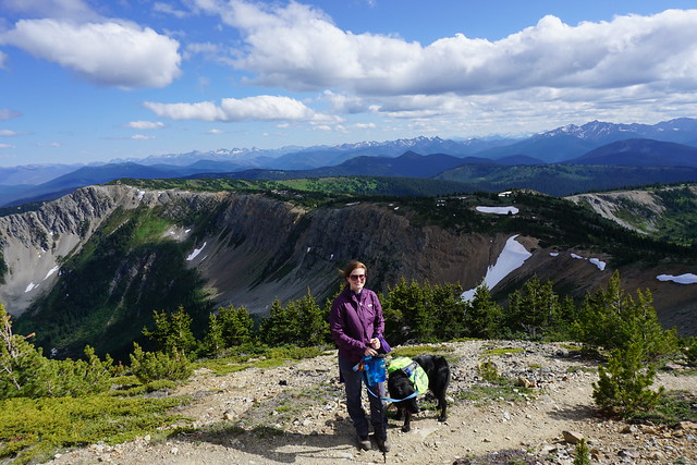
Three Brothers Mountain / Heather Trail

DSC05851

Location: E.C. Manning Park (East of Hope)
Season: July – September
Terrain: 3 Brothers (21km, 500m gain), Heather Trail (40km, 850m gain)
Leash rules: on-leash
Permits: Reservation required. $25pp, per night from camping.bcparks.ca. Book 3 months in advance.
Description: This is a great trail for 1-night or multi-night trips. If you’re just doing 3 brothers mountain, stay at Buckhorn Campsite for a night. If you want to do the entire Heather Trail, stay at Kicking Horse or Nicomen Lake Campsites.

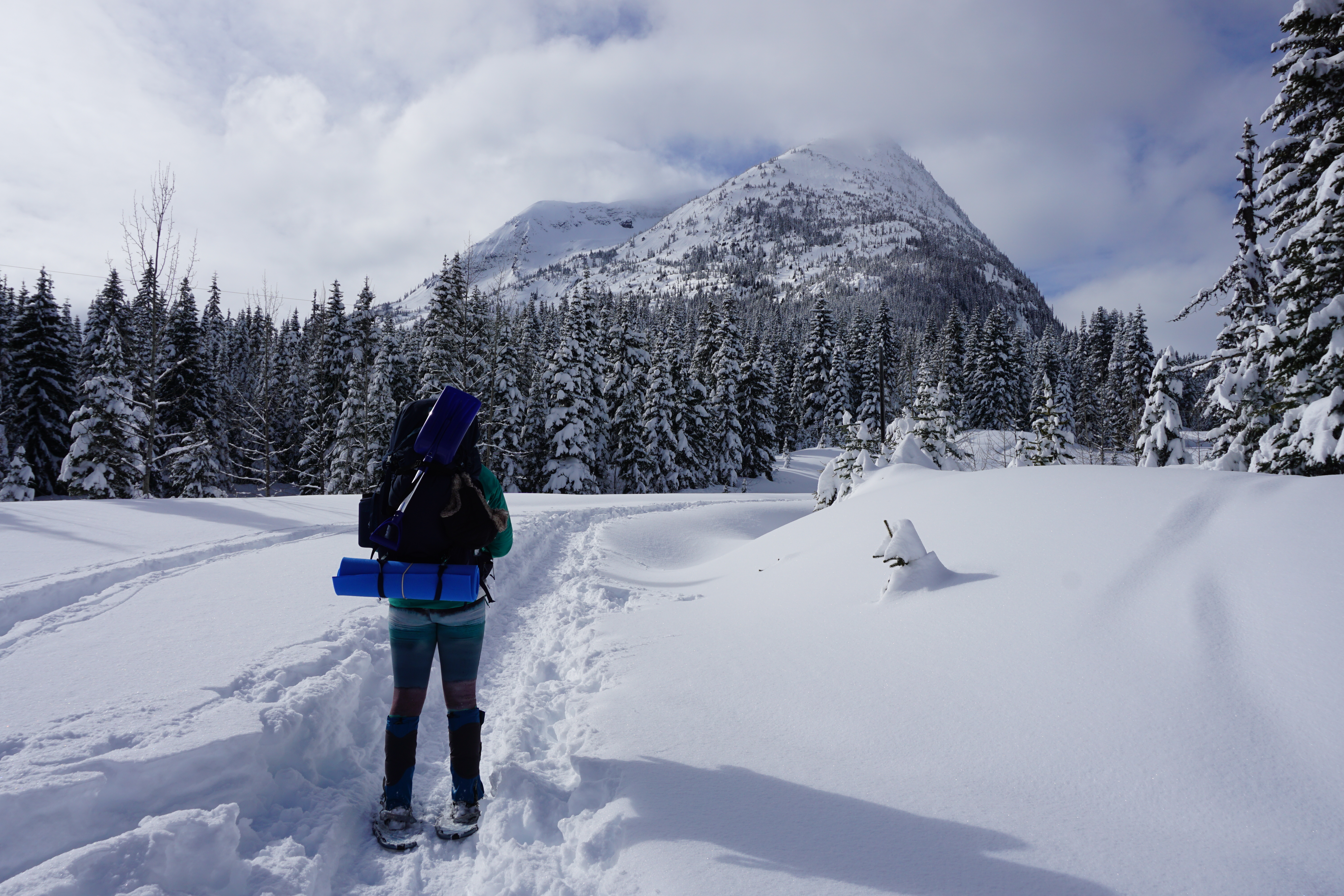
Poland Lake

IMG-20220123-WA0031

Location: E.C. Manning Park (East of Hope)
Season: July – September
Terrain: 16km, 500m gain
Leash rules: on-leash
Permits: Registration required. $5pp, per night from camping.bcparks.ca. Book 2 weeks in advance.
Description: I’ve only hiked this trail in the winter, but it’s a great camping option year round and is one of the less popular trails in Manning Park. Park at Strawberry Flats for this hike. In the winter you will need to hike up along the edge of the ski resort, as you’re not allowed to hike across it.

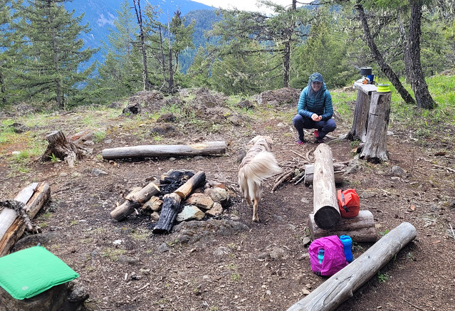
Lightning Lakes Chain Trail

PSX_20260616_101226

Location: E.C. Manning Park 
Season: May – October
Terrain: 14km, flat (22km if you go all the way to Thunder Lake)
Leash rules: on-leash
Permits: Registration required. $5pp, per night from camping.bcparks.ca. Book 2 weeks in advance.
Description: This would be a fairly easy trail since it’s mostly flat, but it’s not well maintained and there is a lot of blowdown. Be prepared to be climbing over trees fairly regularly. The campsite is located just past Strike Lake at 7km. It can be busy in the Spring and Summer, but there are a lot of tent pads and room for overflow camping. Continue another 4km to visit Thunder Lake, which is the end of the trail.

Falls Lake

Location: Coquihalla Summit Rec area 
Season: year-round, but snowshoes are required in the winter
Terrain: summer (2km, 70m gain); winter (4km, 100m gain)
Leash rules: on-leash
Permit: None required
Description: This is a short trail that can be completed in the winter with snowshoes. However, the access road is not plowed in the winter, making the approach twice as long. There is a small campsite located on the back of the lake.

Tikwalus Heritage Trail

20220528_164804

Location: North of Hope, off Highway 1
Season: May – October
Terrain: 12km, 750m gain
Leash rules: on-leash
Permit: None required
Description: Tikwalus Heritage Trail is an easy but steep trail located just past Hells Gate on Highway 1. Most of the hike is in the forest, but there’s a nice view from the campsite.

HBC Heritage Trail

20230723_180155

Location: Hope to Tulameen
Season: July – September
Terrain: 80km, over 3000m gain
Leash rules: on-leash
Permits: None required
Description: This is an advanced trail for advanced hikers and dogs. This is not a trail that you try backpacking on and your dog should have lots of backpacking experience before attempting this trail as well. If you regularly hike challenging trails together, this is a great multi-day thru hike option. There are very few hikers are this trail and you’ll likely have it all to yourself. There are several campsites along the trail that you can choose from.

Lindeman Lake / Greendrop Lake

DSC09886

Location: Chilliwack Park (Chilliwack)
Season: year-round to Lindeman Lake, spikes are needed in the winter
Terrain: Lindeman (4km, 200m gain); Greendrop (12km, 400m gain)
Leash rules: on-leash
Permits: Registration required. $5pp, per night from camping.bcparks.ca. Book 2 weeks in advance.
Description: This is a short but steep trail to a beautiful lake and campground. It is very busy year-round and the parking lot has been targeted for theft, so plan accordingly. If you want to continue on to Greendrop, it is a much longer hike and the view from the campsite isn’t as nice, but there will be less people.

Viewpoint Beach / Half Moon Beach

20200606_090801

Location: Golden Ears Provincial Park
Season: June – October
Terrain: Viewpoint Beach (9km, 150m gain); Half Moon (20km, 350m gain)
Leash rules: on-leash
Permits: Reservation required. $25pp, per night from camping.bcparks.ca. Book 3 months in advance.
Description: This is a popular trail near Vancouver with lots of space for camping. The trail to Viewpoint Beach is fairly easy, but the trail to Half Moon Beach is much more technical, so be prepared for a longer hike.

Semaphore Lakes

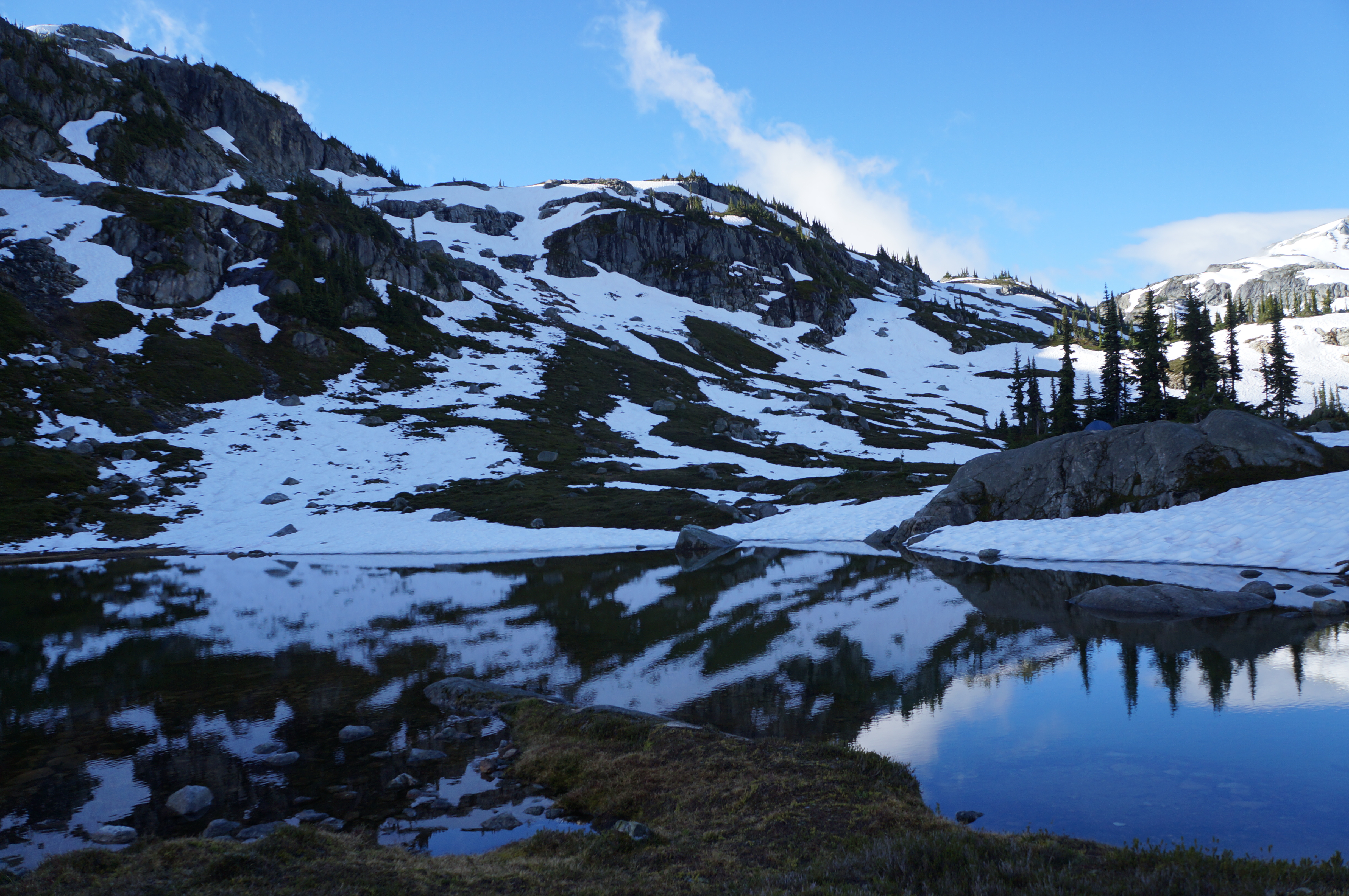
A photo of Semaphore Lakes on a sunny day with lots of snow still clinging to the mountains in BC.

Location: Semaphore Lakes Rec Area (west of Pemberton Meadows)
Season: July – September
Terrain: 5km, 350m gain
Leash rules: on-leash
Permits: None required
Description: This is a short hike, but it is fairly steep. The trail has become very popular in recent years for its easy access to beautiful alpine landscapes and two lakes. The trail is primarily in the forest until you reach the lakes, from there you can explore further around the surrounding alpine. I believe this site has an outhouse, but I’m not sure if it has a bear cache, so plan accordingly.

Sunshine Coast Trail

DSC01050

Location: Upper Sunshine Coast Trail
Season: June – October
Terrain: 180km, thousands of metres of gain
Leash rules: on-leash
Permits: None required
Description: This trail is easy than the HBC Heritage Trail, but substantially longer. This trail is for experienced backpackers and dogs only. Dogs do not have the same endurance as humans to hike day after day, so training is essential. However, there are lots of options to do shorter sections of the trail with your dog, such as the fairview loop or Manzanita Bluffs. Dogs are not permitted in the huts, so bring a tent.

Landslide Lake

20220912_144055

Location: Strathcona Provincial Park (Vancouver Island)
Season: July – September
Terrain: 10km, 500m gain
Leash rules: on-leash
Permits: Registration required. $5pp, per night from camping.bcparks.ca. Book 2 weeks in advance.
Description: This is a nice forested hike up to a beautiful alpine lake. You cannot camp at the lake, but there are two campsites along the way, Butterwort Flats and Upper Gravel Bar.

San Josef Bay

20250420_085733

Location: Cape Scott Park (Vancouver Island)
Season: year-round
Terrain: 6km, flat
Leash rules: on-leash, highly recommended due to the presence of wolves
Permits: Registration required. $5pp, per night from camping.bcparks.ca. Book 2 weeks in advance.
Description: This is the only part of Cape Scott Trail where dogs are permitted. It’s a short flat walk to the beach where you can camp or explore the sea stacks. Check the tides and visit at high tide to walk around the sea stacks to the second beach. It’s a beautiful place to camp and you can tent right on the beach.

12 Easy Dog-Friendly Hikes near Vancouver

I hike a lot, but something I haven’t focused on much on this blog is dog friendly hiking. I have a 6 year old Australian Shepherd named Sadie. She sometimes features on my posts, but she’s always a consideration when I’m planning a hike, sometimes coming with me, sometimes staying behind. Unfortunately, she is a reactive dog, which for her, means that she is afraid of other dogs and will usually “react” if forced into close proximity with them. Her reactions mostly look like barking and pulling at her leash, unless we can successfully distract her. 

We’ve spent a lot of time training her to focus on us when presented with other dogs, and if we see the dog in advance, we can usually be successful at this by stepping off the trail and giving her with treats. For this reason, we stick to on-leash trails because it’s very hard to control her reaction when off-leash dogs approach her. If you’re taking your dog to dog-friendly trails, please make sure to respect the on/off leash rules. I personally don’t fault people for letting their dogs off-leash when there’s no one around, but please don’t let your dog approach any person or dog off-leash if you are on an on-leash trail. And please don’t let your dog off-leash if they do not have good recall or you cannot get them to go back on-leash when required.

Please also make sure to pick up after your dog. Dog poo is not natural and carries lots of harmful bacteria that has been proven to lead to e.coli in waterways. We live in a very populated city and these trails all see frequent use. If people don’t clean up after their dogs, it is death by a thousand cuts and it will impact the experience. So those are my PSA to dog owners, thanks for respecting trail rules! Here’s some great trails within a few hours drive that make for an easy hike with your furry friend!

Brandywine Falls/Nairn Falls

DSC07504

Location: Brandywine Falls Park/Nairn Falls Park (Whistler/Pemberton)
Season: April – November
Terrain: 1.5km, flat
Leash rules: on-leash
Description: These are both flat and easy trails located off the Sea to Sky highway around Whistler and Pemberton. Great if you love waterfalls. Do not try to hike to the base of Brandywine Falls, it is not permitted.

Starvation Lake

20240706_114205

Location: Starvation Lake Rec Site (Squamish)
Season: most of the year
Terrain: 6km, 130m elevation gain
Leash rules: recommended to keep on leash
Description: This is a nice trail to a beautiful lake, fantastic for swimming in the summer. It doesn’t get a lot of visitors and can be accessed from Paradise Valley Road or the Sea to Sky highway.

Brohm Lake

DSC06113

Location: Brohm Lake Forest (Squamish)
Season: most of the year
Terrain: 6km, 200m elevation gain
Leash rules: a mix of on and off leash trails
Description: This is a great trail for a forest walk in gloomy weather, or for a swim on a hot and sunny day. It is very popular in the summer and the parking lot fills up quickly. You cannot park on the road, so plan accordingly.

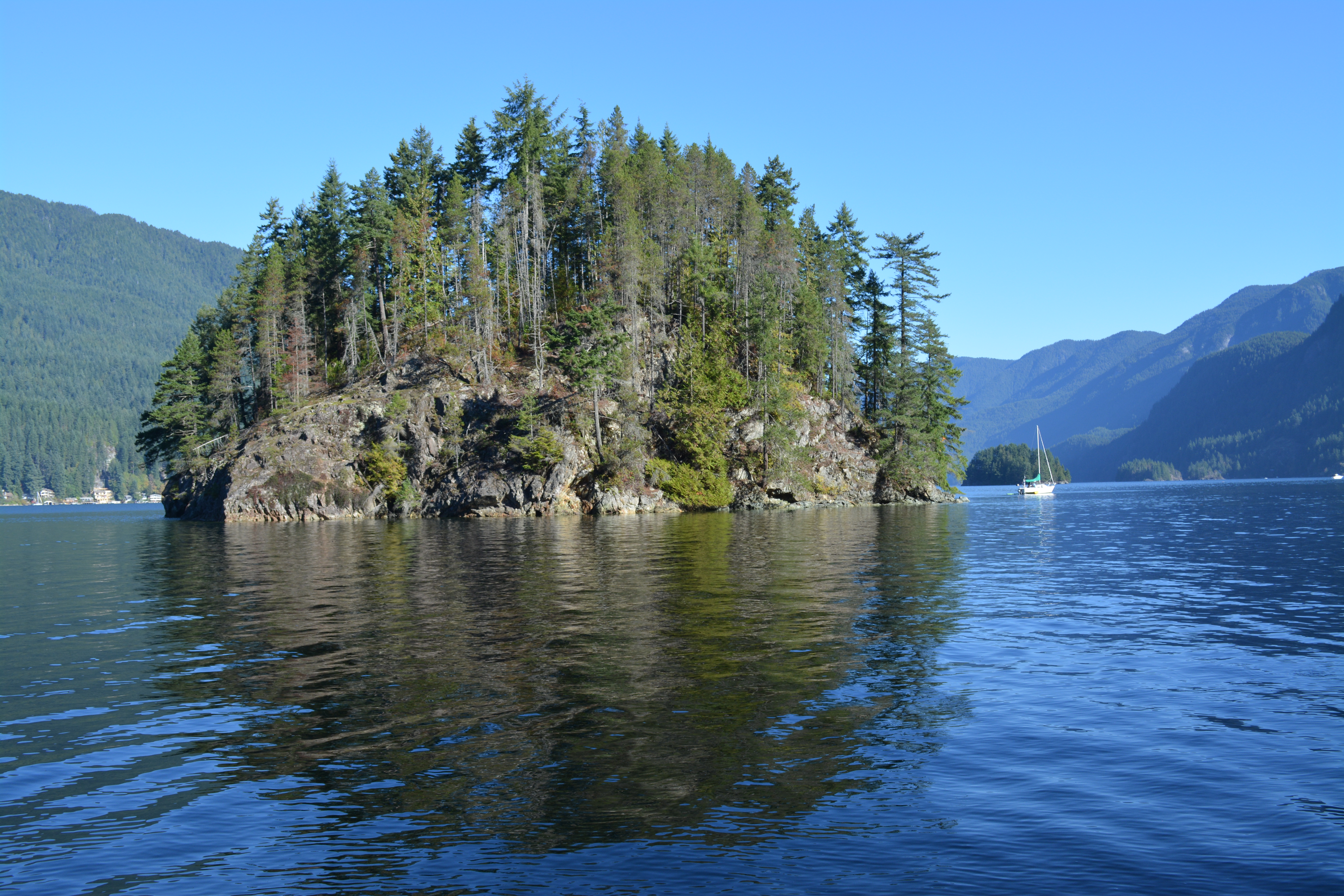
Jug Island/Admiralty Point

A photo of Jug Island and Indian Arm on a sunny day in Belcarra, BC.

Location: Belcarra Regional Park (Belcarra)
Season: year-round
Terrain: 5km, 150m elevation gain
Leash rules: on-leash
Description: This is a great year round hike along the ocean. Both trails leave the parking lot in opposite directions. They are similar in length, but Admiralty Point is the easier trail with scenic views along the way, while Jug Island has a beautiful beach at the end of the trail.

Woodland Walk

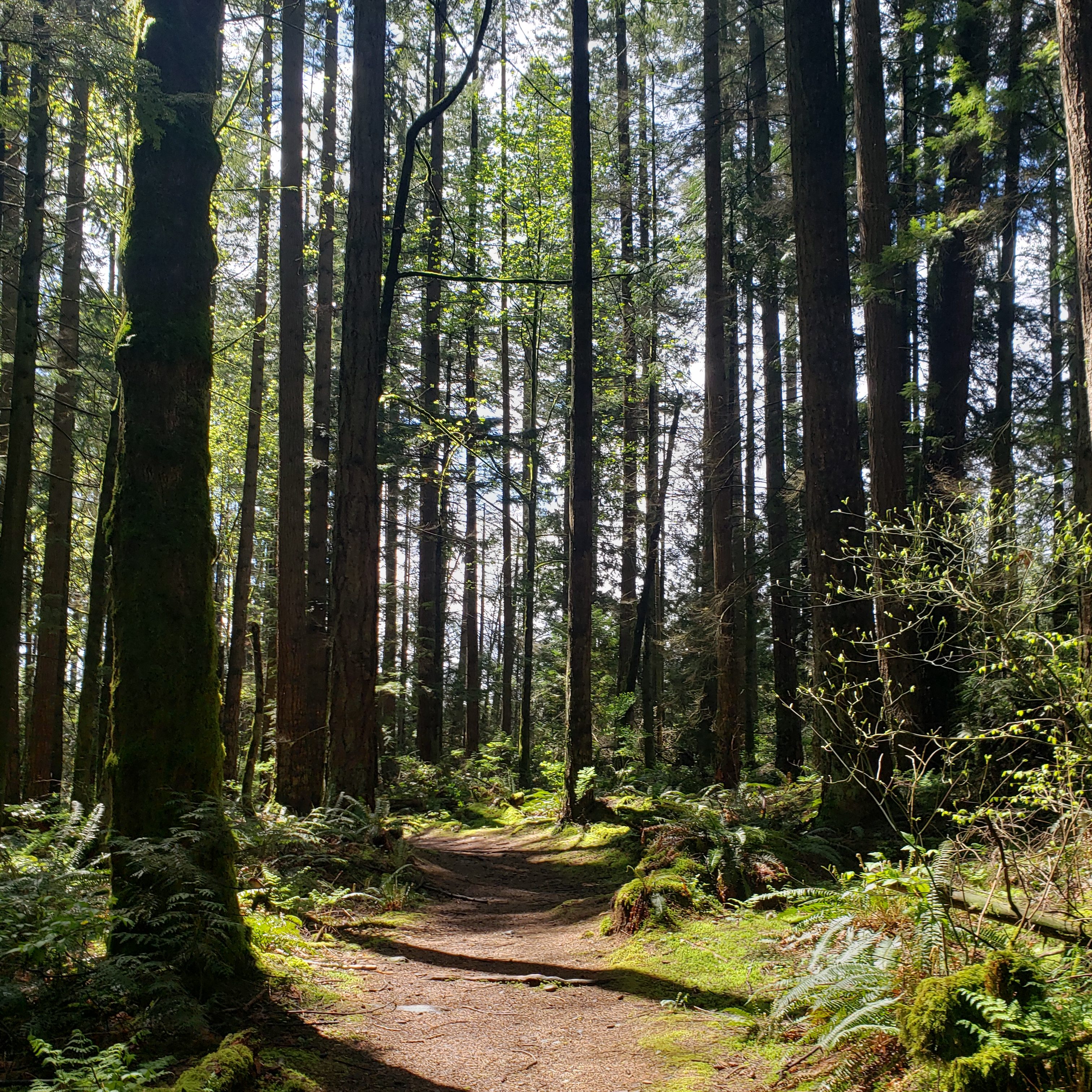
A photo of a forested trail in Pinecone Burke Provincial Park on a sunny day near Coquitlam, BC.

Location: Pinecone Burke Park (Coquitlam)
Season: most of the year
Terrain: 7.5km, 250m elevation gain
Leash rules: on-leash
Description: This is a lesser known park that is very close to the city. It attracts a lot of mountain bikers, who share the uphill access trail, but otherwise, you won’t encounter a lot of people. There is a shooting range nearby if your dog is bothered by loud noises. Access from the top of Harper Road.

Hunter Road

Three hikers and their dog pose at a viewpoint with the snow capped mountains and Stave Lake in the background at Hunter Road, near Mission, BC.

Location: Mission 
Season: most of the year
Terrain: 8km, 250m elevation gain
Leash rules: on-leash
Description: This is the only trail on the list that’s not in a park. The trail follows an old logging road to a scenic viewpoint of Stave Lake and it isn’t very busy in the off-season.

Lindeman Lake

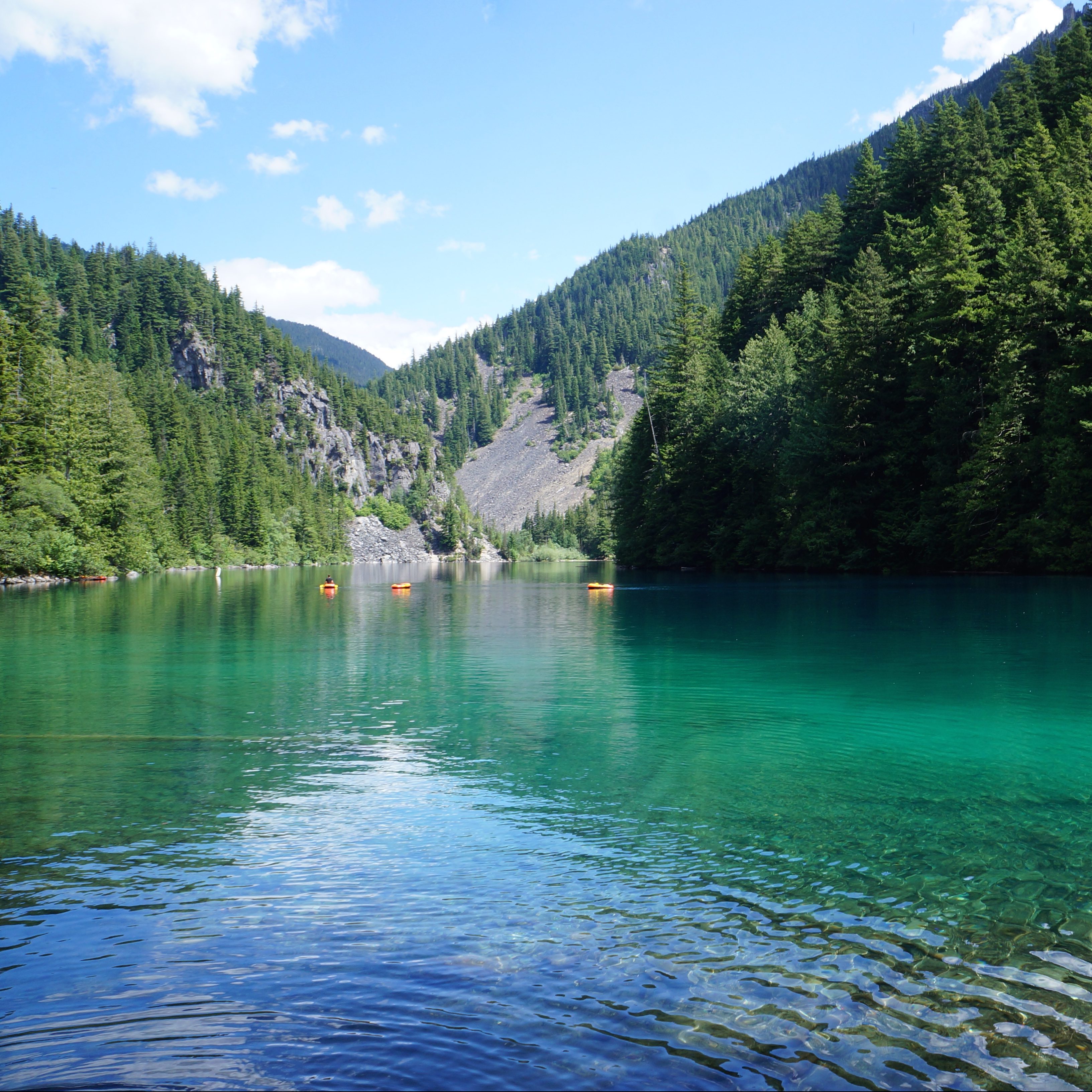
The blue green hues of Lindeman Lake on a sunny day in summer while people lounge on the water with the mountains in the background in Chilliwack Lake Provincial Park in BC.

Location: Chilliwack Park (Chilliwack)
Season: year-round, spikes are needed in the winter
Terrain: 4km, 200m elevation gain
Leash rules: on-leash
Description: This is a short but steep trail to a beautiful lake and campground. It is very busy year-round and the parking lot has been targeted for theft, so plan accordingly.

Falls Lake

Location: Coquihalla Summit Rec area 
Season: year-round, but snowshoes are required in the winter
Terrain: summer – 2km, 70m elevation gain; winter – 4km, 100m elevation gain
Leash rules: on-leash
Description: This is a short trail that can be completed in the winter with snowshoes. However, the access road is not plowed in the winter, making the approach twice as long. 

Lightning Lakes

20200508_150721

Location: E.C. Manning Park 
Season: year-round, but snowshoes are needed in the winter
Terrain: 5-8km, flat
Leash rules: on-leash on trail, but off-leash at the dog beach
Description: This is an easily customizable trail where you can hike around one or two of the lakes. In the winter, it is usually possible to snowshoe across the lake, but return to the trail near the bridge as the river usually doesn’t freeze.

Skookumchuck Narrows

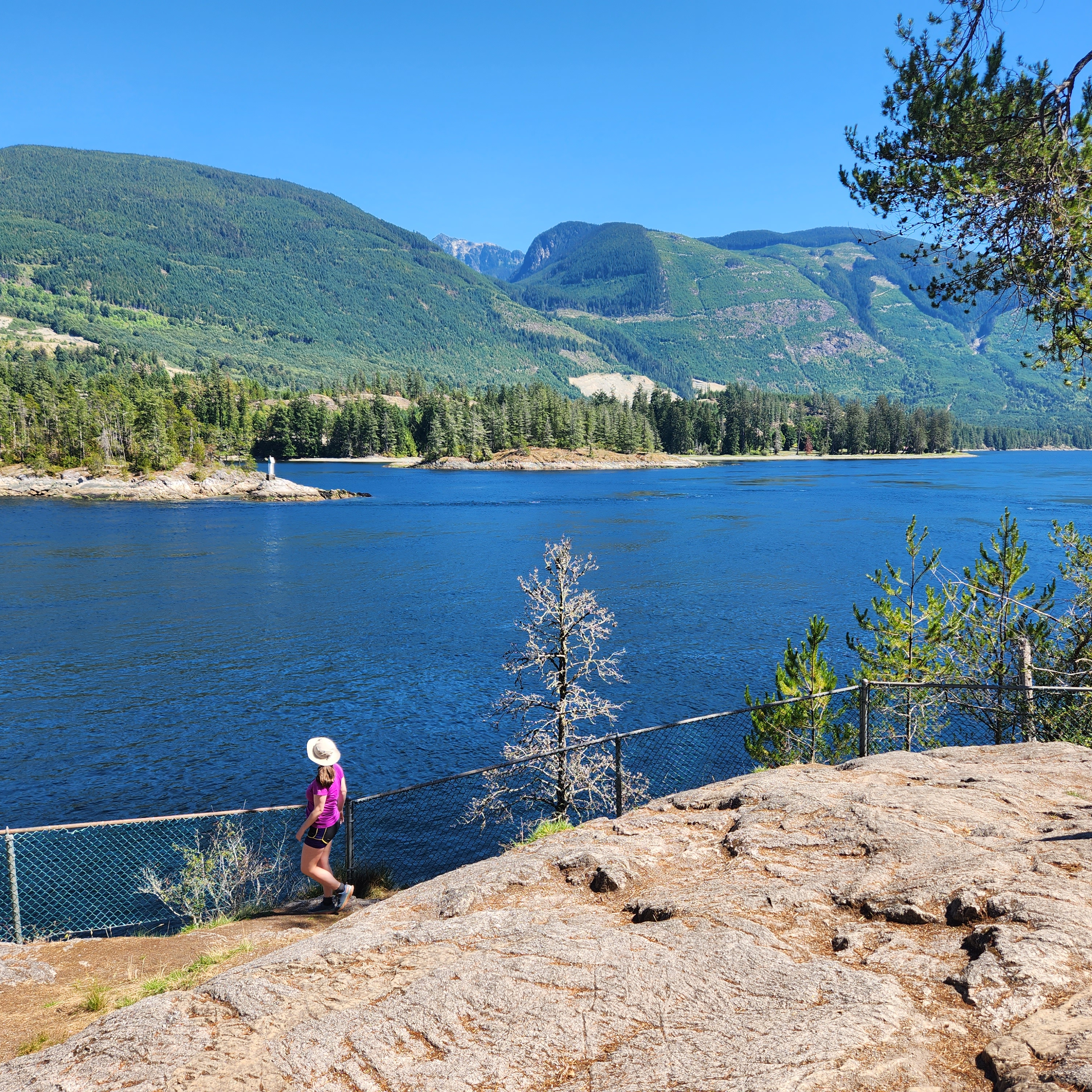
A female hiker stands next to a fence, looking out at the fast moving water of Sechelt Inlet near Skookumchuck Narrows, with the mountains in the background on a sunny, summer day, on the Sunshine Coast, BC.

Location: Skookumchuck Narrows Park (Sunshine Coast)
Season: year-round
Terrain: 9km, 150m elevation gain
Leash rules: on-leash, especially near the rapids!
Description: This is a forested trail to the Skookumchuck Narrows, a natural phenomenon that occurs during certain tides as the water funnels in and out of the channel. Check the best timing before your visit so you can watch adventure enthusiasts playing in the rapids.

Lower/Upper Myra Falls

Little Myra Falls cascades over bare rock and into Buttle Lake on a sunny day in Strathcona Provincial Park on Vancouver Island, British Columbia, Canada.

Location: Strathcona Park (Vancouver Island)
Season: April – November
Terrain: Lower – 1km, 50m elevation gain; Upper – 8km, 150m elevation gain
Leash rules: on-leash
Description: These are two separate trails with different access points, but both are located at the far end of Strathcona Park. Lower Myra Falls is the more scenic and easier trail, but the Upper Falls makes for more of a hike. 

San Josef Bay

PSX_20250428_203804

Location: Cape Scott Park (Vancouver Island)
Season: year-round
Terrain: 6km, flat
Leash rules: on-leash, highly recommended due to the presence of wolves
Description: This is the only part of Cape Scott Trail where dogs are permitted. It’s a short flat walk to the beach where you can camp or explore the sea stacks. Check the tides and visit at high tide to walk around the sea stacks to the second beach.

Hiking Raft Cove

Seth and I finished hiking out from San Josef Bay around 11:30am on Easter Sunday (see previous post). Our friends departed earlier in the morning because they had to return to work on Monday. Lucky for us, we had one more day off, so we planned to explore further around the backcountry! 

I shared in my previous post that there is 65km of gravel roads connecting Port Hardy and San Josef Bay. The main road to San Jo is really only the tip of the iceberg in this area and there’s an extensive network of forestry roads connecting all around the north part of the island. You do have to be careful driving around though because there is active logging happening. I don’t believe there’s logging on the main road, but if you’re on one of the branch roads on a weekday, you should use a radio. 

The town of Holberg is a central location connecting several of these roads. It’s really just a small community that I’m assuming is mostly loggers and truckers, but they do have a small restaurant called the Scarlet Ibis that is worth checking out along the way! Other options are taking the FSR’s down to Winter Harbour or Grant Bay, which I haven’t had the opportunity of visiting.

20250420_135521

Our route was a little bit different. In exploring other options for backpacking in the area, I discovered Raft Cove. It’s another beautiful golden sand beach that’s located down Ronning Main, which branches off San Jo Main a few kilometres before you get to the trailhead. It’s about a 30-45 minute drive from the San Jo parking lot, depending how fast you drive on the sketchy roads. We did the drive to San Jo Bay as a convoy of two vehicles, which I prefer in case you have car troubles. But our friends had left, so I was a little bit nervous about driving down Ronning Main on our own. 

Fortunately, our experience was that Ronning Main was actually in better condition than San Jo Main and we drove slow with no issues. We even saw a black bear on the road along the way! Ronning Main continues to Cape Palmerston, which we didn’t visit, but a few kilometres before the end of the road, there’s a small parking lot for Raft Cove. There were only 3 other cars when we visited, so it’s not a very popular location. 

20250420_145835
20250420_145452

The trail to Raft Cove is 2km through the woods and then 1km along the beach to the campsite. So it’s a similar distance to the trail at San Jo Bay, but it’s in very different condition. The 2km through the forest are much more emblematic of what I experienced on the North Coast Trail. It’s a muddy trail through the woods, with lots of technical sections. Some of the reviews online are pretty intense – I didn’t find the trail all that bad, but maybe I was just prepared for a rough trail and it met my expectations. It took us ~45 minutes to reach the beach on the way in and closer to an hour on the way back. 

Dogs are permitted at San Jo Beach and Raft Cove, but definitely exercise caution. Both beaches are in bear, wolf, and cougar territory, so always keep them leashed. We did let Sadie run a little bit on the wide open empty beach, but we kept her very close to us (and leashed) on the trail. The trail hikes up and over and small headland, so be prepared for a little bit of elevation gain. Sadie loves technical trails, the muddier the better, so she had a blast!

20250420_145719
20250420_134843

Raft Cove is breathtaking. I’ve heard it described as “San Jo Bay without the tourists” and that was pretty accurate to our experience. The beach is over a kilometre long and it was completely empty when we arrived. We lucked out and it was low tide, so we checked out the tide pools and sea arches along the coast before walking down the beach. There’s a campsite at the end of the beach where the Macjack River meets the ocean. We encountered a few other people and learned that a slightly more popular way to visit Raft Cove is to paddle ~5km along the Macjack River to the campsite. Accessing the put-in seems slightly more challenging though. I did some research and it looks like you have to take the road to Winter Harbour out of Holberg instead, and then drive up along Topknot Main to the parking lot. I don’t know anything about the condition of the road, but it looks to be a bit of a longer drive. 

In my original itinerary for the trip, I planned for us to spend our last night camping at Raft Cove. I’m sad we never ended up doing it because it’s a beautiful place to stay, but we changed our visit to a day trip instead. Our ferry reservation had gotten moved earlier, to 3pm, and it would be way too exhausting to have to hike out 3km in the morning, drive 2.5 hours on gravel road, and then still have to drive 4 hours from Port Hardy back to Nanaimo. So we made the most of the visit as a day trip and really enjoyed the solitude along the beach. Always leave something to come back for right?

20250420_140140

Instead, we hiked back to the parking lot, returning to our car around 4pm. We wanted to get most of the gravel road done to save ourselves the trouble on Monday morning. Seth drove all weekend and did a great job navigating all the potholes. I have to conclude that he is a better driver than Brandon, because we didn’t get any flat tires on our trip! 

It was over 2 hours to drive back and ~5km before exiting the gravel road, we turned off on Georgie Main to drive 6km down to Georgie Lake Rec Site. I slept at Nahwitti Lake Rec Site for a night when we had the flat tire, but that campsite is now listed online as closed due to dangerous trees. It didn’t appear closed from the road, so I’m not sure how recent that information is. In any case, I wanted to try a new rec site and we decided to try for a site at Georgie Lake instead. Georgie Main is in worse condition than the main road, but still doable in any vehicle, there’s just a lot of potholes.

PSX_20250429_084008
PSX_20250429_083908

There are currently two old campers taking up the two large spots at the back of the site. Neither is occupied, so I’m not sure if someone is just storing them there or if they’re abandoned. Fortunately, there’s 5 much nicer sites down by the lake and only one was occupied when we arrived. Shortly after us, 3 more vehicles arrived and we thought all the sites were taken, but two of the vehicles were just using the rec site for day use and had a fire down by the lake. So in total, 3 sites were occupied on Easter Sunday of the long weekend, so I think it’s reasonably reliable that you could get an impromptu site here. We weren’t there for a long time, only for one night, but we enjoyed a beautiful sunset over the lake before heading to bed.

We were up early again on our final day to drive back to Nanaimo. It didn’t take us too long to exit the gravel road and then it was smooth pavement all the way to Nanaimo! We stopped briefly in Port MacNeil for a sink bath and then had a delicious meal at The Fork and Arrow in Campbell River. It was a great trip and I’m glad I got to visit two beautiful beaches. There’s still a lot more to do in this area, but I’ll probably give it another 5 years before I return to tackle more attractions. There’s always something exciting to explore in BC!

20250420_195623