I’ve been living in Vancouver for over 10 years now and I’ve been downhill skiing every single one of those years. Most of my time has been spent at Whistler Blackcomb, but I make a point to try and ski a new resort every year. I haven’t made it to every ski resort on this list, but I’m sure I’ll get to them all one day!
Local Mountains
Cypress is the biggest of the local mountains and the first resort I skied in BC. The resort is split between Black Mountain and Mount Strachan and has 4 major chair lifts. It’s a very busy mountain on weekends, so my preference is hitting up the mountain after work for night skiing! The highlight of this mountain is the view of Howe Sound from the Sky Chair.

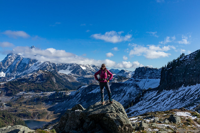
Seymour is a great family mountain. It has two lifts and is a great little mountain if you have kids or are learning to ski. It will be busy here as it’s a popular location for snowshoeing and touring as well. My favourite way to visit is to skin up to Brockton Point on my touring skis and then ski down through the resort. It’s a great place for night skiing and sunset views!
Grouse Mountain
Grouse is probably the most well known resort in the city as the ski slopes can be seen from all over the lower mainland, especially when they’re lit up for night skiing. Believe it or not, I have never actually skied Grouse, mostly because it’s the smallest resort and you have to take a gondola from the base to access anything, but I’ve heard the views are unparalleled!
Resorts within a 2-hour drive

Whistler Blackcomb is by far the most well known ski resort on this list, and for good reason. It’s a premier ski resort and it has access to an incredible amount of terrain. I ski Whistler Blackcomb for 5-6 days every year and I never get tired of it. It will always be busy, so embrace the early morning rise to get in a few good runs before the crowds really pick up! My favourite areas to ski are 7th Heaven on Blackcomb and Symphony on Whistler.

Sasquatch is a small resort north of Harrison. It’s surprisingly close to the city, but difficult to access because it has a gravel road that requires snow tire chains. But it’s a really nice resort with 3 chairs and low crowds (even on weekends). It didn’t have much powder when I visited it, but I’ve heard it can get a nice amount of powder and the runs seem designed around this, with lots of gladed tracks down the mountain.
Manning Park

Manning Park is another small resort. It’s further than Sasquatch, but generally easier to access. The challenge with Manning is that there are very limited accommodations near the resort. So plan to either drive up and back in a day, or stay in Sunshine Valley or Hope. I adore Manning Park for its unlimited recreation activities and while its cross country trails are much more well known, it has a nice downhill resort as well.
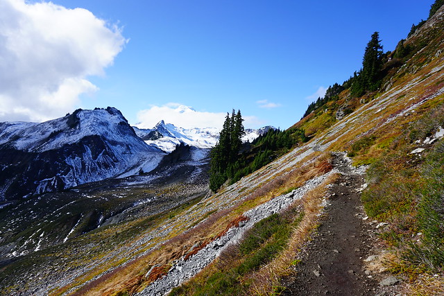
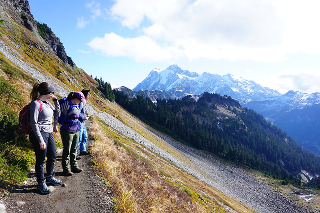
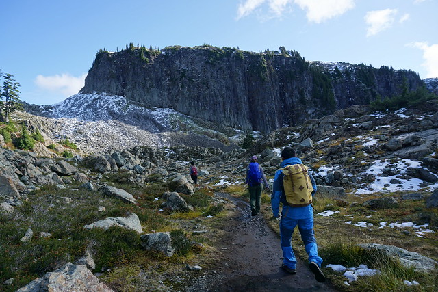
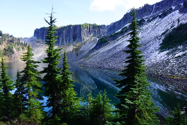
Mount Baker
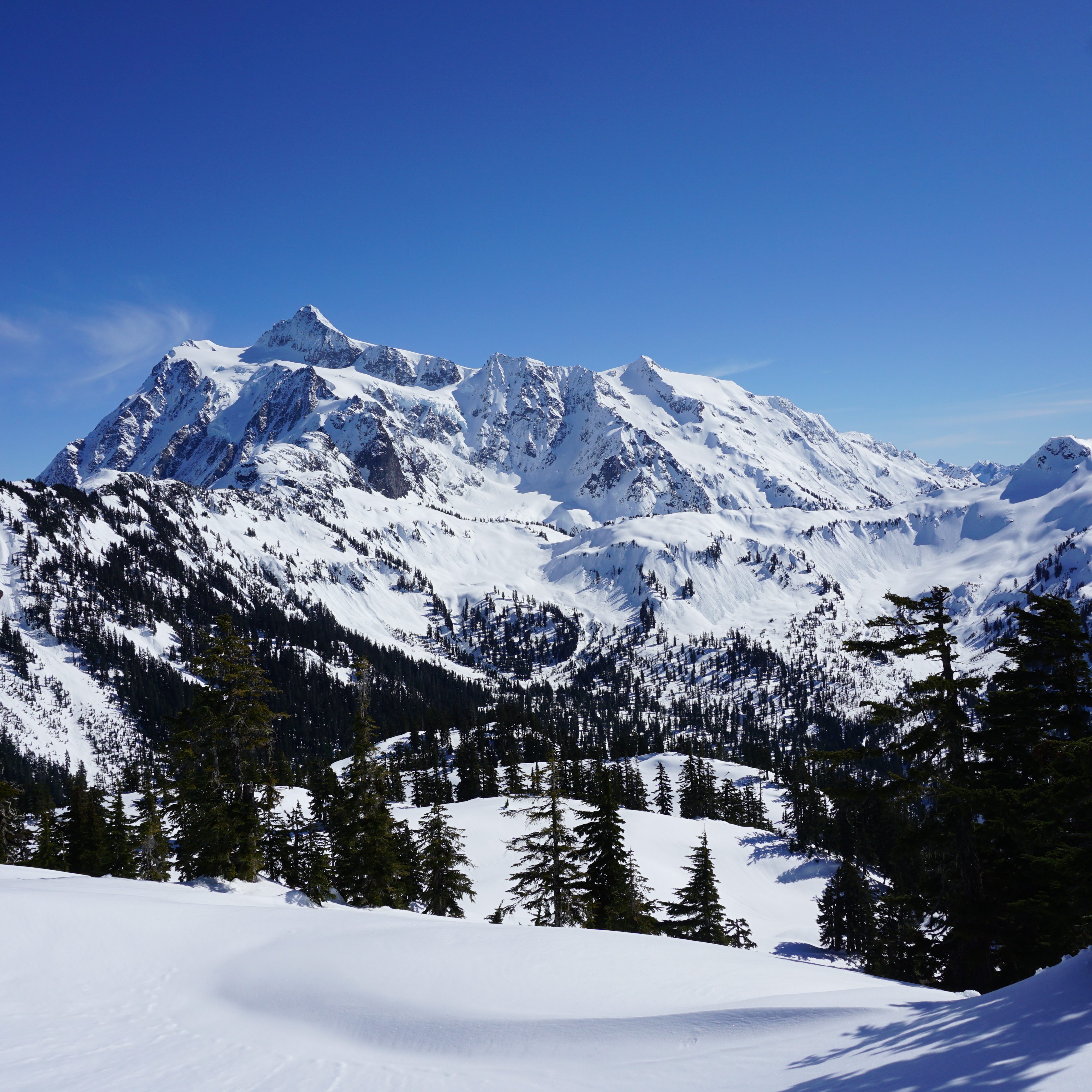
I have explored a lot around Mount Baker, but I haven’t had the opportunity to ski there yet (not for lack of trying, I had to cancel 2 trips). Odds are, most of the people skiing Mount Baker will be from BC to take advantage of the high amount of powder they get. The North Cascades are a beautiful place to visit and I love spending time in this area. There’s no where to stay on the mountain, but you can stay in Glacier, Bellingham, or drive there and back in a day.
Resorts within a 3-5 hour drive

Sun Peaks is the next biggest resort after Whistler. It’s located just north of Kamloops and is a great ski destination! There are tons of accommodations and there is lots of terrain to explore. The runs span both sides of the highway and have a huge variety of alpine and glade runs. Some of the smaller resorts on this list can be visited in a day, but definitely give yourself at least 2 days at Sun Peaks!

Of all the resorts I’ve visited in the interior, Big White is probably my favourite. It gets great snow and it has some fabulous runs. It’s located east of Kelowna and has tons of chair lifts to keep you busy. I really liked the ski village in Big White – Sun Peaks felt really large, while other resort villages felt a bit small. I may have a soft spot for this resort because it was the location of my first group ski trip, but I definitely want to go back in the future.

Silver Star Resort is located north of Vernon and is smaller than Big White and Sun Peaks. It also attracts less crowds, but can feel busy due to the smaller number of chair lifts. I’ll admit, Silver Star wasn’t my favourite resort, but I think it’s mostly because it didn’t have great conditions when I visited. It has a really nice village and I’d definitely be willing to give it another try!

Apex is one of the lesser known resorts in the interior (or at least, it feels that way). It’s located further south, east of Princeton, but west of Penticton. It gets less crowds than the other resorts I visited, but it had some truly awesome powder! I’m not sure if this is a common theme, but I have heard it tends to get dumped on in the winter. It’s a small village, but my favourite part was the forest skate loop!

If you want to visit Vancouver Island, Mount Washington is pretty much your only option. Take the ferry to Nanaimo and then drive north to Courtenay. Mount Washington is on the boundary of Strathcona Provincial Park and while the road up the mountain isn’t it great shape, it is a really nice resort for skiing and snowshoeing!

I discovered this resort because it’s included in my edge card/epic pass for Whistler. It’s located east of Seattle and is incredibly popular among the locals. There’s no ski village, so we stayed in Skykomish and drove into the resort in the morning. Be prepared for terrible traffic coming out of Seattle and aim for an early start. The lift passes will sell out and the parking lot will fill up, both of which will result in you being denied entrance. But it’s a great ski resort with some nice terrain if you plan accordingly!