Strathcona Provincial Park

Well, after my 8 post series on the Sunshine Coast Trail, I needed a little break, but now it’s time to catch up on the week I spent in Strathcona Provincial Park immediately after.

It’s unreal how many provincial parks we have in BC. Me and Brandon were all booked to hike the Skyline Trail in Jasper National Park in early September, but then 3 days before the trip we got an email from Parks Canada asking us not to come because of the wildfires. Technically our trail wasn’t closed, but the entire town of Jasper was without power and Parks Canada was encouraging people to cancel, so we listened and made other plans.

20220911_160047

We floated around a lot of ideas for where to go instead, but we had so little time in which to execute the trip that a lot of them were quickly ruled out. Brandon suggested Strathcona Provincial Park, which has been on his bucket list for a long time, and it sounded like the perfect place to do a mix of front and backcountry camping with limited preparations. It was the second week of September, so fortunately the crowds were gone and we didn’t have to worry about reservations. We hoped on the ferry on Sunday morning to spend a week exploring the park!

First off, Strathcona Provincial Park is huge! There are other large provincial parks nearby, like Garibaldi, but Strathcona is largely accessible by car, so it gave us a lot of National Park vibes as we were driving through, though you can tell it receives much less funding than a National Park. It’s not so far from Vancouver that you couldn’t visit over a long weekend, but the size definitely warrants a longer trip. What makes it tricky is that it has multiple entrances and they are all very far away from each other. For example, there are some great trails that can be accessed through Mount Washington and Courtney, but we opted to skip these to focus on the core park area, which is closer to Gold River and a bit of a further drive.

20220911_171333

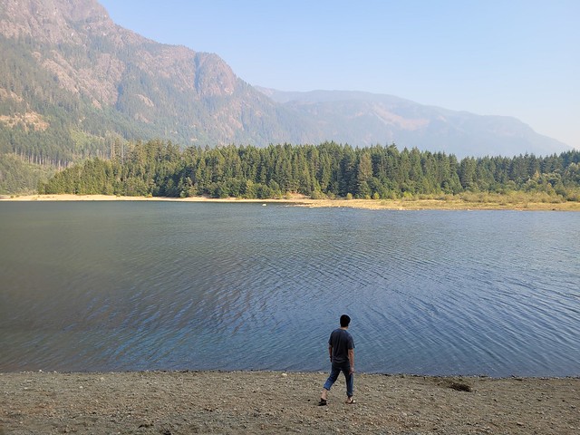
The core area of the park is centralized around Buttle Lake, which extends from tip to toe of the park. There are tons of backcountry campsites, but only 2 frontcountry campgrounds, both located on the lake. The Buttle Lake Campground is at the top of the lake, while the Ralph River Campground is down closer to the bottom. We opted to start at Buttle Lake and spent our first night exploring around the lake. It was a bit smoky when we arrived and the water level of the lake was really low. We went for a walk from our campsite and were able to walk right on to Rainbow Island due to the low water level. There’s a marine backcountry site located on Rainbow Island and I’m now keen to return to Buttle Lake with my kayak because there are several marine sites located along the opposite shore of the lake that would be fun to explore!

Since there’s so much to do, we only spent one night at Buttle Lake before making an overnight trek up to Landslide Lake, which is one of Vancouver Islands most popular backcountry hikes! Landslide Lake is a 20km trek on the northwest side of the park that is best done over 1-2 nights. We opted for 1 night and day hiked from the campsite up to Landslide and Foster Lakes. There’s a lot to talk about between those 2 lakes, so I’m going to write a whole separate post about that hike!

20220912_161033

After we finished the Landslide Lake hike, we decided to make a quick stop into Gold River to get lunch. It’s a tiny little town, but it has a lot of great eco tourism! It’s the launching spot if you’re doing the Nootka Trail, as well as if you’re doing any paddling around the coast. It has fishing and some great little tourist attractions if you’re just there for the day. We stopped into a little cafe for lunch and our waitress gave us a hot tip to check out the Heber River, which has the most beautiful little swimming hole! The water is vibrant blue and super clear, but boy is it cold! We both went for a dip, but it was a quick one!

20220913_152504

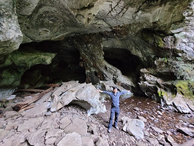
After our swim we got another hot tip when we were stocking up at the liquor store about an easily accessible cave system. About 20 mins west of Gold River, there’s a small Rec Site called Upana Caves. It’s a network of caves with 4 that are easily accessible after only 10 minutes of walking – just make sure to bring your headlamp! I’m a bit of a chicken when it comes to caving, but Brandon convinced me to go into a few and we ended up spending an hour crawling around. Our favourite was the last cave in the system, Resurgence Cave, which has a little river flowing through it and is pretty scenic. A bit of a different activity for us, but well worth the detour!

20220913_165056

Once we headed back into the park, we went on a bit of a tourist circuit of the easily accessible trails. There’s a ton of waterfalls in the park, most of which are located right off the highway. We stopped into Lady Falls, Lupin Falls, and Lower and Upper Myra Falls. Lower Myra Falls is definitely the shining gem of the park, so if you can’t get to them all, make sure you visit that one. You can swim in the falls, though it’s very cold. If you’re more adventurous, you can climb down from the falls to the bottom end of Myra Lake, which is a much nicer place to swim. Brandon and I had a proper bath here since we were in the park for a full week and neither of the campgrounds have showers.

20220914_102344

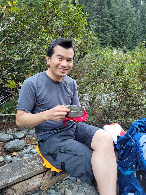
Since Lower Myra Falls is located at the bottom of the park, we opted to stay at the Ralph River Campground for 2 nights. Some of the sites appear to be “lakefront” which had us excited, but because the water level was so low, it was much more of a swamp then we were anticipating. We lugged all our gear out to the “beach” one night to cook, which was still nice, but I wouldn’t recommend it as a good place for swimming! In our case it started raining on us in the middle of our meal, but we were troopers and stuck it out anyways.

20220914_104306

The very end of the park is interesting because there’s actually an active mine right in the park! So a small part of the park is designated as “Strathcona-Westin Provincial Park”, which is basically just the extents of the mine. From what I understand, the mine already existed when they formed the park, so they let it continue operating. You actually have to drive right through it to get to some of the trailheads, including for Upper Myra Falls, so it’s an interesting experience!

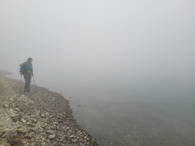
We decided to finish the trip with a second overnight hike up to Bedwell Lake. It’s also a very popular hike and our plan was to do both Bedwell and Cream Lakes. Unfortunately, the weather didn’t really co-operate with us for this hike. It was really nice when we started, but it got foggier and foggier the closer we got to the lake. After talking to some other people, it sounds like most of the park was clear that day, but a bunch of clouds got hung up in our area and unfortunately, we couldn’t see a thing. But I’m also going to do a full post about Bedwell Lakes, because it was still an eventful trip, even with the odd weather.

20220915_153608

We had planned to do one more hike in the park via Courtney on the way home, called Century Sam, but we got notice on the way to Courtney that the gate to the trailhead was closed. The road to the trail is on private property, so you are at the mercy of the property owners if you choose to visit that trail. There is no service anywhere in Strathcona Park, so be prepared for that when you visit.

The salmon were just starting to run when we were leaving the park, so we stopped along the river on our way out to watch people fishing and then hightailed it to the ferry when we heard Century Sam was closed. We ended up having a bit of a wait for the ferry, but were able to make it home the same night. So overall, I really liked Strathcona and I don’t think it’s a place I would likely have planned to visit without such an opportunity. That said, I left the park with even more trails on my bucket list then when I entered!

20220914_175941

SCT Part III: Big Sliammon to Powell River

Click here to start reading Part I.

The next day was exhausting in a whole different way. Emily had almost a dozen blisters on her feet and wasn’t feeling great. She has a bad history of getting blisters and has tried so many different pairs of boots. She hadn’t been having any issues with her current boots, but she also hadn’t done any hikes longer than 2 days in a while. Usually she doesn’t get blisters until around day 4, so it was a little concerning that she had them after just 2 days of hiking.

We had 3km to get to Little Sliammon Lake, also known as Shangri-la. Emily was moving pretty slow, but we got there and I went for another swim. Little Sliammon is more popular than Big Sliammon, but I’m not really sure why. Little Sliammon is more of a pond in my opinion, with lots of vegetation growing in the lake – but it does have a dock that extends past the vegetation, so I guess that’s why it’s popular. In contrast to us being the only people at the big lake, there were about a half dozen groups that had spent the night at the little lake. Some of them were thru hikers just doing the northern part of the trail and the rest of them were day hikers.

20220805_203430

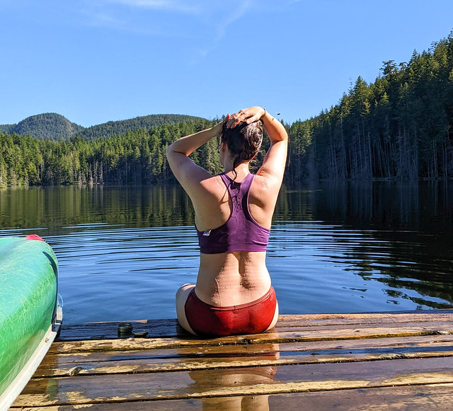
Emily didn’t want to have to re-do all her moleskin, so I went for a swim on my own. The water was still super warm so I opted to wash my hair with biodegradable shampoo and was feeling really nice and clean, despite my shirt and backpack smelling terrible.

Things went downhill after that. We had 7km to Powell River and Emily was really dragging her feet. I could tell she was upset, but I didn’t want to push her. There’s a bit of uphill after the lake, but then you hit an old logging road and it’s a very gentle downhill for 1.5km. Emily finally had a breakdown on the downhill and declared that her feet hurt too much and she couldn’t do it. I wasn’t sure if it was just your standard thru-hike trail despair or something more, so I told her to just focus on getting to the pub for now and think about the rest later.

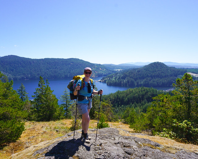
Eventually the road ended and the final 4km were pretty brutal. Not physically for me, but physically for Emily and mentally for both of us. The trail climbs up to Scout Mountain, which is similar to Manzanita Bluff and has amazing views looking out over Powell River – in any other circumstance I think we would have loved it – but we were both seeing our dream of completing the trail slipping away and the mood was very somber.

PSX_20220910_092245

As we approached Powell River we had a frank discussion about the trail and Emily admitted that she thought it would be a mistake to continue onwards. Her feet were in a lot of pain and she cried a lot of the way down. I think it was a combination of pain from the blisters, but also disappointment and questioning of whether she would be able to do long distance hiking at all in the future.

It felt like it took forever to go up and over Scout Mountain and the descent was particularly hard on Emily’s feet. Eventually we stumbled into the Shingle Mill pub, which marked 10km for the day and km 50 overall. If it was anyone else, I would have helped them figure out a way home and then continued on. Carolyn was coming through Powell River the following day and I could easily have completed the hike with her. But this was my baby sister who no longer lives in BC and had travelled thousands of miles to spend the week with me, so there was no question of continuing for me.

It was a disappointing decision because I was feeling really good. I’d loved the first 50km and I was feeling ready and capable of completing the next 130km. My family seemed pretty concerned about Carolyn and whether she would also get off the trail, but I knew she wouldn’t hesitate about completing the trail and she did go on to finish the entire 180km in just 7 days – 1 day faster than she’d originally planned. What a tank!

PSX_20220917_112741

Anyways, we had lunch in the pub while figuring out our next steps. We were planning to drive home with Carolyn and wouldn’t be able to go home that day because the shuttle bus only goes once a day, so we needed somewhere to stay for the night. We were trying to sort out hotels when Emily cracked a joke about how we should just fly Harbour Air back to Vancouver. Harbour Air actually flies right out of the pub because it’s located on Powell Lake, and while Emily was joking, I thought it wasn’t a bad idea.

I looked up the flight schedule and saw that there was one leaving in 3 hours, so we decided to go for it and booked 2 seats. With the cost of hotels, ferries, and shuttles, it was only about $100 more to book flights for the 2 of us and that put us both back in Vancouver the same day. Plus we got a scenic flight over the sunshine coast! You only need to check in for the flight 30 minutes early, so we hit up Townsite Brewing for a beer before heading back to Shingle Mill. I took a float plane once before to the hot spring in Tofino, but it was only a 3 seater. This plane had 14 seats, but it was hilarious that you literally just check in at the pub. They set up a little kiosk and take your bags – there’s no assigned seating or tickets.

20220806_173140

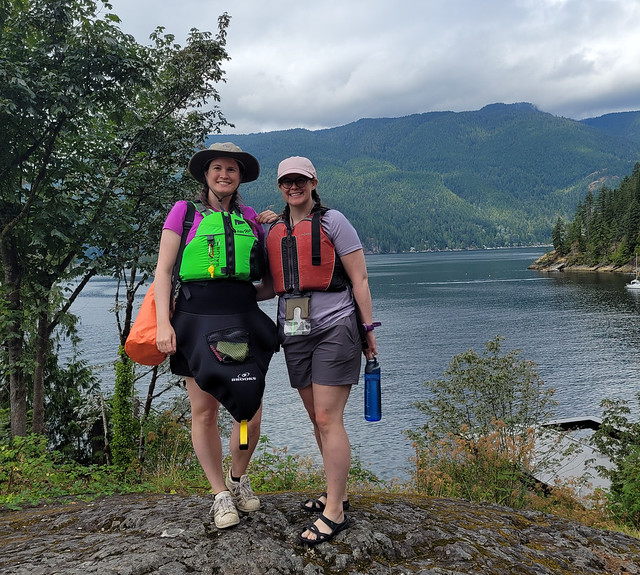
It’s about 45 minutes back to Vancouver harbour. It was very scenic, but it was definitely bittersweet. You fly right over the trail and I was disappointed about not getting the opportunity to summit Tin Hat, Walt Hill or Mount Troubridge – especially knowing Carolyn was going to do it days later. Seth picked us up downtown and we spent the rest of the week taking it easy. We couldn’t do any hiking, so we did a lot of swimming instead, visiting Sasamat Lake, Belcarra, Buntzen Lake, Alouette Lake, and the Cultus Lake Water Park. We went kayaking to Jug Island and the 8 Corners Tea Room and caught up with Carolyn when she finished, just before Emily returned back to Newfoundland.

That should be where this post ends for this year, but like I said in my first post, I haven’t been able to get this trail out of my head for 2 years and it kept haunting me after I finished. I still had 7 days of dehydrated food for 2 people that I’d spent weeks preparing and I felt incomplete. I didn’t want to put the trail off for another year. Who knows what next year might throw at me and I was ready to do the trail now.

So I decided to go for it. I’d already scheduled 2 weeks off in early September and was planning to go to Jasper for a week and a half with Brandon. He understood that I needed to go back to the Sunshine Coast, so we scaled our trip down to just a week and I returned to the trail on September 2nd, less than 4 weeks after me and Emily had got off the trail, this time solo. So stay tuned for Part IV!

20220813_122358

SCT Part II: Manzanita to Big Sliammon Lake

Click here to start reading Part I.

This was the biggest day of backpacking I’ve ever done. My sweet spot for backpacking is probably around 15km per day (except for the North Coast Trail, where it’s 10). We had a good experience doing 16km the day before, but we had to do some big days to finish the trail, so we opted for a big day after Manzanita. At minimum we had to go 17km to Rieveley’s Pond Hut, but we were hoping to push for 24km to Big Sliammon Lake, also known as Kokanee Campsite.

We aimed for an earlier start and were hiking before 8am. It’s a steady downhill for the first kilometre until you come to a water source just past the junction for the Spire Trail. The next 2-3km were a bit tiring; it was humid and there was lots of up and down, but the trail evens out around km 20 and it was nice and easy forest walking for most of the morning.

We stumbled upon some trail magic around km 22 where the trail intersects with Malaspina Road. Someone had left a cooler full of cold drinking water! So we didn’t need to hold out until the next source and filled our bottles. We hit Fern Gully campsite at km 24, which was a very basic and rustic site. It was nice enough in the forest with lots of shade, but I think it might be a little creepy to stay there on your own.

PSX_20220902_120341

There’s a steep uphill after Fern Gully, but it’s short lived and then the trail continued to be pretty easy. Our goal was to reach Plummer Creek Campsite by noon and we succeeded around 11:15am. Plummer Creek is located at km 26, so we’d already done 10km for the day. Plummer Creek itself is a great water source and I liked the campsite, which has lots of flat ground and a few picnic tables. The outhouse left a lot to be desired, but at least it had an outhouse! If you’re looking for a campsite between Manzanita and Rieveley’s, this is the one I would pick.

From there we decided to continue on to the next campsite before starting our lunch. It was 3km that took us through Tokenatch Forest, which was some of the nicest forest walking. There’s a lot of water and several small waterfalls in this section as the trail follows the Tokenatch River. The trail runs parallel to the road until you cross it at Homestead Rec Site, which consisted of lots of easy walking but a very disappointing site. It’s really just a gravel lot on the side of the road with a very dicey outhouse. It didn’t feel like a very safe site to me because of its proximity to the road (I’d rather take on bears than some people), so we stopped to eat some food and quickly continued on. We were sad to hear that Carolyn ended up staying at this site a day later, but she didn’t like it either.

PSX_20220901_093654

After that it was 4.5km to Rieveley’s Pond Hut, which is located at km 39. This was one of the more challenging sections of trail for the day. There’s a pretty big climb up to Gibraltar Lookout, which was extremely hot and wore us out. Plus the most disappointing part was that Gibraltar Lookout is optional and after a brief discussion where we decided to slightly extend the hike by doing the lookout, we accidentally took the wrong trail and ended up not even getting the view as a reward. It was a bit disappointing, but neither of us was willing to go back for it.

We arrived at Rieveley’s Pond Hut around 2:30pm, clocking in 17.5km for the day already! We were feeling pretty tired, so we decided to take a proper break and stopped at the hut for an hour. Rieveley’s Hut was similar to Manzanita in that it was partially open. We’d seen a handful of day hikers in the morning and there was a group of Dutch tourists there when we arrived. The pond itself is pretty disappointing and neither of us were interested in swimming in it, so instead we finished our lunch in the shade of the hut and took off our hiking boots for a while. Emily was getting some hot spots and had a blister forming, so she put on some moleskin.

Rieveley’s isn’t the most exciting hut, but it had a nice relaxing vibe. We wouldn’t have minded staying there, but we felt it was too early in the day to quit. We needed to do a big day and if we didn’t push further, we’d just have to get up early again and do it tomorrow. We had 6.5km to Kokanee campsite and decided to go for it.

PSX_20220902_120607

We departed shortly after 3:30pm. It was about 2km to Appleton Creek Rec Site, which we assumed would be dicey like Homestead, but this was actually a lovely site and I kind of regret not staying there. It’s in the forest, but it’s very bright and has a lovely fast-flowing river going through. There’s lots of room for tents in among the trees and there’s an outhouse and some benches. The only thing missing was a bear cache. From there the trail continues through Appleton Canyon for another 2km and I loved this section of the trail! You follow the river down through the canyon and though it’s all downhill (not our favourite), there are tons of beautiful waterfalls. I would have loved to swim in some of the pools, but it had been a long day and we were anxious to get to our campsite – though Carolyn told me after the water was very cold!

The Canyon ends when you cross Tomkinson Road and the last couple of kilometres to the campsite were pretty brutal. We were really tired and Emily’s feet had started hurting a lot. It was slow going and we were desperate to get there. It is a nice section of trail that goes past some other ponds, but we weren’t in the mood to really appreciate it. We finally rolled into the campsite shortly after 6pm, which is really quite reasonable, but we’d been hiking for 10.5 hours and 24km, so it felt like a very long day.

PSX_20220913_173910

Unfortunately Emily’s feet had taken a turn for the worse and she got a lot of blisters in the last 6.5km. Kokanee Campsite is located on Big Sliammon Lake at km 40 and it a very spacious site in the trees. It’s a bit dark, but there’s a small creek running through and lake access. We decided a swim would improve our spirits and went for a skinny dip. The water was extremely warm and refreshing and we let all our sweaty clothes dry out while we basked on the rocks.

We hadn’t seen anyone since Rieveley’s and no one else showed up, so we were the only ones at the campsite. It was a little spooky, so we played music for the rest of the night. The site does have an outhouse and several picnic tables, so it was really only missing a bear cache. We tied our bear bags to a tree again and hit the sack pretty early. We only had 15km to do the following day and would be passing through Powell River to pick up our re-supply, so we decided to sleep an extra hour in the morning.

Continue reading Part III.