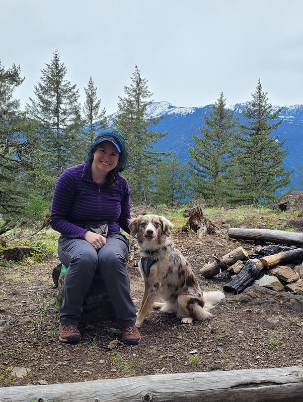
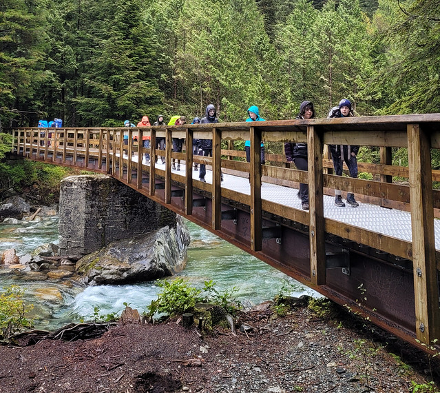
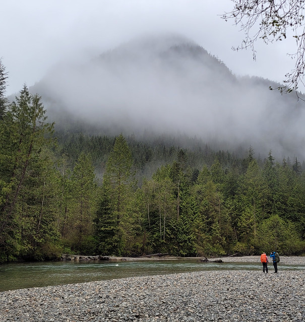
I recently made my annual summer trip home to Newfoundland for 10 days in early June and had the best time exploring some new trails! I wasn’t thrilled about going home in June because it’s not the nicest weather in Newfoundland at that time, but I ended up having to eat my words because I had really good luck while I was home! I got such fine weather I ended up doing 55km worth of hikes in just 7 days – the first of which was Chance Cove Coastal Trail.

Chance Cove is located about an hour and half outside of St. John’s on the far end of the Avalon peninsula on the isthmus. Chance Cove has definitely been trending on Newfoundland social media throughout the pandemic and I was starting to feel like everyone I knew on the island had been there over the past year. It looks incredibly scenic in photos, so I admit to being drawn to this hike by Instagram and I was determined to check it out for myself.
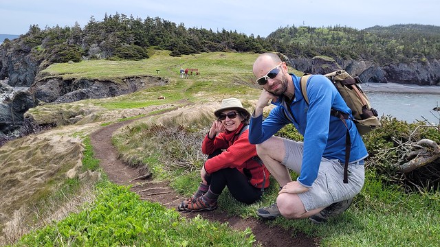
We got nice weather on our first weekend home and I convinced both mine and Seth’s families to do the hike with us. It’s only ~4km round trip and is fairly easy terrain, but it’s so scenic it ended up taking us 2.5 hours to do the whole thing!
What makes this hike especially nice is that it’s a double loop hike (kind of like a figure 8), so you get different topography along the entire hike. We started by climbing up into the woods until we reached Chance Cove Beach, which extends across the cove to the main road, then we switched back to the coastal route up towards Green Head. It was overcast and extremely windy when we started, with Green Head being the most blustery part of the trail. We hiked up to the head, but didn’t stay long because it was so cold, though it was cool to watch the wind swirl erratic patterns through the water.

From Green Head, you continue along the headland past Chance Cove Island to Island Cove Beach, where fortunately, the headland shelters you from the worst of the wind. There’s a newly constructed set of stairs going down to Island Cove Beach, so we took a long break on the beach to eat our snacks and enjoy the warmer (less windy) weather. As we continued on, the clouds started breaking up and pretty soon the sun was shining down on us!
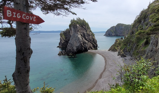
The next attraction is Patrick’s Cove (also known as Big Cove), but first you can hike up to a series of viewpoints between the two coves. With the sun shining, it completely transforms the landscape and the water turned the most vibrant shade of blue! You could almost be tricked into thinking you were somewhere tropical, if not for the wind.

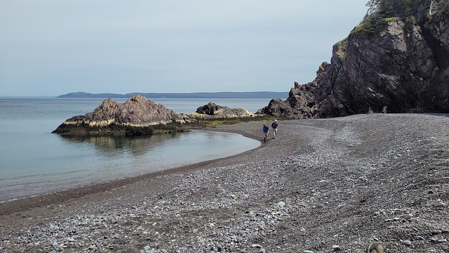
You can also hike down to Big Cove, which has a huge sea stack that is centered in most of the photos I’ve seen on social media. Unfortunately, there are no stairs going to Big Cove, just a large rope guiding you down the bank. I really wanted to see it, so I climbed down, but it’s still really steep and not for the faint of heart. The rope is positioned pretty awkwardly and some of my family members had some trouble, so I wouldn’t go down there if you’re not confident in your abilities. Definitely use caution.


If you do decide to climb down to beach, it is very lovely and would make a great place for a swim. Me and Emily toyed briefly with the idea of going for a dip, but we didn’t have swimsuits and it was a bit too breezy to air dry. We opted instead to wade out up to our knees. It wasn’t quite as cold as I was expecting at first, but it quickly starts to numb your feet and I had to stumble back to the beach to defrost!

From there we hiked back up the bank to get what I’d call the “money shot” of the hike. A view from above of the curved beach and sea stack. It was no longer sunny when we got there, but no less scenic! After that it’s a pretty easy walk back to the parking lot. There’s a small climb and then you head back down towards Chance Cove. You can cross the beach if you prefer, but given the wind, we decided to just hike back along the water instead.
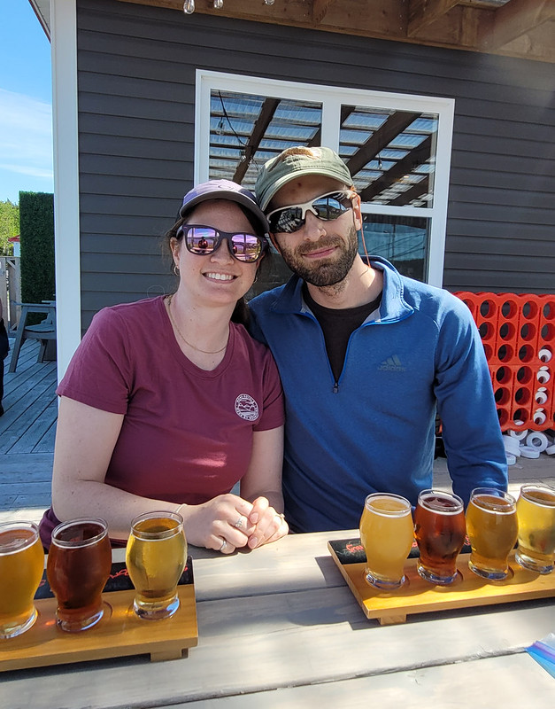
We concluded our day with a visit to Baccalieu Trail Brewing Co. in Bay Roberts to sample some of their beer and “legendary” cod chowder. The sun returned while we sipped our beers on the patio and we congratulated ourselves on a very successful day. Chance Cove Coastal Trail definitely lives up to the hype and I would recommend it to pretty much anyone. Use caution if climbing down to the beach, but otherwise it’s a fairly easy hike that’s great for beginners! We had a great time.