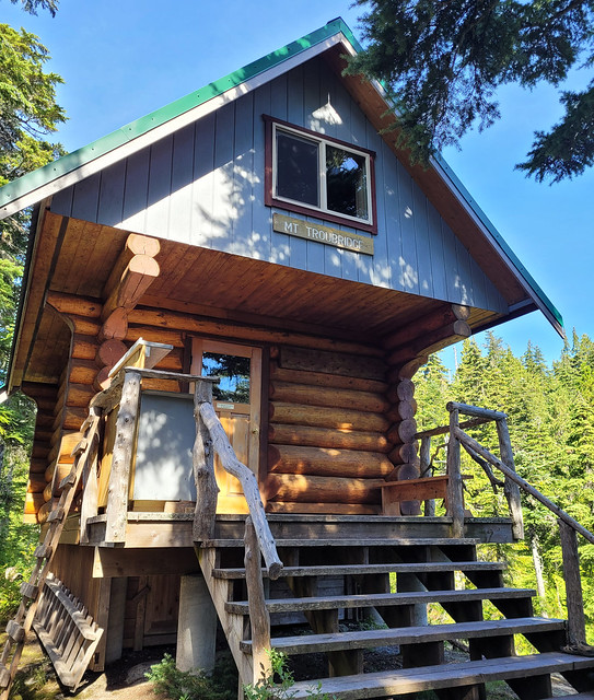
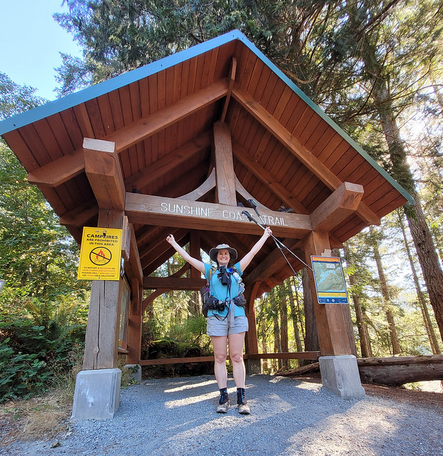
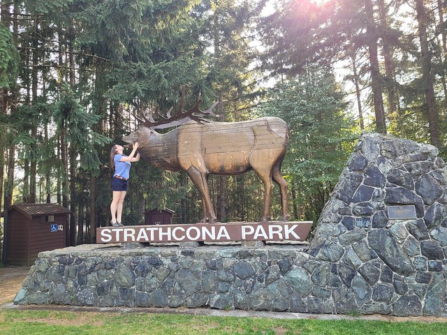
Well, after my 8 post series on the Sunshine Coast Trail, I needed a little break, but now it’s time to catch up on the week I spent in Strathcona Provincial Park immediately after.
It’s unreal how many provincial parks we have in BC. Me and Brandon were all booked to hike the Skyline Trail in Jasper National Park in early September, but then 3 days before the trip we got an email from Parks Canada asking us not to come because of the wildfires. Technically our trail wasn’t closed, but the entire town of Jasper was without power and Parks Canada was encouraging people to cancel, so we listened and made other plans.
We floated around a lot of ideas for where to go instead, but we had so little time in which to execute the trip that a lot of them were quickly ruled out. Brandon suggested Strathcona Provincial Park, which has been on his bucket list for a long time, and it sounded like the perfect place to do a mix of front and backcountry camping with limited preparations. It was the second week of September, so fortunately the crowds were gone and we didn’t have to worry about reservations. We hoped on the ferry on Sunday morning to spend a week exploring the park!
First off, Strathcona Provincial Park is huge! There are other large provincial parks nearby, like Garibaldi, but Strathcona is largely accessible by car, so it gave us a lot of National Park vibes as we were driving through, though you can tell it receives much less funding than a National Park. It’s not so far from Vancouver that you couldn’t visit over a long weekend, but the size definitely warrants a longer trip. What makes it tricky is that it has multiple entrances and they are all very far away from each other. For example, there are some great trails that can be accessed through Mount Washington and Courtney, but we opted to skip these to focus on the core park area, which is closer to Gold River and a bit of a further drive.
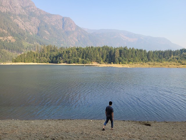
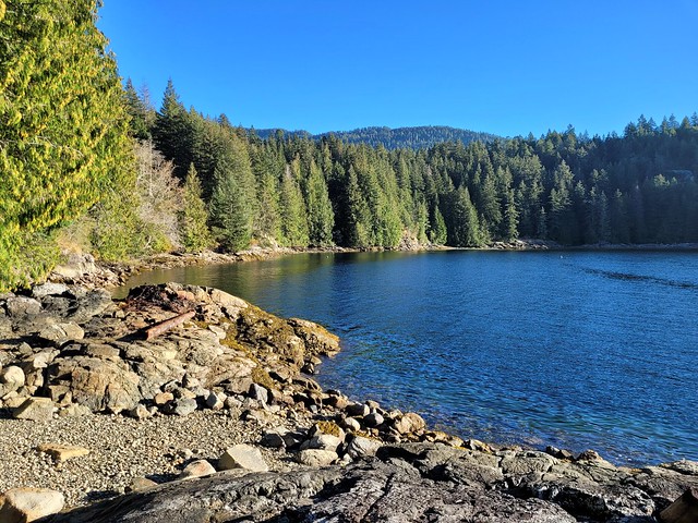
The core area of the park is centralized around Buttle Lake, which extends from tip to toe of the park. There are tons of backcountry campsites, but only 2 frontcountry campgrounds, both located on the lake. The Buttle Lake Campground is at the top of the lake, while the Ralph River Campground is down closer to the bottom. We opted to start at Buttle Lake and spent our first night exploring around the lake. It was a bit smoky when we arrived and the water level of the lake was really low. We went for a walk from our campsite and were able to walk right on to Rainbow Island due to the low water level. There’s a marine backcountry site located on Rainbow Island and I’m now keen to return to Buttle Lake with my kayak because there are several marine sites located along the opposite shore of the lake that would be fun to explore!
Since there’s so much to do, we only spent one night at Buttle Lake before making an overnight trek up to Landslide Lake, which is one of Vancouver Islands most popular backcountry hikes! Landslide Lake is a 20km trek on the northwest side of the park that is best done over 1-2 nights. We opted for 1 night and day hiked from the campsite up to Landslide and Foster Lakes. There’s a lot to talk about between those 2 lakes, so I’m going to write a whole separate post about that hike!

After we finished the Landslide Lake hike, we decided to make a quick stop into Gold River to get lunch. It’s a tiny little town, but it has a lot of great eco tourism! It’s the launching spot if you’re doing the Nootka Trail, as well as if you’re doing any paddling around the coast. It has fishing and some great little tourist attractions if you’re just there for the day. We stopped into a little cafe for lunch and our waitress gave us a hot tip to check out the Heber River, which has the most beautiful little swimming hole! The water is vibrant blue and super clear, but boy is it cold! We both went for a dip, but it was a quick one!

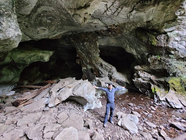
After our swim we got another hot tip when we were stocking up at the liquor store about an easily accessible cave system. About 20 mins west of Gold River, there’s a small Rec Site called Upana Caves. It’s a network of caves with 4 that are easily accessible after only 10 minutes of walking – just make sure to bring your headlamp! I’m a bit of a chicken when it comes to caving, but Brandon convinced me to go into a few and we ended up spending an hour crawling around. Our favourite was the last cave in the system, Resurgence Cave, which has a little river flowing through it and is pretty scenic. A bit of a different activity for us, but well worth the detour!
Once we headed back into the park, we went on a bit of a tourist circuit of the easily accessible trails. There’s a ton of waterfalls in the park, most of which are located right off the highway. We stopped into Lady Falls, Lupin Falls, and Lower and Upper Myra Falls. Lower Myra Falls is definitely the shining gem of the park, so if you can’t get to them all, make sure you visit that one. You can swim in the falls, though it’s very cold. If you’re more adventurous, you can climb down from the falls to the bottom end of Myra Lake, which is a much nicer place to swim. Brandon and I had a proper bath here since we were in the park for a full week and neither of the campgrounds have showers.

Since Lower Myra Falls is located at the bottom of the park, we opted to stay at the Ralph River Campground for 2 nights. Some of the sites appear to be “lakefront” which had us excited, but because the water level was so low, it was much more of a swamp then we were anticipating. We lugged all our gear out to the “beach” one night to cook, which was still nice, but I wouldn’t recommend it as a good place for swimming! In our case it started raining on us in the middle of our meal, but we were troopers and stuck it out anyways.

The very end of the park is interesting because there’s actually an active mine right in the park! So a small part of the park is designated as “Strathcona-Westin Provincial Park”, which is basically just the extents of the mine. From what I understand, the mine already existed when they formed the park, so they let it continue operating. You actually have to drive right through it to get to some of the trailheads, including for Upper Myra Falls, so it’s an interesting experience!
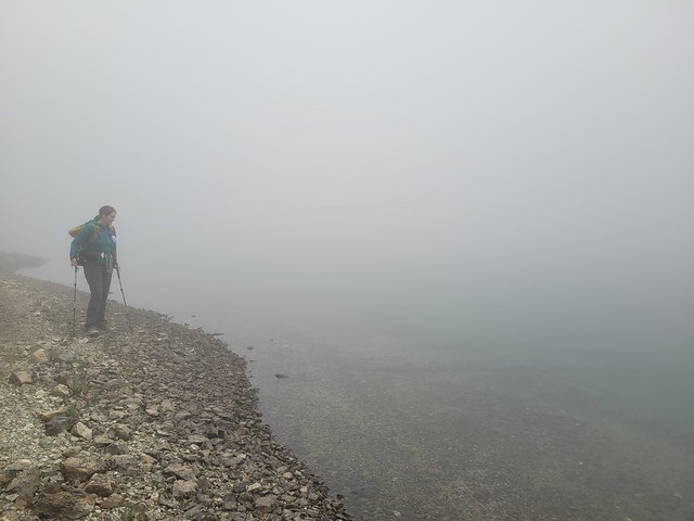
We decided to finish the trip with a second overnight hike up to Bedwell Lake. It’s also a very popular hike and our plan was to do both Bedwell and Cream Lakes. Unfortunately, the weather didn’t really co-operate with us for this hike. It was really nice when we started, but it got foggier and foggier the closer we got to the lake. After talking to some other people, it sounds like most of the park was clear that day, but a bunch of clouds got hung up in our area and unfortunately, we couldn’t see a thing. But I’m also going to do a full post about Bedwell Lakes, because it was still an eventful trip, even with the odd weather.
We had planned to do one more hike in the park via Courtney on the way home, called Century Sam, but we got notice on the way to Courtney that the gate to the trailhead was closed. The road to the trail is on private property, so you are at the mercy of the property owners if you choose to visit that trail. There is no service anywhere in Strathcona Park, so be prepared for that when you visit.
The salmon were just starting to run when we were leaving the park, so we stopped along the river on our way out to watch people fishing and then hightailed it to the ferry when we heard Century Sam was closed. We ended up having a bit of a wait for the ferry, but were able to make it home the same night. So overall, I really liked Strathcona and I don’t think it’s a place I would likely have planned to visit without such an opportunity. That said, I left the park with even more trails on my bucket list then when I entered!