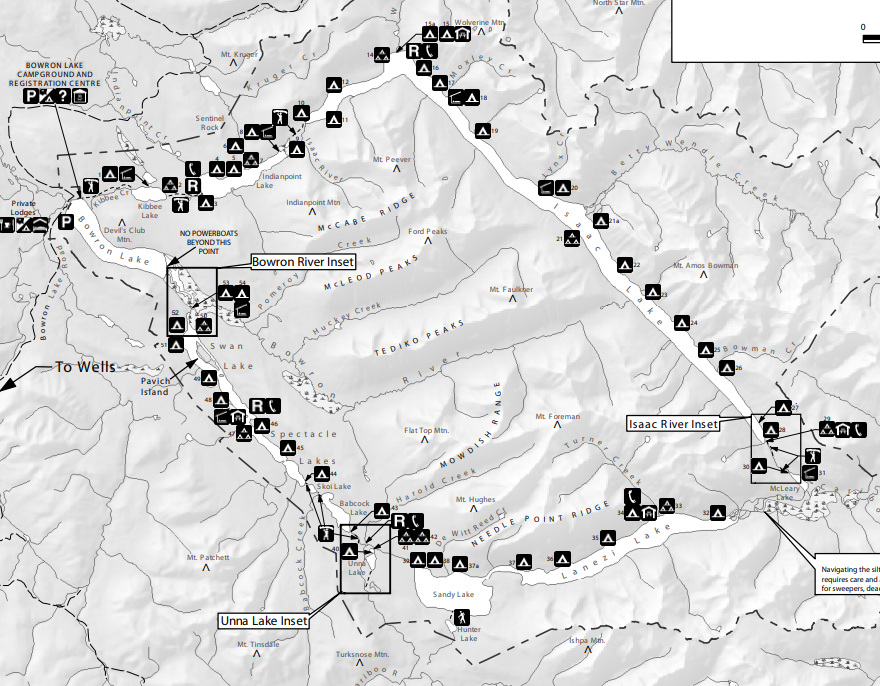
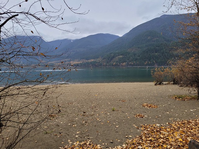
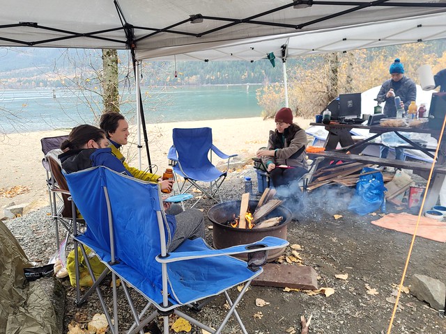
By Day 4, I felt that we got into a good routine. This was my first time doing an extended thru-hike with Adriana and I’m pleased to say that we along really well. As much as I love my friends, I wouldn’t attempt a 7-day hike with some of them, but I thought Adriana and I were pretty compatible and made a great team.
We’d were lucky with the weather the first four days, but we got a weather report from my inreach that rain was coming on Day 5. While most of BC is dry in the summer, Vancouver Island often experiences a wetter climate along the coast. It was inevitable that we would have to deal with rain at some point during the trip.
We were heading into the more challenging half of the trail and I learned on the North Coast Trail not to rush the more technical parts. We planned for a relaxed itinerary on the rest of the trip, averaging ~10km a day. With rain in the forecast, we briefly discussed trying to double up Day 4, but ultimately decided not to. It was the right choice. Otherwise the rain would have aligned with our day hiking to Owen Point, which is not recommended during wet weather as the rocks can become slippery and dangerous.


Keeping to our original plan, we had to hike 11km to Walbran (though we tracked 12.5km on my GPS). We started the day with a relaxing beach walk along the hard-packed sand, while observing the sea lions hanging out on the rocks offshore. It was overcast in the morning, which made for a comfortable hiking temperature. There’s a short forest section at the end of the beach, which routes you around Carmanah Lighthouse. It’s worth mentioning that there are two lighthouses on the trail (the other is at Pachena Point, near Sea Lion Rock on the north end of the trail), but they are no longer accessible to hikers.
After routing around the lighthouse, the trail drops down to Carmanah Beach and we spent most of the day hiking along the beach. Carmanah was another of my favourite beaches. It’s a long, sweeping, golden sand beach, with a fabulous view of the lighthouse. There’s an old burger shack located at the start of the beach, but I’m not sure if it’s been operating recently. I didn’t see it mentioned in any recent trail reports online and it was closed when we passed (which was good because we didn’t have any cash left after the crab shack!).
Carmanah Beach is very long and there’s a campsite located on the southern end. It’s really nice and I think it’s a great alternative for those who don’t want to camp at crowded Tsusiat Falls. There’s a river with a cable car separating the campsite from the rest of the beach. The river was very low when we arrived, so we opted to ford it rather than use the cable car (which is very tiring with only two people). This was the right choice and I later learned that the cable car was actually broken. Parks Canada fixed it in late July when was significant flooding that rendered the river impassable.


We decided to have lunch on the other side of the river and enjoyed having such a beautifully remote beach all to ourselves. There is a long tidal section around Bonilla Point with no re-route through the forest, but I believe this section is only impassible during particularly high tides. The tide didn’t conflict with our route during the day, so we were able to take our time hiking along several kilometres of coastline. The scenery was a real mix in this section. We encountered more golden sand beaches, sea stacks, rocky shelfs with tidepools, and more frustratingly, a loose pebble beach.
The pebble beach was the worst because the rock wasn’t fine enough to be compressible. It is tiring walking on sand, but if you walk along the shore where it’s compressed, it’s not too bad. The pebble beach heading towards Vancouver Point was some of the worst walking on the trail. The beach itself is pretty steep, so you’re always walking on an angle. Pair that with your ankles constantly slipping in loose rock makes for a pretty unenjoyable walk. I injured my meniscus back in January and I’ve been having knee problems ever since. I was worried about how my knee would do on the trail, but it ended up holding up really well, except for this section, which was very tiring.
We decided to take a break before reaching Vancouver Point, which was our last milestone for the day before Walbran Campsite. It’s not possible to swim in the ocean along most of the trail because the surf is too aggressive. However, there was a calm section between Bonilla Point and Vancouver Point and I was keen to sneak in a little ocean swim. There was no one around, so I opted to skinny dip while Adriana had a snack break. Unfortunately, I realized AFTER my swim, that there was actually a group of four men eating their lunch along the treeline who were afforded a very nice show. They were hiking in the opposite direction, so I was spared from having to face them at camp later. Oh well!


There is one tricky part between Vancouver Point and Walbran. When the tide and the river flows are low, it is possible to ford the river at Walbran. From what I understand, this is never a sure thing because even if the tide is low, sometimes the river is still too high. If you’re hiking northbound, you don’t need to worry about it because you can assess from the campsite, but if you’re hiking southbound and find the river impassable, you’ll be forced to backtrack several kilometres and take the forest re-route from Vancouver Point.
As a result, southbound hikers always ask northbound hikers for intel on the river when passing one another. We heard that the river was passable and most of the other southbound hikers left early to avoid the forest re-route. It was too late for us by the time we reached Vancouver Point, but neither of us was sorry to leave the pebble beach behind and even though we had to climb a bunch of ladders on the re-route, my knees greatly appreciated the change of pace.
Honestly, I think the West Coast Trail was one of the best trails I could have done for my particular injury. Parks Canada advises against doing the trail if you have any pre-existing knee issues, but I found the variety in the terrain much better than traditional alpine hiking. I was constantly going up and down all day, switching from all kinds of trail conditions. Admittedly, the ladders were hard on my knee at first, but I could feel myself getting stronger each day. I think the repetitiveness of going up or down a mountain for hours at a time would have been much more tiring.


The forest re-route was a bit muddy and some of the ladders weren’t in great shape, but neither of us minded the change. However, we could have done without the final cable car. If you ford the river, you get to skip this crossing, which is particularly long. There was no one to help us this time, so we had to pull the car across the river and cross one at a time. It took a long time and we were both sweating by the end.
Once we got across, we were at camp! Walbran is a neat site in that it’s located along a deep river pool with several caves on the opposite shore. We immediately went for a swim, which was cold, but refreshing. The campsite seemed less busy than the previous two nights, but it was also much smaller. There were still several forest sites available, but everyone wants to sleep on the beach. Even though we were some of the last to arrive, I think we got one of the best sites! It was located further down the beach and it had a little pit sunk down between the giant pieces of driftwood. With rain on the way, it was important to us to set up a proper tarp shelter this time. It took a while, but it was one of my best tarp jobs!
We arrived around 4pm, which gave us more time to relax. We figured it might be our last chance for a campfire, so we collected driftwood to burn. I was successful with the single match challenge again, but it was quite windy and I struggled to keep it going. It started to drizzle later in the evening, so the fire was short-lived and we went to bed early. We only had to hike 9km from Walbran to Camper Bay the following day.


It started raining as soon as we got up. It wasn’t heavy rain, so we were able to shelter under our tarp and enjoy breakfast. The guys on the same itinerary joined us and we got to know them a little better. It was a group of two dads and their two teenage sons. The kids liked to sleep in, so they often left shortly after us, but would inevitably pass us later in the day.
We packed up our bags and took down the tent, leaving the tarp for last. We were in full rain gear and ready to leave as soon as we packed the tarp. Unfortunately, it was at that moment that I realized my inreach was missing. I’d been using it at breakfast and misplaced it. It sucked because I had to take everything out of my bag to look for it (this time without the tarp shelter), while Adriana scanned the surrounding area. We couldn’t find it and were about to give up when I found it hanging loose in the bottom of my pack cover. I’m glad I found it, because I’m sure it would have fallen out and been lost otherwise.
With that, we started our hike. Despite the rain, we were in pretty good spirits. The terrain between Walbran and Camper Bay is some of the most technical terrain on the trail and is the most concentrated ladder section, but we would be in the forest all day and we figured that was better on a rainy day. We had our rain clothes and we were still dry and warm. We marveled at how evolved we were to be happy hiking in the rain. A bit of rain never hurt anyone and we wouldn’t let it ruin our day.


Needless to say, that attitude didn’t last long. Turns out, your good spirits only last as long as your waterproofs. It’s easy to feel optimistic when your feet are dry and you’re not soaked through to your underwear. Our gear held out for awhile, but all rain gear fails at some point. The trail didn’t feel too technical when we started, but the further we hiked and the more it rained, the more challenging it became. Mud pits turned to mud pools, the number of downed trees increased, and the once helpful boardwalks deteriorated to become more of a hinderance more than a help.
The increasing obstacles slowed our pace to the point that we averaged only 1.5km an hour, and that was basically without breaks. There was no where to stop where it wasn’t raining and every time we breaked for a pee or snacks, we’d immediately get cold. It wasn’t a particularly cool day, but when you’re soaked, you get cold fast. We ended up taking only two 5-minute breaks and one 10-minute break the entire day.
The trail felt like it went on through the forest with no end in sight. There’s one natural break point at Cullite Creek, which is the only other campsite between Walbran and Camper Bay. There were ~30 ladders along our route and the majority were going in and out of Cullite Creek. We had to descend some seriously steep ladders to get down to the creek, just to ascend more ladders on the other side. There’s a cable car across the creek at the bottom and the last ladder before it was particularly long and scary.


Despite the rain, the river was fairly low. It was a short crossing, so we were able to avoid the cable car and ford the river. From the other side, you can walk a couple hundred metres down to the beach. Our original plan was to have lunch at Cullite, but in order to enjoy it, we would have to set up the tarp and get into dry clothes. It seemed like a lot of effort, not to mention additional distance to the beach, so we opted to power through. Given what came later, I’m not sure if this was a good or bad decision. Instead, we took our single 10 minute break at the top of the ladders for lunch.
Our day got steadily worse from there. After taking the two photos above, I put my phone in my pack to keep it dry, so the rest of the photos in this post are from other days, try and imagine it much wetter. Adriana kept remarking how cold she was every time we stopped and our spirits were quite low. There’s one particularly challenging spot that seemed like a never-ending mud pond. People try to avoid the mud by routing around the obstacles, but overtime, those paths because eroded and muddy as well. This is a classic example of why LNT is important. The result of so many people avoiding the mud over many years leaves a confusing trail filled with mud pits and unlimited options for how to navigate the obstacles. It was easy to get turned around with so many criss-crossing trails and on more than one occasion, we had to stop and re-orient ourselves. We felt like we were going in circles and were legitimately concerned we were going backwards.
On one fallen log obstacle, Adriana tripped and fell, bending her hiking pole in the process. All I heard was her curse of frustration. If you’ve ever done a trail like this, you’ll understand how essential hiking poles are for stability. Before I had time to react, Adriana smashed her pole against the tree trunk in an attempt to straighten it, but ended up cracking it completely in half instead. This one moment of aggression appeared to be an adequate outlet for her frustration, because instead of getting more angry, she looked at me sullenly and said, “now I’m making mistakes.”


I reassured her we’d find a substitute stick and took the broken pole to attach it to the back of her pack. It was at this moment that my stomach dropped because I realized that our tarp was no longer attached to her pack. She’d carried it there all week without issue, but of course we would lose it on the only rainy day of the trip. I remembered seeing it during our lunch break, but neither of us had any idea when it might have fallen off.
Adriana was so tired and cold that she didn’t want to go back to look for it, which to be fair, it could have been an hour back. I couldn’t give up so easily when it was such an important piece of gear for the existing conditions. We would be so thankful to have it later and with no one coming behind us that might pick it up, we decided that I would hike back for 10 minutes to see if I could find it, after which, we would have to abandon it.
This was the second decision making point where I’m not sure if this was the right decision or not. I sloshed my way back through the mud in frustration for ~7 minutes and then, as if a light from heaven was shining on it, I saw my yellow tarp lying in the middle of the path, half submerged in mud. I let out a shout of triumph and it gave me the energy boost I needed to get through the rest of the day. I was still soaking wet and miserable, but we had shelter, so I figured it would be okay.
The issue was that during the time I was gone, my body was getting warm from adrenaline while Adriana was standing still and getting cold. She was happy I’d found the tarp, but didn’t seem to share in my elation. We kept hiking and she was quiet for the rest of the trail. I tried to engage her in conversation, but her pace slowed as the day dragged on. By the time we finally reached Camper Bay, 7.5 hours had passed. That is a very long time to be hiking without break in the rain.


This was the only campground where we opted for a forested site. Honestly, I was surprised that it was still available as we were, again, the last people to arrive at camp. It was basically just a small cut out in the forest along the river, not quite big enough for the tent and tarp, but we made it work. My brain was running full circuit at this point, “tarp, tent, dry clothes”. We couldn’t get dry until we had shelter, so I needed to set up the tarp followed by the tent. To be honest, I didn’t even feel the cold because I was so focused on those 3 items.
As had become our routine, I immediately started working on the tarp. Adriana seemed lost and as much as she tried to help me, she kind of just got in the way. I remember thinking, “Adriana is not great in a crisis, but oh well, keep going.” I got the tarp up and started working on the tent. Usually she would set up the tent, but it became evident that she was struggling. I passed her half of the ground sheet as I unfolded it, expecting her to spread it over the ground, but she just stood there staring at it. I had to tell her 3 times before she dropped it. Then I spread out the tent and passed her a pole to thread through the grommet and again, she fumbled with it, seemingly unable to process the task.
It was at that point that I realized she was having her own emergency. After complaining about the cold all day, she had not mentioned it since arriving at camp. She did not look visibly cold, but I realized she was probably hypothermic and needed to get warm quick. But I couldn’t help her without shelter, so I set up the tent as fast as possible and then basically made her strip naked to get inside. She seemed able to follow direct instruction, even if her brain wasn’t quite processing.
She did as I said and I started passing everything from her backpack into the tent, instructing her to put on dry clothes, blow up her sleeping pad, and get in her sleeping bag. Once we accomplished that, I stood under the tarp alone, unsure of what to do. I needed to get out of my wet clothes too and we didn’t want anything wet inside the tent, so I kind of piled up all our rain clothes on the ground and followed Adriana into the tent.


I changed into dry clothes and Adriana became more coherent as she warmed up. I gave her some trail mix, deciding that helping her get energy was more important than worrying about a bear wandering through camp. I set up my stove to boil water under the tarp and made Adriana tea and supper. Once she drank and ate, she properly came back to life and I was able to relax again.
When I hiked Mount Assiniboine in 2021, I had to do first aid for a hiker with heat stroke who ended up being airlifted to Banff hospital by Search and Rescue. It was a relief that Adriana didn’t need medical intervention. I’m so glad she wasn’t so hypothermic that she couldn’t recover on her own. We talked about the experience while eating supper and she said it was very scary because while she could see and hear everything I was doing and saying, but felt unable to act or process. It’s a good reminder that even in the summer, it’s very easy to have a cold-related emergency.
Once it was clear she would recover, we had a good laugh about it from Adriana’s perspective. I didn’t explain anything I was telling her to do, so from her point of view, I was the one acting crazy. Demanding she get into the tent naked and then passing everything from her bag into the tent. I didn’t want to put anything on the wet ground, so I gave her everything, but at the time, she was confused as to why I was giving her random things like her power bank or her toilet paper. She kept saying “thank you”, like everything I gave her was a god-send and we had a good laugh when I told her that I was relieved when I realized that she was having a medical emergency and was not just stupid.
So what could we have done differently? I think that our choice to skip Cullite was probably the right choice. I think if we’d stopped to set up the tarp and change we may have just gotten colder and wetter. All our gear was still dry when we arrived at Camper Bay and it was good that we didn’t expose it unnecessarily to the rain. But Adriana admitted that she didn’t eat or drink a lot that day and that it probably contributed to her low energy. We both drank electrolytes for lunch every other day and we didn’t do that in the rain. I also think it would have been better if she’d gone with me to look for the tarp. Admittedly, I was faster without her, but I think the length of time she was forced to wait was probably the tipping point that sent her into hypothermia.
We had lots of learnings and I think we were both appreciative to have one another. It’s scary to think if she’d been on her own, would she have had the capacity to get warm and dry as quickly, or to make sure she ate and drank? I think she would have gone straight to bed and I was worried about her doing that without food or water. In any case, she was completely fine in the end, but we both left the experience with a better awareness.
Tune back in next week for my final post on our last two days on the trail!