10 Paddling Trips near Vancouver

A few weeks ago I shared a list of 10 Easy Day Paddles near Vancouver. In keeping with the paddling theme, I’d like to highlight 10 Paddling Trips near Vancouver! We’re lucky to have easy access to excellent paddling routes in Southwest BC and these are a few of my favourite overnight and multi-day trips. Please be aware that overnight tripping does add complexity to the activity and you should make sure that your skills and experience match that complexity. I highly recommend taking a paddling course from Paddle Canada before attempting any of these trips as you want to ensure you know how to self-rescue and are familiar with the basic paddle strokes. Despite canoeing being very popular in Canada, I do think it is more challenging than kayaking.
Twin Islands

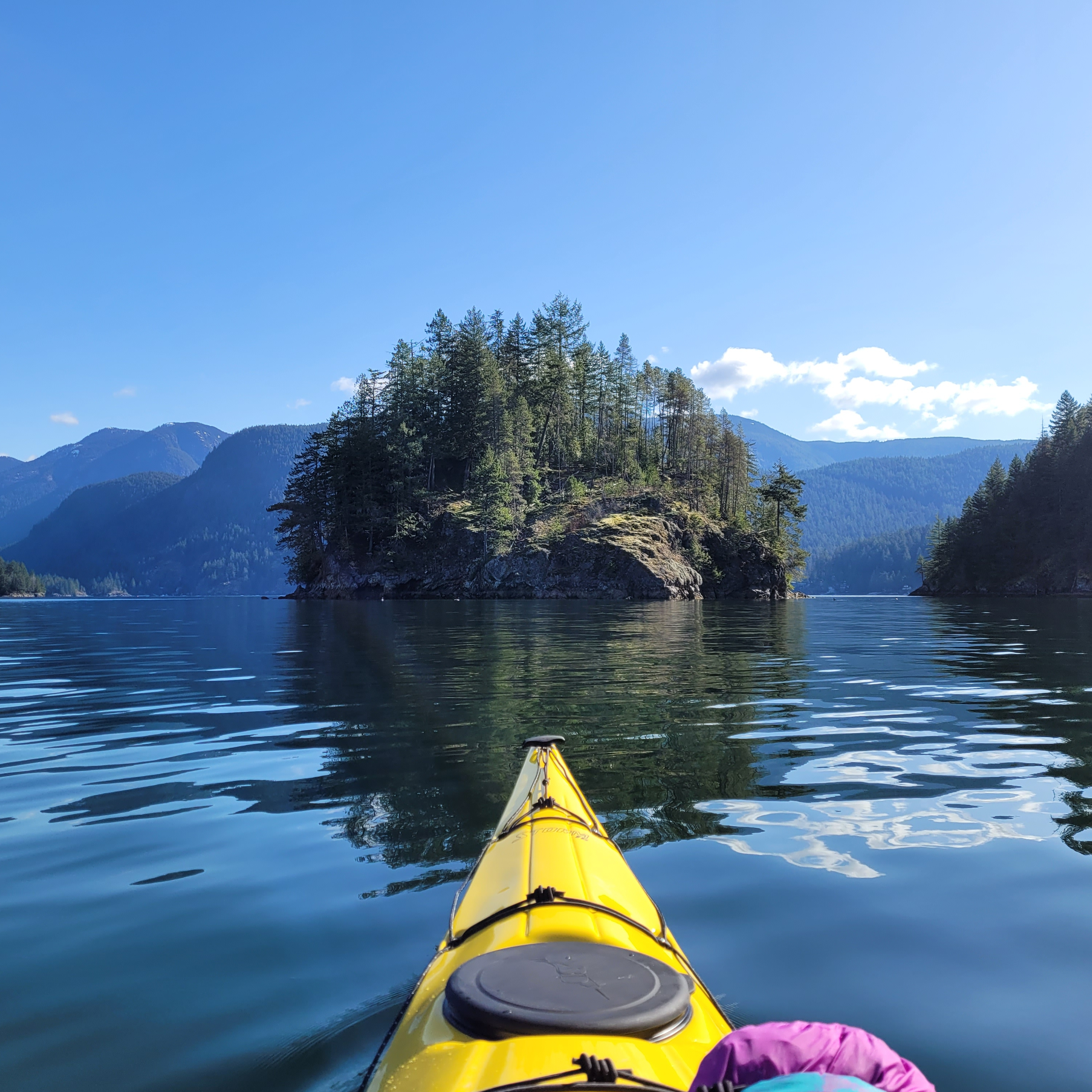
A kayaker paddles towards Jug Island on a sunny day with calm waters in Indian Arm. Jug Island is located near Belcarra Regional Park in Vancouver, BC.

Twin Islands also made my list of day trips and it’s a popular overnight location for a reason. It’s only a 5km paddle from Deep Cove to Twin Islands and there are several tent pads located on the north island (camping is not permitted on the south island). While you can access Twin Islands from either Belcarra or Deep Cove, there is no overnight parking at Belcarra. Kayak rentals are available from Deep Cove and Cates Park and there is no overnight camping fee. Due to the proximity to the lower mainland, this campsite can get extremely busy. If you’re going on a weekend, I recommend leaving early, or avoid altogether by going on a week day. There is an outhouse on the island and please make sure to back out all your garbage and be respectful of other paddlers.
Granite Falls

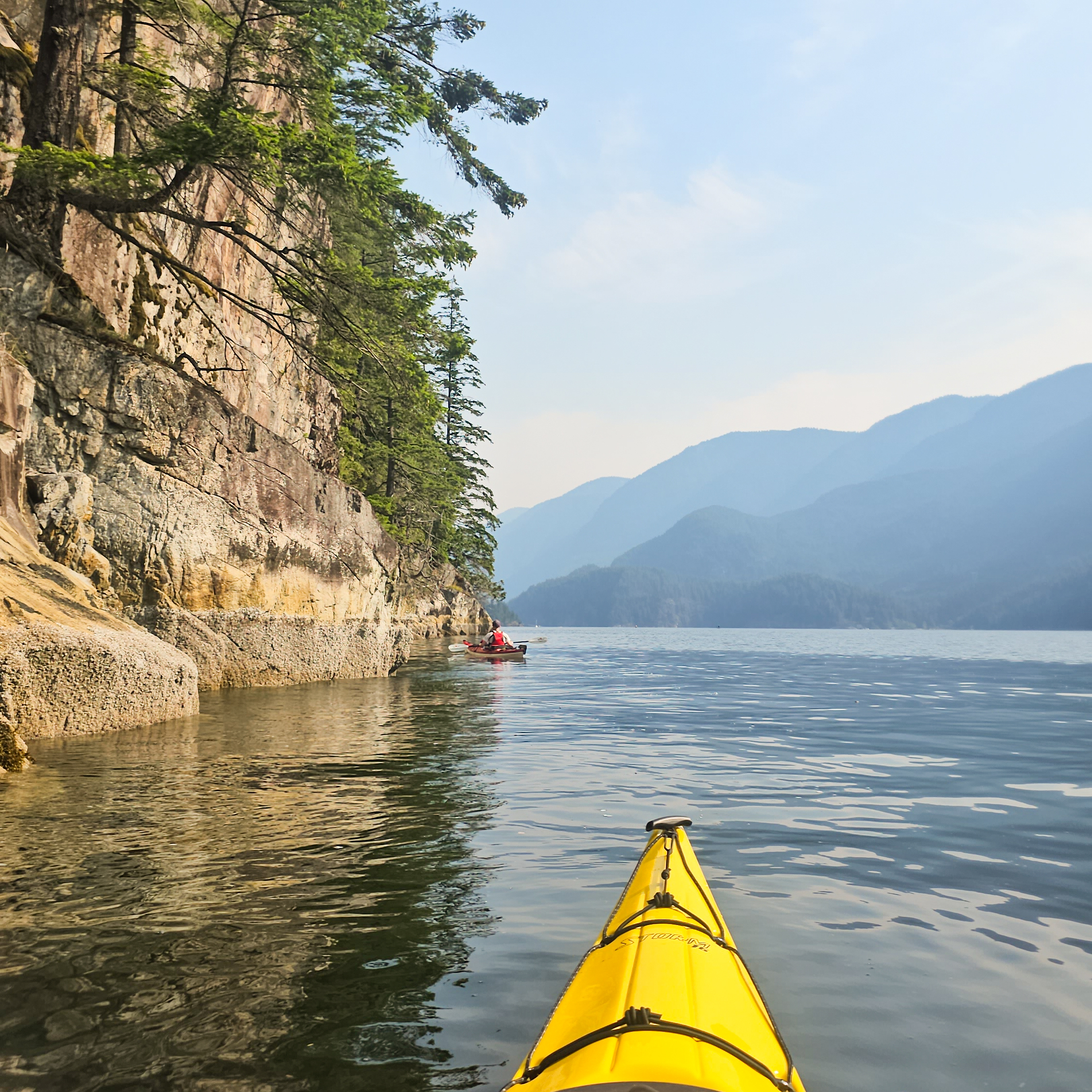
Two kayakers paddle up the still waters of Indian Arm, with the mountains in the background and a steep cliff extending into the water near Vancouver, BC.

If you want a more ambitious trip than Twin Islands, continue north up Indian Arm to Bishop Creek or Granite Falls, where there are two more free campsites. Bishop Creek is approximately 14km from Deep Cove, while Granite Falls is 18km. Granite Falls is beautiful, with a large cascading waterfall, but it’s extremely popular among both paddlers and power boaters. I think this is a great trip, but honestly, the atmosphere on a busy weekend is not great. It attracts more of a party scene, meaning that it’s very crowded, noisy, and very few people practice bear safety. There are outhouses and bear caches, but the caches are undersized for the amount of people that visit the site. I recommend doing this trip on a week day, or consider staying at Bishop Creek instead. Some people like to do this as a multi-night trip, staying at Twin Islands on the way there or back. Leave early to return to Deep Cove as the wind gets high in the afternoon. Kayak rentals are available from Deep Cove and Cates Park.
Widgeon Creek

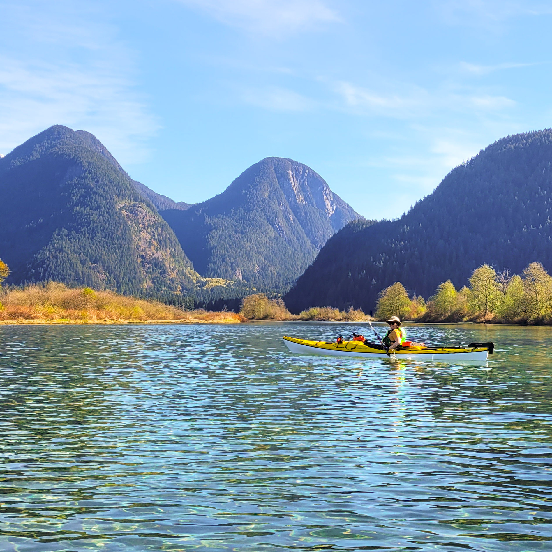
A woman in a yellow kayak paddles in crystal clear blue water on a sunny day with mountains in the background and a blue sky in Widgeon Creek by Widgeon Marsh in British Columbia, Canada.

Widgeon Creek is a very popular summer paddling destination in Pitt Meadows. It was also on my list of day trips and it is a great option for an overnight trip for beginners. Park at the main lot on Pitt Lake and paddle across the Pitt River to Widgeon Creek, which is a leisurely 6km paddle to the campsite. From there you can do a day hike to Widgeon Falls. This area is very busy in the summer, but head out in April or May to avoid the crowds. Be careful crossing the Pitt River, which can have strong currents, and leave early to avoid the wind. Flows in the creek can be very low later in the summer, meaning you may have to walk your boat in some sections, especially at low tide. You can rent boats from Katzie in the summer, or through independent operators that deliver the boats to the lot. There is a bear cache and outhouse at the campsite and there is no fee to camp, but you do have to pay for parking at Pitt Lake in the summer.
Pitt Lake

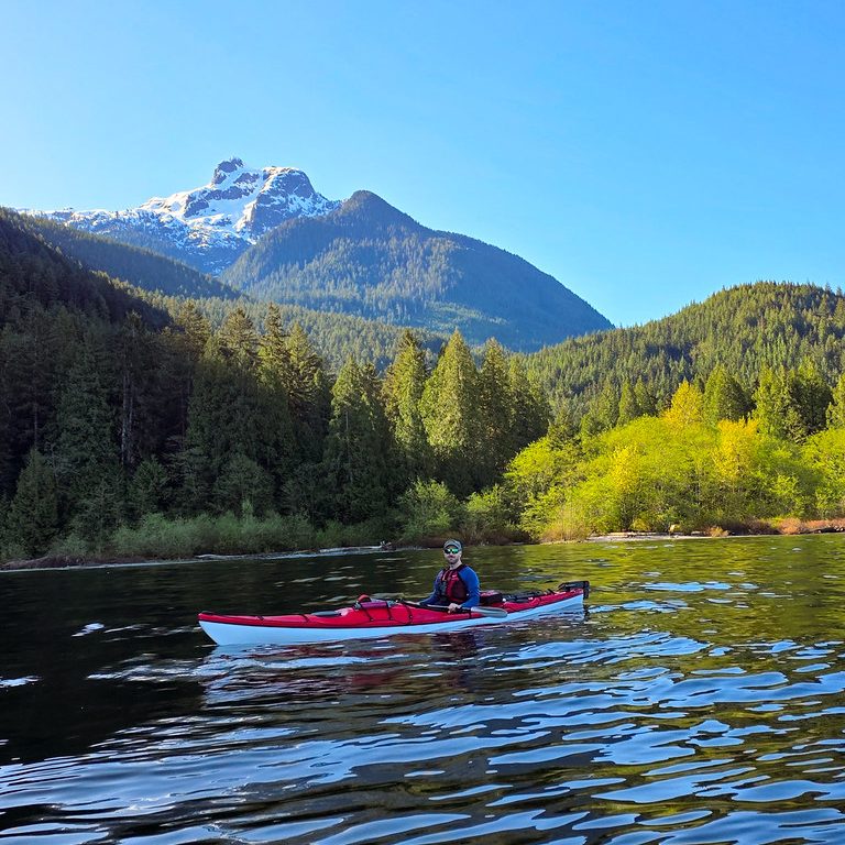
A kayaker paddles up Pitt Lake with Raven Creek Campsite and Golden Ears Peak in the background on a sunny day in Pitt Meadows, BC.

Pitt Lake is located in Pitt Meadows and is a trip I recommend for slightly more experienced paddlers, only because it can get very windy on the lake. There are two BC Parks campsites located on the east side of the lake, in Golden Ears Park. Raven Campground is located approximately 9km from the boat launch and Osprey Campground is another 8km from Raven. Paddle to the far east side of the lake along the dike before following the coastline up to the campsite. There are some shallow areas along the edge of the lake that may require you to paddle out into the lake to avoid getting stuck in the mud flats. This is a tidally influenced lake, so make sure you set up camp above the high tide line. A permit is required to camp at these sites, it’s $5 per person, per night, from camping.bcparks.ca. There is an outhouse, but no bear cache.
Alouette Lake

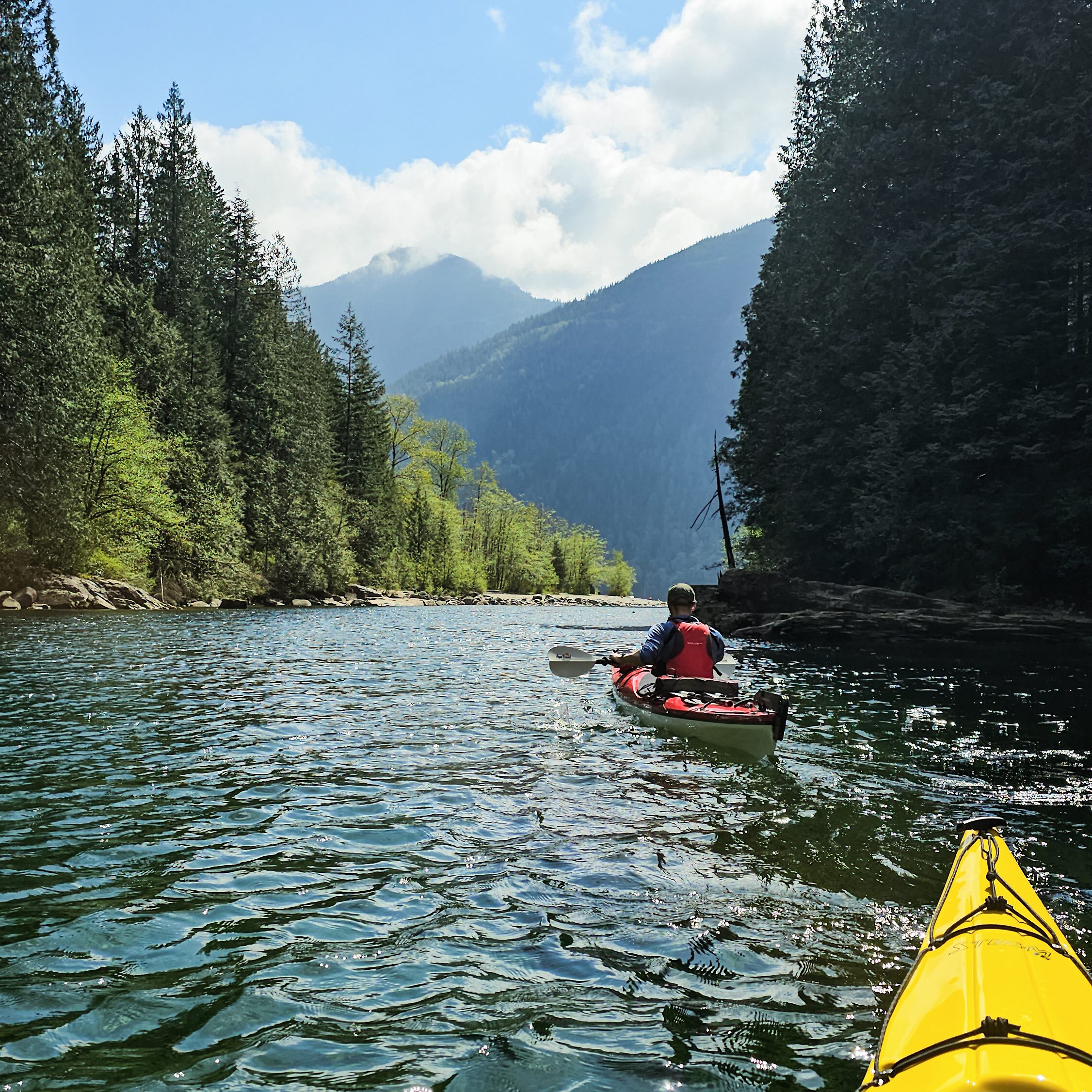
Two kayakers paddle up Gold Creek on a sunny day on Alouette Lake in Golden Ears Provincial Park. BC, with the forests and mountains in the background.

Alouette Lake in Golden Ears Park is a popular location for day trippers in the summer, with lots of people exploring Gold Creek. However, there are also 3 BC Parks campsites on this long lake, two are located approximately 10km from South Beach, Moyer Creek and The Narrows, and a third, Alouette River, is located at the far north end of the lake, another 8km from Moyer Creek. Similar to other lakes, Alouette can get very windy in the afternoon. A permit is required to camp at these sites, it’s $5 per person, per night, from camping.bcparks.ca. There is an outhouse and bear cache at Moyer Creek, I’m not sure about the other campsites. You can usually rent canoes from South Beach in the summer.

Plumper Cove

Two tents set up at the campsite on a sunny, blue sky day near the ocean at Plumper Cove Marine Park on Keats Island, BC.

Plumper Cove also made my list of day trips under the title of Keats Island. It’s the shortest paddle on this list and a great option for beginners because it’s only 3km from Gibsons. You can rent kayaks from Alpha Adventures at the marina and paddle across the channel to Keats Island, following the coastline north until you reach Plumper Cove Provincial Park. This park is primarily marine access and attracts a lot of power boaters. It’s a huge site with lots of space for camping. It is first-come-first-serve, and you’ll need to bring cash to pay the on-site ranger. Since there is a water crossing from Gibsons to Keats, pay close attention to the wind and do not attempt to cross if it is a windy day.
Sechelt Inlet

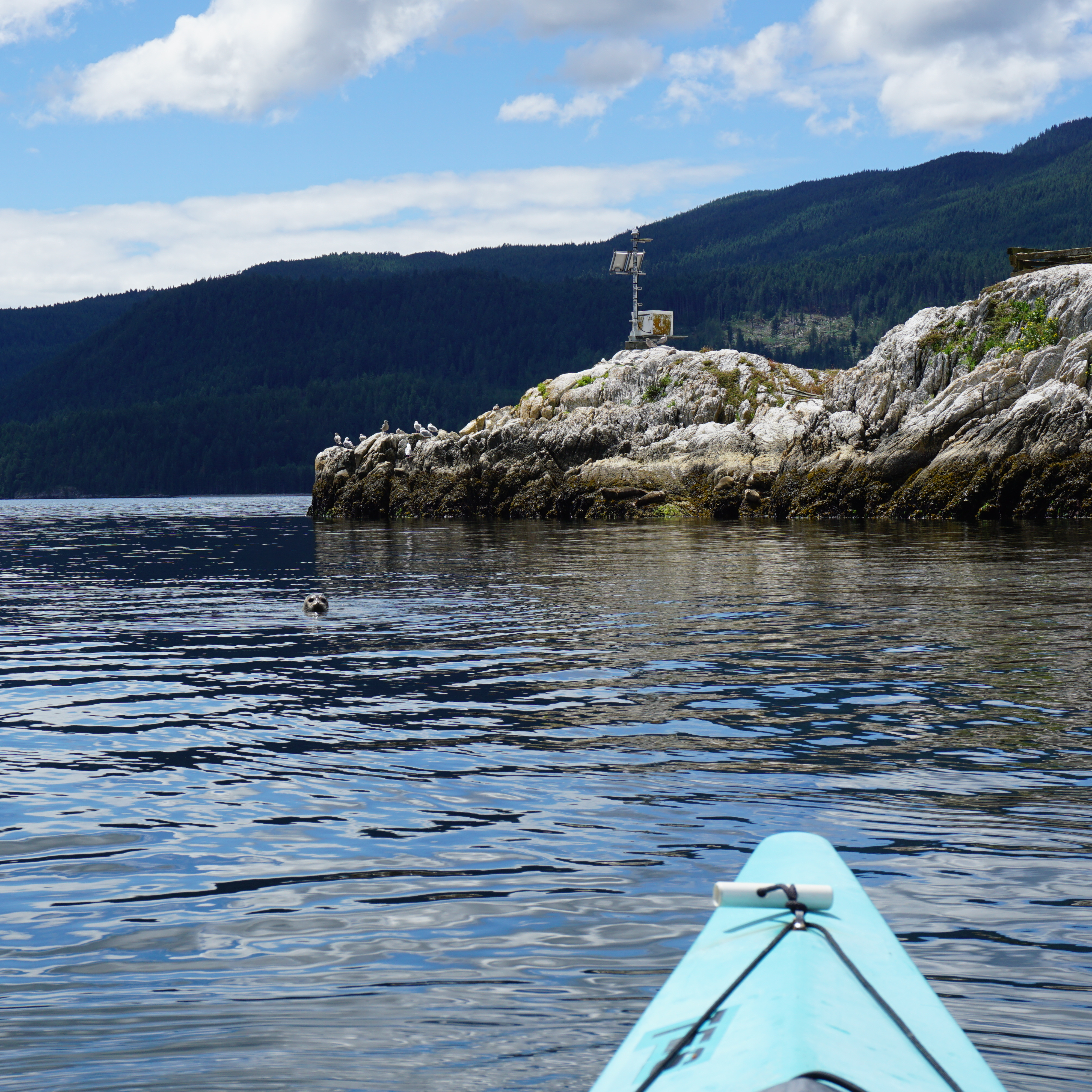
A photo of a seal looking at the camera from the water in Sechelt Inlet on a kayaking trip, with the water and mountains in the background on the Sunshine Coast in BC.

Sechelt Inlet is located just north of Sechelt on the Sunshine Coast. It’s a great option for multi-day trips and offers a more remote experience than some of the other trips on this list. There are more than a half dozen campsites located throughout the inlet, with some of my favourites at Nine Mile Beach, Kunechin Point, and Halfway Beach. The boat launch is located at Lamb’s Bay and you can rent boats from Pedals and Paddles. The campsites are all free and most of them have outhouses, though I’m not sure if they have bear caches. I recommend staying for at least two nights on this trip. As usual, beware of wind in the afternoon.

Gulf Islands

Two kayakers paddle on the Pacific Ocean in the Gulf Islands Marine Reserve National Park between Run Island and Sidney Spit on a sunny day with bright blue sky.

There are lots of options available for paddling in the Gulf Islands National Park Reserve, located just east of Vancouver Island (Salt Spring, Pender, Saturna, Mayne Island, etc). Plan your trip around where you want to visit. I’ve done trips out of both Pender Island and Sidney. Pender is a safe option because you don’t have to do any open water crossings, whereas some of the other sites require water crossings out of Sidney, which are more appropriate for experienced paddlers. There’s a great first-come-first-serve campsite at Rum Island and another at D’arcy Island. Beaumont Campground on Pender Island has closed, but you can still make reservations at Shingle Bay. In addition, there’s a frontcountry site at Sidney Spit. Some sites require reservations from reservation.pc.gc.ca, but the others are pay on site, so bring cash. You can rent boats from Blue Dog Kayaking in Sidney or Pender Island Adventures on Pender Island.

Copeland Islands

A female kayaker smiles at the camera from her yellow Boreal Storm kayak while the sun sets over the water and leaves a pink glow over everything in the Copeland Islands Provincial Park on the Sunshine Coast in British Columbia, Canada.

The Copeland Islands are located north of Powell River on the Sunshine Coast and can be accessed from Lund. There are several campsites located throughout the collection of islands and it’s approximately 10km from Lund to the North Campground. I believe the campsites can get pretty busy in the summer, but the water is super warm in this area, so it’s a great option to visit in May or September. It’s free to camp and there is an outhouse. This is a great 1-night trip, or you could extend it to paddle into Desolation Sound for a few more nights. I’m not aware of any boat rentals in Lund.
Desolation Sound

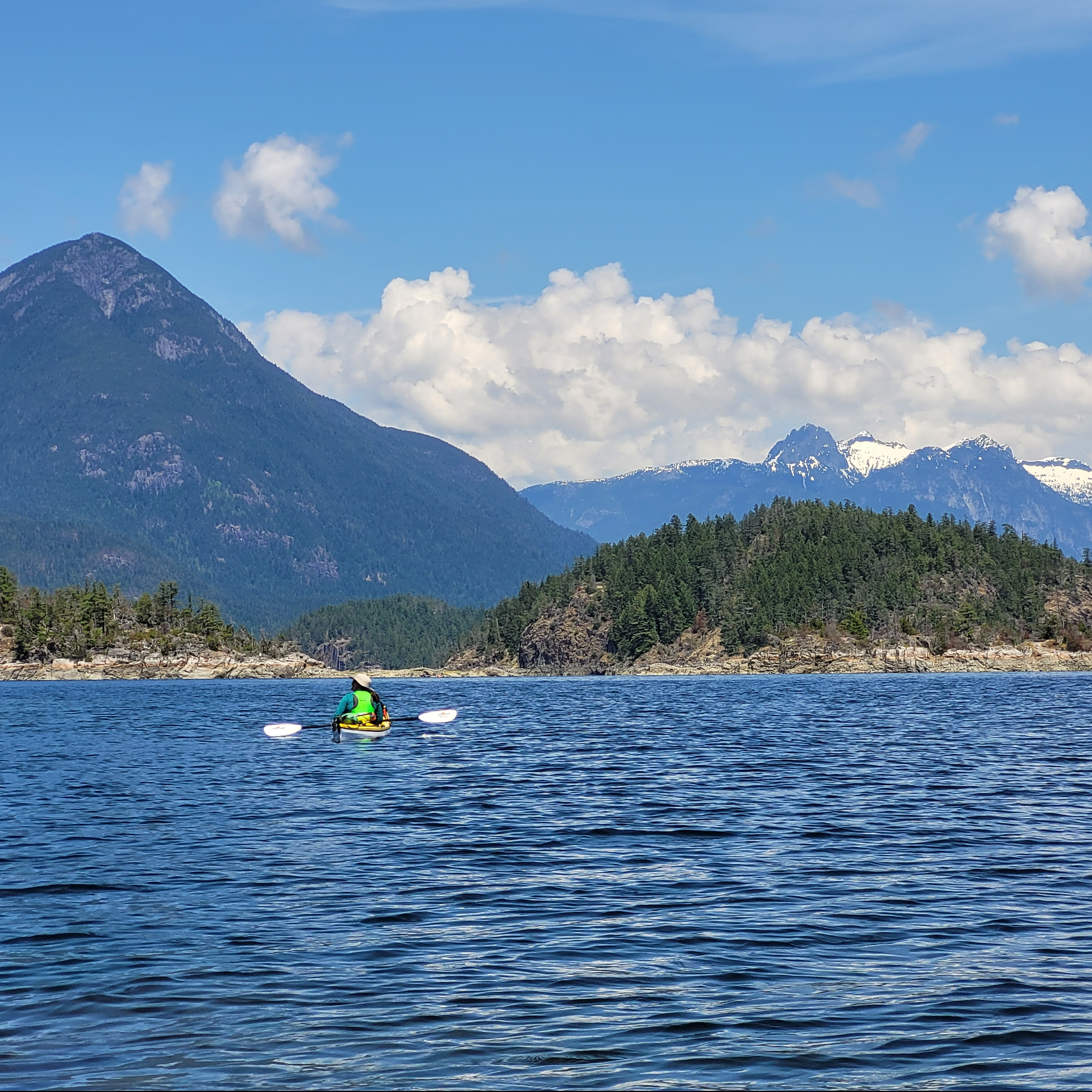
A female kayaker in a yellow kayak admires the view on the water with the mountains in the background in Desolation Sound Provincial Park on the Sunshine Coast in British Columbia, Canada.

Finally, Desolation Sound is a beautiful provincial park reserve north of Powell River on the Sunshine Coast. You can access it from either Lund (via the Copeland Islands) or Okeover Arm. It’s a large area that warrants at least a few days to properly explore. The most popular campsites are on the Curme Islands, but these can get very busy in the summer with both paddlers and power boaters, so the campsites at Bold Head and Tenedos Bay are good alternatives. You do have to do an open water crossing to access the Curme Islands, so it’s not recommended for beginners. There is no freshwater, so make sure you bring enough for your entire trip. Permits are required from camping.bcparks.ca and cost $5 per person, per night. All campgrounds have outhouses and some of the mainland sites have bear caches. You can rent boats from Powell River Sea Kayak near Okeover.
Kayaking Pender Island

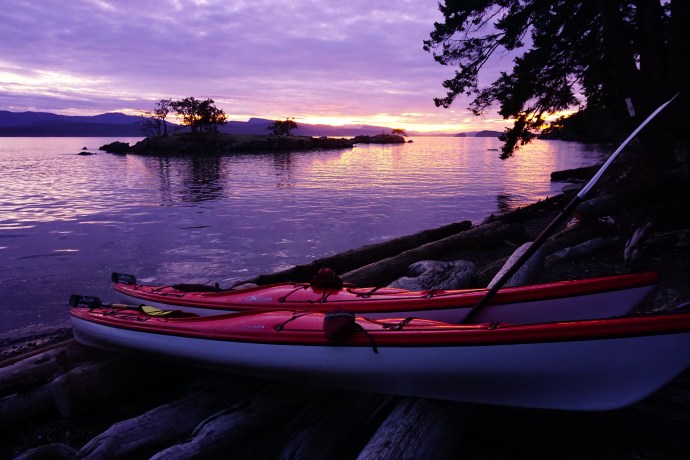
Me and Seth went on our second annual kayaking trip over the labour day weekend and I have to say, kayaking is definitely working it’s way up my list of favourite hobbies. We had a great time exploring Sechelt Inlet last year, but I still would have picked a backpacking trip over a kayaking trip, but since Seth doesn’t like backpacking that much, it’s a lot of fun when the two of us go kayaking together. You’re definitely a lot more vulnerable to the elements in a kayak, but when you get great weather it’s the best.

This trip started with a really early morning ferry ride. The ferry doesn’t run very frequently to Pender, so we were pretty much forced to catch the 7am sailing out of Tsawwassen. The water was looking pretty calm, but there were some pretty dark and foreboding rain clouds hanging around during the ferry ride. Fortunately, the rain wasn’t in the forecast for long and the rain moved off by the time we reached Pender Island and the clouds started breaking up. We picked up our kayaks from Pender Island Kayak Adventures at 9am and hit the water as soon as we could get them loaded up. I have to give a shout out to Pender Kayaks because their kayaks are awesome! Ours seemed like brand new to us and had really nice hatches. I was looking back at our photos of the kayaks we rented in Sechelt and they really couldn’t hold a candle to what we rented on Pender.

We launched the kayaks out of Port Browning Marina, which is located on North Pender Island, near the road that connects to South Pender Island. There’s a small canal between the two islands at their closest point and from there you kayak into Bedwell Harbour, which is essentially a bay between the two islands. Our first campsite, Beaumont, was located in Bedwell Harbour. It isn’t too far from our launch point, so we were planning to kayak all the way around South Pender Island on Saturday, but we changed our minds last minute. We started the paddle down the east side of South Pender and there was a headwind coming back at us, so we decided to ditch the long 15km paddle around the island in favour of a more chill day at the campsite.

Our change in plans involved kayaking through the Pender Canal, which was a piece of cake at the time because the tide was going out and there was a nice current pushing us through the canal (foreshadowing!). We took our time exploring both sides of Bedwell Harbour before pulling into the campsite just before noon.

Pender Island is part of the Gulf Islands and has two backcountry campsites as part of the Gulf Islands National Park Reserve. I was really excited about the prospect of staying in a national park, but I was a little less than enamoured when we pulled the kayaks up on to the lower beach at Beaumont. In addition to their dozen backcountry sites, the reserve also has a dozen mooring buoys located in the bay where people can park their yachts. I don’t have a problem with this, it just takes away from the view a little bit when you look out into the bay and instead of the natural surroundings, all you see is a bunch of yachts. Our campsites in Sechelt Inlet had been extremely remote, with kayaks as pretty much the only way to access them, so it was just a change in pace from that – something I had to adjust to.

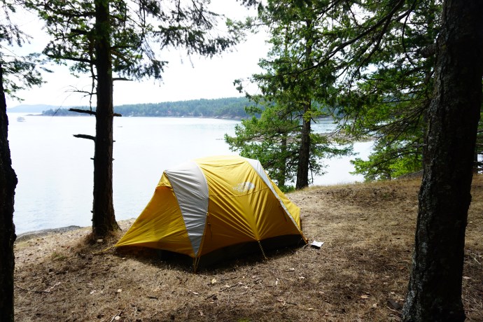
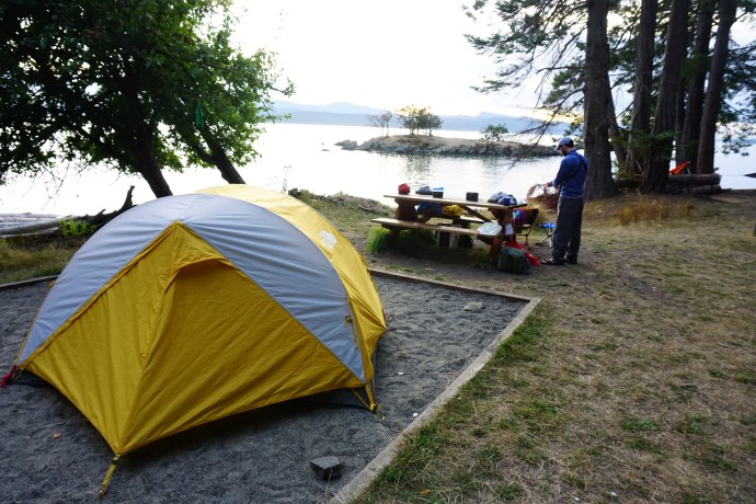
What was more annoying though was that the site we had pre-booked had danger tape all around it warning that the campsite was closed due to a hazardous tree. I get it, you don’t want people camping somewhere unsafe, but come on Parks Canada, don’t sell reservations on sites that are not useable. Or if this was a new thing, then at least notify me and assign me an alternate site. It was super annoying to have to walk around and find another place to camp. The sign said that overflow camping was okay, to just try and pick somewhere low impact, so we set up on the bluff, only to be told hours later by a park ranger that we couldn’t camp there either. He did find us a new site, but it was a more than frustrating experience and we were not pleased to have to move the campsite.

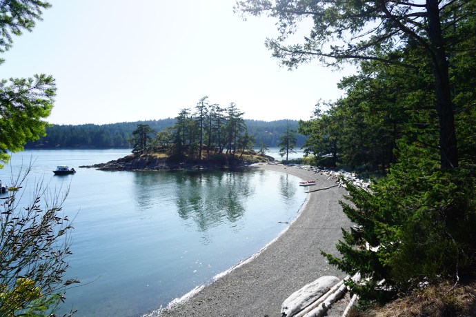
But that was really the only hiccup with the sites and we did still end up with an amazing site along the bluff overlooking Bedwell Harbour. It was quite busy during the day with all the yachters riding in on their little dinghies to explore the park, but come nighttime, it was pretty deserted and we had lots of privacy.

Since we had cut our kayaking short for the day, we decided to have lunch and then go on a hike in the afternoon. From Beaumont, you can hike up to Mount Norman, which is the highest point on Pender Island and has a great view of the Gulf Islands. At first it’s just a lovely little hike along the shoreline, but eventually you start climbing up to the point.

Now, it was pretty overcast and a bit windy when we kayaked in, but since then, the clouds completely moved out and we were suddenly faced with a gorgeous, completely cloudless, blue sky day. It’s only a 250 metre climb to the top of Mount Norman, so I wasn’t expecting anything too strenuous, but boy was I wrong. It’s not a technical trail by any means, but there are no switchbacks and it pretty much goes straight up to the point. Couple that with the hot and humid weather we were having, and it made from a pretty exhausting hike. It’s about 7km round trip from our campsite, but we were a puddle of sweat by the time we reached the top (to be honest, I think I was also fighting a bit of dehydration from our morning paddle).

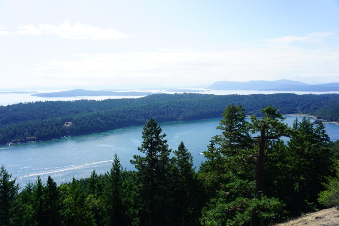
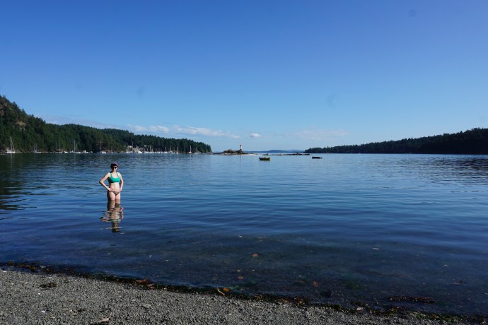
But it was totally worth it for the view at the top! From the lookout, you could see straight over North Pender Island and out to Salt Spring and Mayne Islands. There’s no shade at the top though, so we enjoyed the view for as long as we could bare before seeking relief in the trees again. We were rewarded at the bottom though and went for a quick swim before dinner. The water was shockingly warm for the ocean and felt great on our muscles.

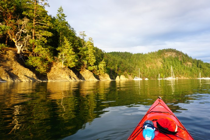
Our view from the bluff looks out on two small islands, although island is a generous term because at hide tide they shrink down to a collection of rocks, but it was a popular hang out location for birds (although surprisingly not seals). Seth wanted to get a closer look at them and the wind had died off completely by evening, so we went for a little sunset paddle to explore. There wasn’t much of a sunset (foreshadowing!), but it was so nice not to have to fight against any wind. After that we hit the sack and spent one of the warmest nights I can remember ever sleeping in a tent. I guess I’m used to sleeping in the alpine, which is generally cold at night, but it was so warm on Pender I don’t think I even did my bag up all night.

Day 2 had a lot more paddling in it than Day 1, but we had a little sleep-in and enjoyed a lazy breakfast looking out over the harbour. It’s hard to stay still for too long though because the water is so calm in the morning and evenings. That was probably my second biggest (foreshadowing!) lesson learned from the trip. It’s worth it to be an early riser as a kayaker because the wind tends to pick up later in the day and the water is a dream to paddle in at dawn.

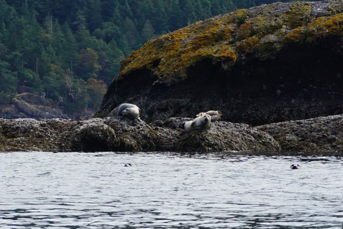
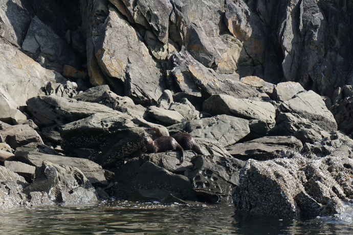
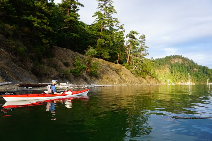
But we hadn’t yet learned that lesson so we took our time on Sunday morning and it was probably around 9:45am when we finally pushed back from the beach. Our plan for Day 2 was to paddle out of Bedwell Harbour and up the outside of North Pender Island to Shingle Bay – the second backcountry campground in the reserve. It was about a 12km paddle, which we knew we had lots of time for, but would be more than we did on any one day on our last trip. We took our time paddling out of Bedwell Harbour. We paddled back to the islands and Seth was thrilled to see 2 black oystercatchers chilling on the rocks (the bird he did his Master’s thesis on). The wildlife viewing was excellent on Sunday and on the way out of the harbour we saw a number great blue herons and other birds and an otter playing on the rocks. We followed the otter for a bit as it swam along the shore and then found some islands at the end of the bay with a seal colony hanging out. We counted 7 seals on the rocks and a bunch in the water.

From there we started to make our way around the outside of the island. This was the single biggest mistake we made throughout the trip. It was a bit windy (although not too bad), but the water definitely got harder to paddle in when we rounded the corner of the island. It was still totally fine for paddling, but it’s a little more intimidating when you’re on the outside of the island with open water on the other side of you. We decided we were ready for a little break to recharge, but we’re dismayed when we couldn’t find any beaches along the coast. Which brings me to my biggest lesson learned: study your maps and know where your stopping points are.

We did have the marine chart for the area and we had given it a look, but we hadn’t adequately mapped out where we were going to stop. Our experience in Sechelt Inlet and the day before was that there are always lots of little beaches around to stop in. But around the south side of North Pender Island, it’s all steep cliffs with no beaches. It makes for scenic views, but not great when you’re getting tired and are in open water. A closer inspection of the map revealed that there weren’t really any beaches for a while. We rafted up for a bit for a little break, but your legs do start cramping up after long periods stuck in your kayak, so we soldiered on to try and get to the first beach we could see on the map, the appropriately named, Boat Nook.

I have to say, I did start getting some anxiety at this point. Seth really needed to pee, but I don’t think I was actually that tired, I just got really nervous about the lack of stopping places and the remoteness of where we were if something happened to us. The water was manageable, but it wasn’t the calmest and we did still have to work against wind and currents. I talked myself down as best I could though and we did eventually make it to the Boat Nook, which was a huge relief.

I couldn’t believe it though when I checked the time after we pulled up the beach. We hadn’t even been kayaking for 2 hours! We ended up paddling probably 9 of our 12km in just 2 hours. It had felt like we were on the water forever, but the anxiety had just made it seem longer than it was. It wasn’t even noon yet, but we wanted a nice long break, so we decided to have an early lunch. There wasn’t much paddling left after that, so we had a leisurely paddle to Shingle Bay.

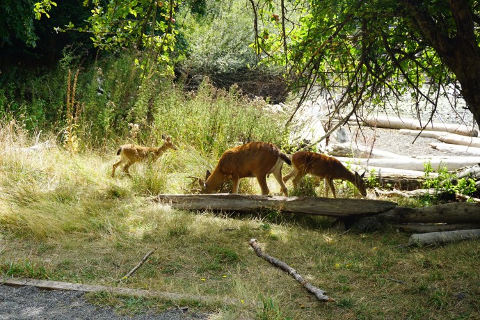
It’s hard to say which campsite I liked better. Shingle Bay was pretty much just a meadow and orchard, so it didn’t have much privacy, but I liked the vibe there a lot better than at Beaumont, which had been dominated by the people in their yachts. Shingle Bay was really chill. There’s a bunch of apple trees in the orchard and there was a family of deer that hung around all day eating fallen apples. It was low tide when we arrived, so Seth spent some time exploring the tide pools and I did a bit of reading.

What did surprise me about Pender Island though was the lack of kayakers. Sechelt Inlet had pretty much been exclusively kayakers, but because of the nature of the campsites being located on an inhabited island, there were all sorts of people at the campsites, none of which were kayakers. We saw a few people out for day trips, but the two nights we were out, Seth and I were the only people that kayaked to the campsite. People at Beaumont either hiked in or came by yacht, and everyone else at Shingle Bay hiked in. It was a bit odd though because while the campsite is promoted as a backcountry site, apparently it’s not very far from the parking lot, so everyone was carting in all this fancy car camping gear like grills and coolers in wagons.

We hadn’t planned to go out paddling again, but everyone was crowded out on the point to watch the sunset, and we decided it would be more enjoyable to watch it from the water, so we decided to go for another evening paddle. Best choice ever! I didn’t think the sunset was going to be that great because it was pretty cloudy, but it ended up being incredible and lasted for ages! It started off as golden yellow and then changed to pinky-purples, before going a deep red/orange at the end. It made for some really gorgeous photos on the water and we saw a few porpoises as we were paddling around.

We had an early night again though because we had a big day ahead of us on Monday. We had to undo all the paddling we’d done over the past 2 days, about 15km, and we had to do in all in time to catch the 3pm ferry back to Vancouver. We got up at 6am and were on the water by about 7:15am. This was one of the best decisions we made all weekend and really cemented the lesson that the water is best in the early morning. It was slightly choppy right when we started paddling, but it was only because we started just as the tide was changing, after that it was dead calm on the water.

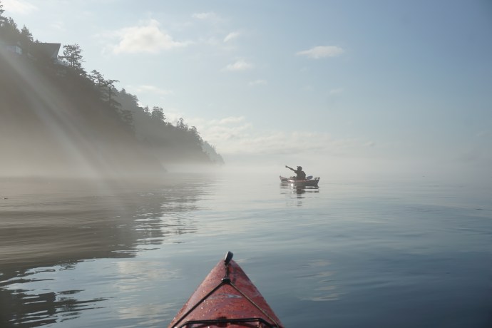
We took a short break again at Boat Nook to prepare for the long section, but the kayaking was a dream this time around! It was so calm, we cut through the water so easily and we saw so much wildlife! We saw tons of otters, seals, and birds, and were again joined by 2 porpoises. There was still some mist hanging over the water and it made for some really gorgeous photos against the rocks. It was a totally different experience than the day before, thank goodness.

We had planned to stop at Beaumont for an early lunch, but we made such great time on the way there that it was still too early. So we stopped in for a pee break and then decided to make an attempt at the channel. We asked Pender Kayaks about the channel when we picked up the kayaks and they said it could be challenging when the tide is going down (which is was), but we didn’t have much choice but to make an attempt at it. As soon as we got close you could tell there was a current, which tried to turn us around, so we stuck to the edge of the channel. The hardest section though is going under the bridge because all the water funnels through the piers and it’s quite strong. That was the hardest part for sure and was pretty exhausting. I was making progress through the opening, but it was definitely a challenge to make any headway and my arms were so tired.

Fortunately there’s a beach just to the left of the channel when you exit, so we made a beeline there for a quick break before crossing the rest of the channel and landing on a beach on the north end of South Pender Island. We had lunch there and enjoyed the last few moments of the trip before kayaking back through the marina and returning the kayaks.

So it was definitely an eventful trip, as evidenced by the length of this post! It was only our second trip, but I definitely feel we learned a little something new every time. Our paddling skills are definitely improving and hopefully we’ll continue to get more planning savvy as we continue. It was a lot different than Sechelt Inlet and I’m pressed to say which one I enjoyed more. Sechelt is definitely more remote, but we saw so much wildlife on this trip and I felt that there was a lot of variety between campsites and paddles. There’s a ton more campsites to explore in the Gulf Islands, so we’ll definitely have to go back!