Last week I wrote about Keats Island, which was the first in a slew of backpacking trips I did in late Spring. Many people are familiar with Lightning Lakes, which is a popular location for day trippers in Manning Park. I’ve done a lot of backpacking and car camping in Manning Park and I love spending a day relaxing at the lake in the summer. At this point, I think I’ve hiked the majority of the popular trails in Manning Park, including many times hiking around Lightning Lakes, but I’ve never done the Lightning Lakes Chain Trail. I’ve been wanting to do it for years and I finally made it happen in early June.
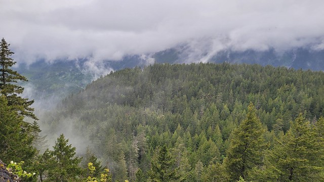
Lightning Lakes Chain Trail starts at the main parking lot and includes hiking around the first two lakes before continuing 11km into the backcountry, passing 3 more lakes along the way. It’s a good hike for early in the season because the trail follows the river through the valley and has minimal elevation gain. So even though the hike starts at a pretty high elevation (1200m), all the snow melts at once, meaning the trail is usually completely clear by June. I first became aware of this hike in 2018 when I did the Skyline II Trail from Strawberry Flats to Mowich Camp. That trail hikes up to the top of the mountain and then follows the ridge through Despair Pass and up to Snow Camp Mountain. From there, you can see Thunder Lake, which is the final lake on the Lightning Lakes Chain Trail, located in the valley below.


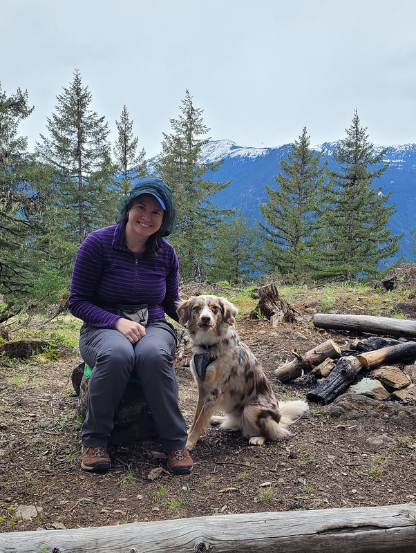
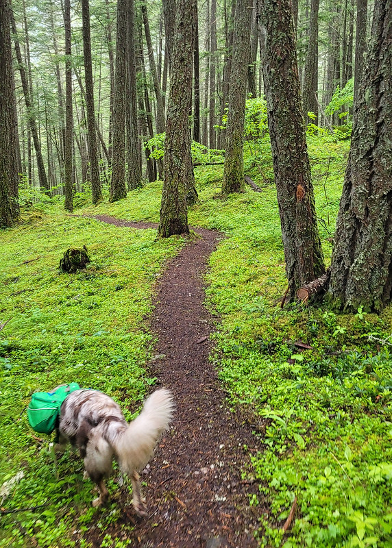
On this occasion, I left my house on Saturday morning with my dog, Sadie, to meet my friend in the park. I haven’t seen very much online or on social media about this trail, so I wasn’t expecting it to be busy. We met at noon and started hiking around 1pm. It was a pretty hot day for early-June, especially in Manning Park, which can be cold. I find that you never know what you’re going to get in Manning – you’ll either get beautiful sunny weather, or it will be cloudy and absolutely freezing (more common) – but it feels like there’s no in between.
So I was thrilled to get warm weather. Even though it had been nice in the city for weeks, Lightning Lakes was my first real mountain hike of the summer and I felt a giddy anticipation for the season to come. This was enhanced by the fact that the trail was filled with wildflowers! I can’t ever recall seeing wildflowers in June before, but we saw common paintbrush, lupin, arnica, columbine, valerian sitka, spreading phlox, pentstemon, and violet (among others I couldn’t identify).


It was busy along the first Lightning Lake, but the crowds tapered off when we hit the second Lightning Lake. We stopped for a snack at the end of the second lake, before continuing along the rest of the chain trail. From that point onwards, we saw very few people, I can only recall passing one or two groups of day hikers. The trail continues to Flash Lake and Strike Lake, with the campsite located just past Strike Lake. The challenge is that this trail doesn’t see a lot of trail maintenance and there is a fair amount of blowdown, so we did a lot of crawling over and under trees and my legs got pretty scratched up.
I wanted to swim in all the new lakes I’d never been to before, but Flash Lake wasn’t particularly nice. It’s a bit scummy and I couldn’t see anywhere nice to enter the water, so I ended up skipping it. Strike Lake was a little bit better, but there’s still not a lot of good places for swimming. Close to the end of the lake, we found a decent spot and took another break. Colin had a snack while I went for a swim. The water was cold, which it always is in Manning, but surprisingly, I didn’t find it too bad. We were pretty sweaty from the humidity, so it was a nice break to cool off.


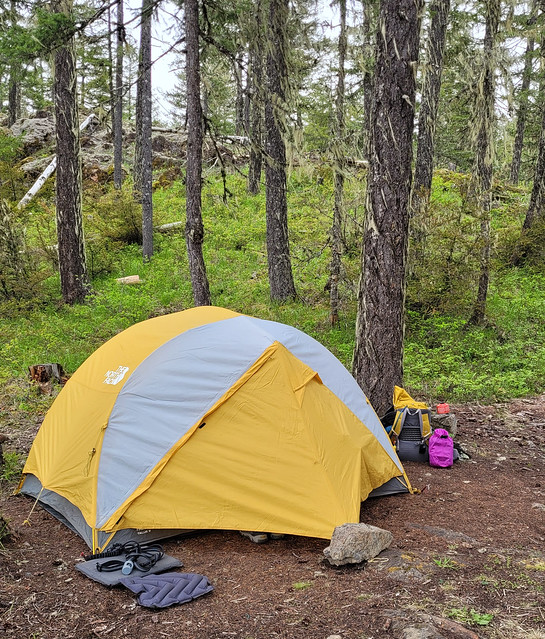
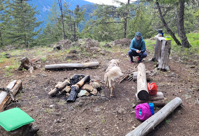
The campsite is just a few hundred metres past the lake, but what I wasn’t prepared for was how busy it was at the campsite considering the trail had been empty. It is a fairly large campsite, with several tent pads spread out along the river and through the forest, but they were all full. There was a school group that had hiked in on Friday that was taking up a large portion of the sites near the river, but even excluding them, there were still a lot of hiking groups. I do wonder if this campground is busy all summer long, or just in Spring/early Summer, since it’s a lower elevation hike. Either way, we couldn’t get a tent pad and wandered around for a while looking for empty space before squeezing in among the trees near the river. We had Sadie with us and there was another dog on the other side of the campground, so we mostly tried to avoid them. I think it ended up working out.
We arrived around 3:30pm, meaning it took us approximately 2.5 hours to hike in, including the swimming and snack breaks. I was keen to continue hiking to Thunder Lake, so once we set up camp, we packed supper with us and hiked another 3km to the final lake. Trail maintenance definitely didn’t improve after the campground. There was still a good number of trees blown across the trail, but what was more annoying was that some sections of the trail were very overgrown with shrubs, and in one area, a very prickly plant. I’m not sure what it was, but we quickly noticed it stinging us as we were walking through it, so shorts weren’t a great idea. It was probably only along 5 minutes of the trail, so we just suffered through it, but we both changed into pants on the way back.


As far as the trail goes, Thunder Lake is a bit of an anticlimactic way to end. It’s a beautiful lake, but it’s really hard to access. As you approach the lake, the trail goes through a very steep boulder field, with the river flowing along underneath. You end up getting pretty high above the lake and the area doesn’t look entirely stable, so it’s not a great place to stop. Eventually you reach the treeline at the edge of the lake and there’s a sign saying that it’s dangerous to go further. We did go a little bit past the sign and I can confirm that it’s not worth it. The trail got steeper and was very dicey with loose rock overhead, so I don’t recommend it. It’s too steep to get down to the water, so we backtracked to the sign.
It’s frustrating to be so close to the lake, but unable to access it. We did find a small side trail leading down to the edge of the water, but there’s limited space to hang out. Fortunately there weren’t many other people around because it was late in the day, so we managed to go for a quick swim and had an awkward time cooking supper along the slope. I couldn’t even set up my camp chair because there was nowhere flat enough. So if you hike all the way to the lake, don’t assume you’ll be able to get down to the water, and if you try, definitely be very careful. I think it could be easy to get into trouble here or cause a small rockslide. I did not feel comfortable when we were bumbling around in the forest trying to find a way down, which is why we came back.


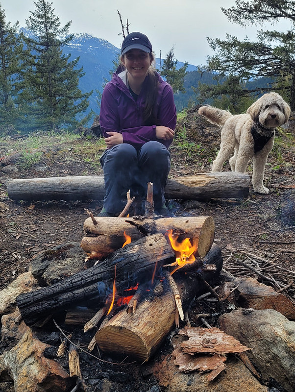
Otherwise it was a pretty chill trip. We hiked back to the campsite, arriving around 8pm and hanging out for an hour before going to bed. There is an outhouse and a bear cache, though the outhouse is a bit hidden in the trees. When you arrive at the main sign, it’s up through the trees to the right. I spent some time reading before bed and slept well with the sound of the river next to my tent.
It took us another 2.5 hours to hike back to the parking lot the following day. I would have liked to go for a swim at Lightning Lake before driving home, but I had Sadie with me and she’s a lot to manage when there’s people around, so we opted to skip it. Overall, I did enjoy the trail, in spite of the blowdown. The hike is primarily in the trees and not one of the more breathtaking hikes in Manning Park, so I probably wouldn’t choose to do it in the middle of the summer, but it was a perfect early season hike! Manning is still my favourite provincial park in BC and I love any time I get to recreate there.