In line with my previous post, while there are a lot of intense hikes and backpacking trips to do in BC, there are also lots of attractions that don’t require substantial physical fitness to visit and enjoy. In Fall 2022, my parents came to visit for several weeks and we decided to road trip out to Shuswap Lake for a few days and visit Adams River to learn more about the salmon run. It was my first time visiting Shuswap Lake and it was an abnormally warm Fall, so we had a great time exploring this part of the province.
For our trip, we stayed in a little airbnb located on the beach, just outside of Salmon Arm. It was a nice 2-bed cabin for me, Seth, and my parents, but October is maybe not the most ideal time to visit. The water level in the lake slowly subsides all summer, so it was extremely low when we visited, meaning it was quite mucky along the beach. This was also the year when the province got overrun by invasive stink bugs and we had to remove several dozen of them from the cabin. It was no fault of the owner, they were just rampant everywhere that year, so it was a bit gross trying to purge them all from the rooms.

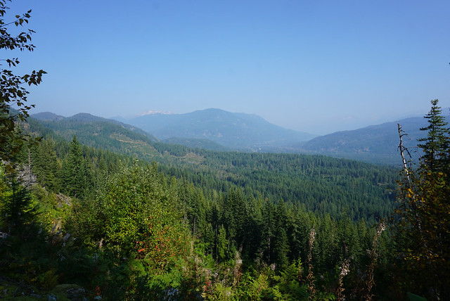
We only had 3 days and we spent the first day enjoying the drive out. We stopped outside of Kamloops and did a short hike up to a viewpoint at Dufferin Hill, plus we made a few ice cream stops for my mom and Seth along the way (any time Mom visits on her holiday we eat ice cream every day). It’s a 5 hour drive from the lower mainland to Salmon Arm, so it was a bit far for a 3 day trip, so we made the most of it. We enjoyed a nice walk around the parks near the Salmon Arm Wharf and had dinner at 1905 Kitchen, which was delicious!

Day 2 was our only full day without driving, so I’m impressed with how many activities we were able to cram into a single day. We started the morning with a visit to the Downtown Salmon Arm Farmer’s Market, which is open year round on Saturdays from 9am – 1pm. I was actually really impressed with the market. It was pretty substantial for such a small town and it was hard to pick between so many yummy sweets, plus lots of fruit and produce options. Plus it’s located right on one of the main streets and there are tons of quirky shops nearby.
I immediately made a beeline for The Book Nook, which is a used bookstore at the east end of the market. They had a pretty good selection and I picked up a few books. My other favourite was Sanctuary Games, which has a huge selection of board games and puzzles, plus a bubble tea cafe in store.


Our next stop after the market was to head over to the local mall to visit Bookingham Palace. I just stumbled upon The Book Nook, but I couldn’t resist planning a visit to Bookingham Palace. It’s a more traditional bookstore and nothing too special, but they were having a big sale when we visited, so we all picked up some new books before heading out of Salmon Arm to explore some nearby attractions.
Next we hoped over to the other side of the lake to do a short hike. There’s a small park called Herald Provincial Park, with a short hike (~1km round trip) to Margaret Falls. The trail follows to river up through a canyon to a tall waterfall cascading down over the rock. It’s a nice roadside attraction when you’re in the area. Afterwards, we continued down the park road to the picnic area and hung out on the beach for a while eating some snacks.


My parents don’t drink alcohol, but they were willing to explore at least one winery with us while in the Okanagan, so we made an early afternoon booking at Sunnybrae Winery for lunch. There’s a really nice balcony looking out towards the lake, so we enjoyed a charcuterie board on the terrace on a weirdly hot day for October. Seth and I picked up a few bottles of wine to take with us before getting more ice cream for mom.
We decided to return to Salmon Arm, this time visiting Canoe Beach. It’s a huge sandy beach on the south side of the lake with a really nice swimming area. Like I said, it wasn’t the best swimming season because the lake level was so low, but by late afternoon, I couldn’t resist going in the water. It was actually really warm, so Dad joined me as well and we goofed around in the shallow water. We waded out until we finally reached deeper water and generally just felt unreasonably pleased with our good fortune to be able to swim in October (we both love swimming).


For dinner, we hit up the Barley Station Brewpub, which was more about me and Seth wanting to sample the local craft beer rather than the food. Then we finished off the evening with several hands of cards at the airbnb.
On our final day, we had to drive all the way back to Vancouver, but the primary reason for our trip was to visit Adams River for the Salute to the Sockeye. The salmon run has a dominant cycle every 4 years, and 2022 was a dominant year, so we were keen to see it. Unfortunately, a lot of salmon stocks were decimated in the flooding in 2021 because their spawning grounds were wrecked and the eggs completely washed downstream. The salmon should have been peaking when we visited, but unfortunately they were late, so while we did still see some of them in the river, they were not running in abundance.

It was still a really nice side trip though. The Adams River Salmon Society and the Little Shuswap Lake Band run events in Tsutswecw Provincial Park, which features a welcome ceremony, artisan market, and food trucks. We enjoyed the festival for a few hours and walked along the nice trails before heading back to Vancouver.
Overall, it was a pretty chill trip with a bit more driving than I usually like. But it was fun to do something new with my parents (who have made quite a few visits to Vancouver over the years) and spend time as a family. I’d probably recommend the Shuswap area earlier in the summer, but it’s also at lot busier and accommodations are more expensive then. Fall is a nice time to visit if you’d like to see the salmon run or enjoy the lake with smaller crowds.