After a rainy night at Eva Lake, we packed our bags to continue on to Jade Lake. There’s a short hike back to a junction where you can do a detour down to Miller Lake. Every lake in this park is gorgeous and it’s definitely worth the extra 1km to hike to Miller Lake. The clouds were starting to lift and we got some cool views of the vibrant blue water before heading onwards. I really wanted to swim in Eva and Miller Lakes, but I was pretty chilled from the rain, so I’ll have to return and swim in those lakes one day!
The trail to Jade Lake is absolutely phenomenal. It’s ~7km from Eva to Jade, including the side trail to Miller. Once leaving Miller Lake, you hike back to the junction and then continue up to the alpine by crossing the edge of Miller Lake along the mountainside. After a bit of uphill, you reach the alpine and cross through numerous meadows filled with wildflowers. Then there’s a steeper uphill and you eventually reach the top of the pass. I’m not sure the technical name of the pass, but we called it Jade Pass.


From Jade Pass, there are amazing views of the alpine and surrounding mountains looking down on Jade Lake. I’m sure this park is really beautiful on a clear, blue sky day, but I honestly feel lucky that we got to visit it on a cloudy day. The clouds were large and dynamic, constantly moving around the landscape, revealing the mountain range beyond. It was a very cool experience. We stopped for lunch at the top of the pass to enjoy the view. There were quite a few more day hikers around since it was a Saturday, but we didn’t see anyone heading down to the lake.

Jade Lake is stunning and absolutely worth the hike down from the pass, but I can understand why a lot of day hikers don’t do it. It adds another 2km each way, as well as 200m of elevation gain. No one wants to hike down there, just to have to turn around and hike back up. Before we left, I hiked up a little further to a nearby peak for some extra photos, before shouldering my pack again for the hike to the valley. You’re in the alpine for most of the hike down, so it’s very barren, but the views are incredible. We saw a few pikas and marmots along the way, so we intentionally kept a slow pace to just enjoy the experience.


Just before you reach the lake, you enter back into the sub-alpine and continue through the trees. There’s 4 tent sites at Jade Lake and I personally think we ended up with the best site, which overlooks the lake. However, the real star of the show at Jade Lake is the outhouse. The outhouse is elevated and built right on the rock overlooking the mountains. There’s no door, so you can sit on the toilet and enjoy the view to your heart’s content!
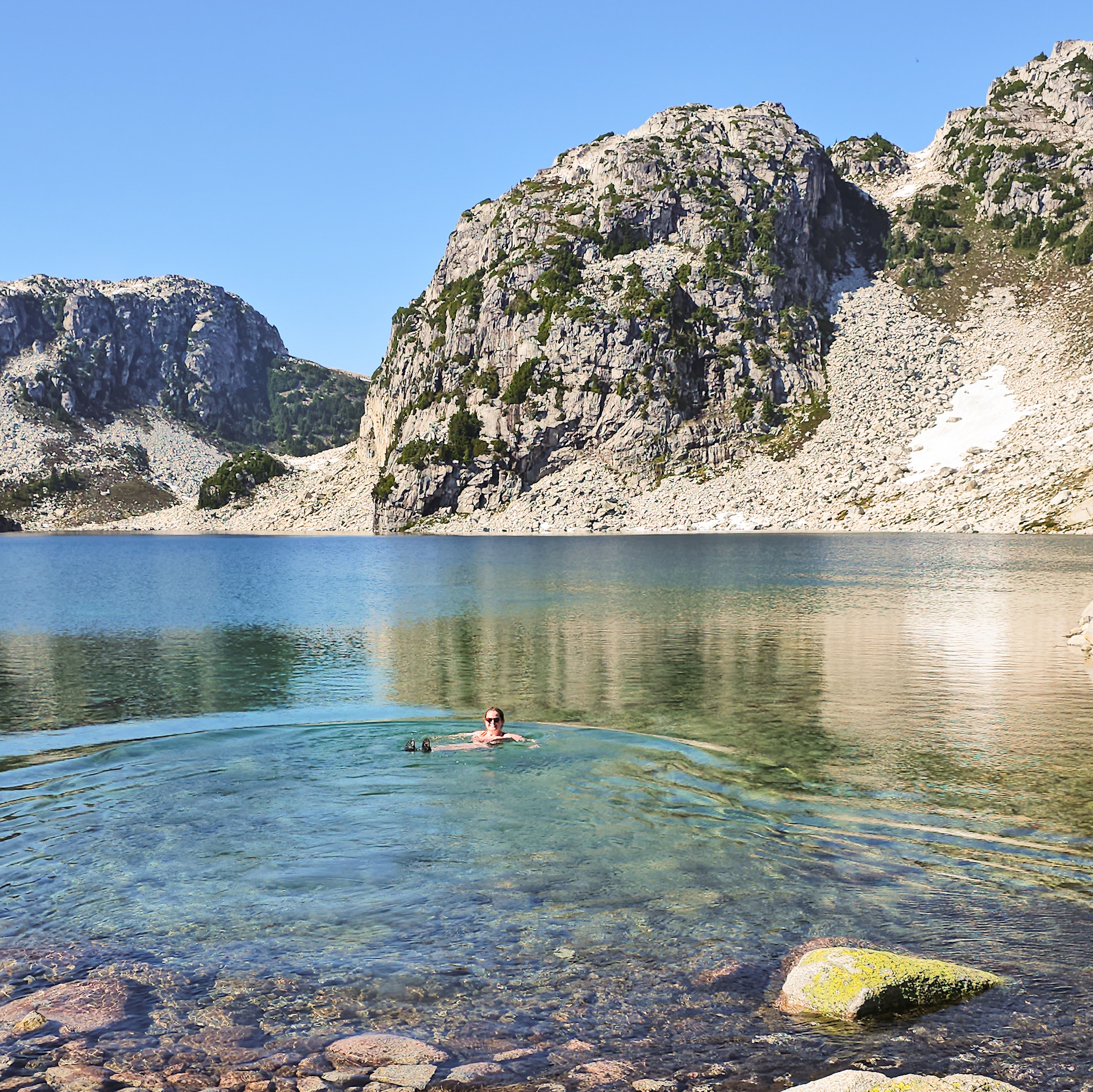
But my first order of business was to finally go for a swim! The lake was cold (of course), but it was a lot warmer than I was expecting for an alpine lake. I was able to stay in for a while and really enjoyed a good swim. Brandon did his customary dip and returned to the tent, but since there was no one else around, I did a quick skinny dip before drying off.

The main lake where the campsite is, is actually called Upper Jade Lake. There’s a lower lake a few hundred metres away, but there’s no trail to access it. You can almost see it from the campsite and we were feeling adventurous, so we decided to go on a little bushwacking adventure. We approached from the north side of the creek running between the two lakes. It’s a little boggy in some areas, but we were able to find our way down relatively easy. It’s a nice view, but we didn’t stay long because it was very buggy and we hadn’t brought the thermacell!


We returned to the upper lake and had our supper along the lake shore (with thermacell this time). It was a really nice evening, but we decided to head to bed early to get a headstart on the return trip. It got pretty cold and dewy overnight and the moon was very bright, so we didn’t see many stars.
We got up around 6am, just as the sun was rising over the mountains, which turned the mountain behind the lake golden. It was really beautiful and we were the only people awake to enjoy it. In fact, when we started hiking just before 8am, we were still the only people up. It is a pretty big climb to the top of the pass, so I’m glad we got up early. The sun was hidden behind a few clouds and it stayed that way the entire time we were climbing, which was awesome. It took us about an hour and the sun finally peaked out just as we reached the top of the pass.

The real benefit of getting up so early though was the wildlife. We saw a few marmots and pikas the previous day, but the area was absolutely crawling with them on our final morning! I guess they get up and enjoy the views early when it’s cool and before the crowds show up. We spent a lot of time watching them around the rocks.
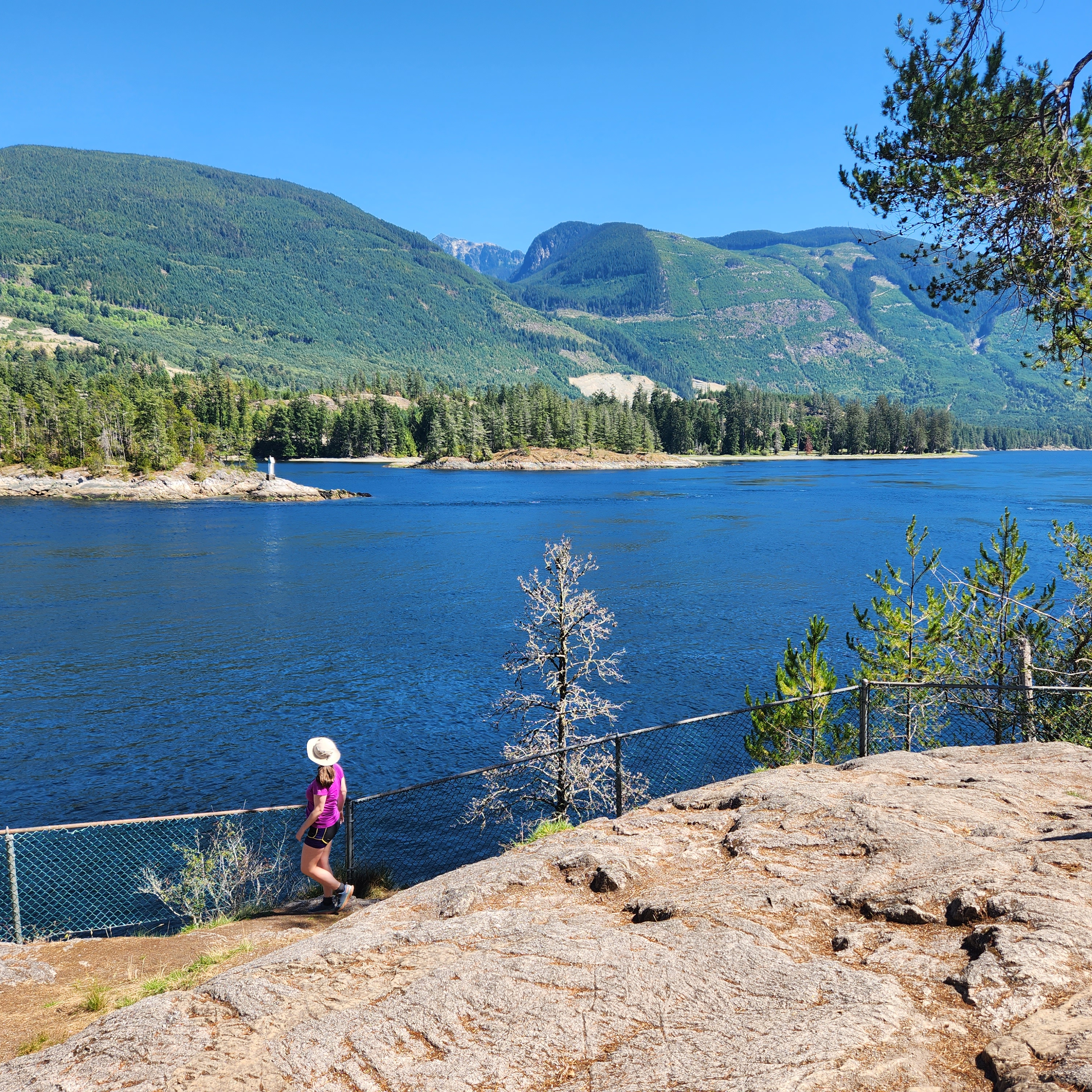
We had the pass entirely to ourselves, as well as the hike back through the alpine to Miller Lake. We didn’t encounter a single person until a few kilometres past the junction to Eva Lake. I wonder if the gate to the parkway opens at a specific time, because as soon as we passed the first group of hikers, it was a steady stream of people the rest of the day. Arguably, it was the nicest day of our trip, so we got to enjoy the nice views along the trail that we’d completely missed on the way in.


It was 10.5km back to the parking lot from Jade Lake and we didn’t take any breaks. We continued at a pretty solid pace because we still had to drive all the way back to Vancouver on the same day. It’s not really ideal, but there was enough time for it. We got back to the car around noon and the parking lot looked very different from when we had started in the pouring rain.

We were a bit too early for the good restaurants in Revelstoke, so we decided to have lunch in Salmon Arm so that we could get bison burgers. They were just okay, but we made a stop to Fruit World in Sicamous along the way (which we discovered on our trip last year). We stocked up on fresh fruits and veggies and enjoyed an ice cream cone. Otherwise, it was a long drive back to Vancouver. But in my opinion, it was worth it and I would totally do the same trip again.
I’m glad we had the ranger cabin at Eva Lake on our rainy day, if I could do the trip again in nice weather, I would probably reverse it and do Eva Lake on the second day so that I could have a shorter distance to hike on the way out. The permits are released really early in the year (March) for the entire season, so you have to be on the ball with bookings if you want to go on a weekend. But if you get the chance, this is a beautiful hike in what is in my opinion, a bit of an under-hyped National Park.