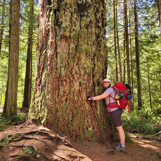
After a great day at Ait Benhaddou, we had planned a second excursion to Ouzoud Waterfalls. They are also located outside of Marrakech, but seemed to be slightly closer than Ait Benhaddou. For this tour, we went with a company called Marrakech Desert Trips. I definitely wouldn’t recommend them as much as I would Click Excursions. There was no dedicated tour guide, which was fine because you have a local guide once you arrive in Ouzoud, but more concerning, the bus did not have AC. It is so hot in Morocco and everyone in the bus was quite cranky as it felt like we were being forced into a baking tin can for several hours of driving.
The tour guide meets you right at the bus when you arrive in Ouzoud. It’s optional, but I recommend just taking advantage. They only ask you to pay $2 each for their services for the entire day, so please tip them a little more generously! Our guide shared some fun facts with us about the area, but mostly he just ushered us around the attractions. We started with a view of the falls from the top, where there we’re a ton of monkeys hanging around. They looked a lot more like baboons to us, but we did some research and confirmed that they are in fact, monkeys. You can buy peanuts to feed them from the local kids, but honestly, just take your photo and avoid feeding them. This kind of tourism is never good for the animals and I appreciated that our guide advised us as such.


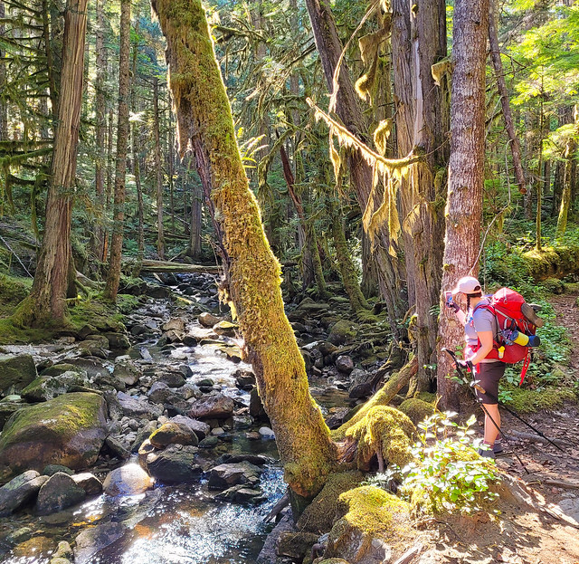
We hiked down to the falls through some of the local Berber villages and learned that Morocco is one of the biggest exporters of olives and olive oil. There are olive trees everywhere that are tended and harvested by the Berber families. We stopped at a nice viewpoint for photos before finishing the walk to the base. At the base, there are several options. You can pay a few dollars to take a “boat” ride up to the falls, or you can just explore on your own. We were much more interested in swimming, so we decided to forego the boat ride and went for a little dive into the pool instead. The water is actually pretty cold, but not too cold for us Canadians!
The waterfall is quite beautiful. I wondered if going all the way to the waterfall was worth it for one view, but it was a pretty low key day and I actually ended up enjoying it quite a bit (aside from the bus ride). After a refreshing swim, we climbed partway up the cliffside to a restaurant with fabulous views of the waterfall to enjoy lunch. We finished by climbing back to the top and hitting a few more viewpoints (and getting some ice cream), and then we packed aboard the bus again to return to Marrakech.


On our last day in Marrakech, I really wanted to go camel riding. I know it’s a bit cliché, but I’ve never been anywhere that camels are native and I really wanted to cross it off my bucket list. Emily was much less enthusiastic (she has a fear of horses, which she has confirmed extends to camels), but fortunately she agreed to accompany me, while reminding me it was a one time thing!
Emily was more interested in visiting Jardin Majorelle, so we decided to do that in the morning and go for a short camel ride outside the city in the afternoon. Unfortunately, our planning wasn’t great. Jardin Majorelle is a major attraction in Marrakech and we didn’t realize it had timed entry. None of the other sites we visited had timed entry and we arrived at the park to realize that we wouldn’t be able to enter for several more hours, meaning we didn’t have enough time. So unfortunately, we had to skip the attraction, but learn from us if you ever go to Marrakech. It looked really cool and we were sad to miss it.


Emily confirmed that her fear of horses does extend to camels, but she was a trooper and I had a great time on the camel ride! We went 30 minutes outside the city with a small group for a 1 hour camel ride. Going in the afternoon wasn’t the best idea because it was really hot, but I still enjoyed the experience. There was only ~6 of us and we walked around the Palmerie. An hour was honestly a bit long and I was pretty bow legged afterwards, but it definitely ticked the box for the experience. My camel’s name was Scooby-Doo and Emily’s camel was Olivier. We were served cold water and biscuits afterwards before driving back to Marrakech and overall, I thought it was a nice experience.
But that pretty much concluded our time in Morocco. In hindsight, 5 days in Marrakech was a bit too long. I think I would have preferred to have more time, but to explore more of the country. I’m sad we didn’t have time to visit the Sahara, or other cities. I preferred to have a central base because I was a little bit nervous about traveling to Morocco, but I would feel more comfortable returning in the future. The busy-ness of the medina felt overwhelming at times and I didn’t like being out after dark, but otherwise, I never felt unsafe in Morocco. I would definitely love to return to tick sand dunes off my bucket list in the future, though if Emily is involved, I did promise no more camels!