Minnekhada Regional Park

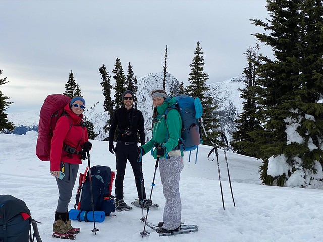
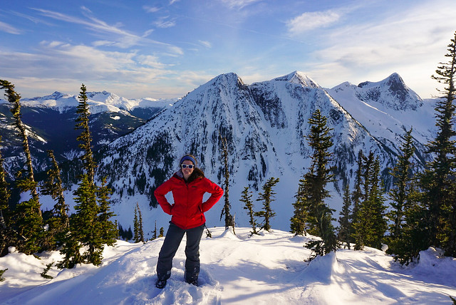
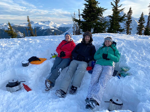
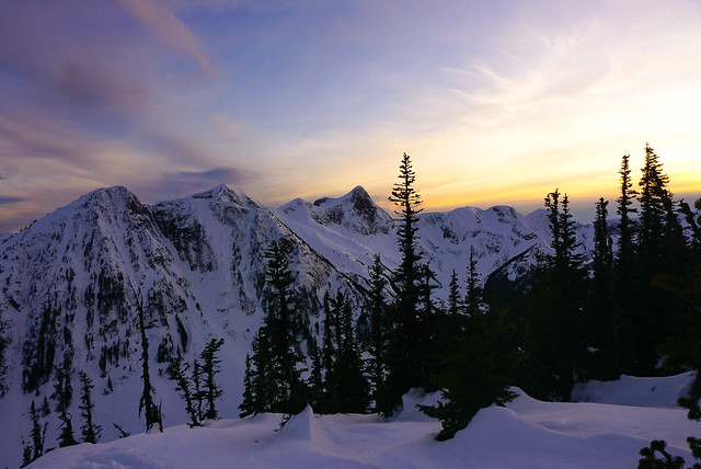
The pandemic has obviously been draining and awful for everyone, but it’s definitely given me an appreciation for all the trails that are still within close driving distance to the city. I love getting away from the city and out into the wilderness, but there’s still a lot of wilderness right at our doorstep.

Metro Vancouver is lucky to have so many regional parks scattered throughout the lower mainland. Minnekhada is one I’ve spent a fair bit of time in over the past year, so I decided to write about it because it has definitely become one of my favourite local parks.

DSC08281

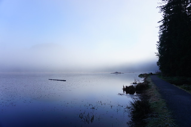
Minnekhada is wedged in the mountains between Coquitlam and PoCo and offers a nice escape from the city. It’s not that large of a park, but the reason I like it so much is for the diversity that you’ll find along the trails. The trail network consists of a figure 8 trail loop around two ponds that are just bursting with wildlife! There are several beaver lodges scattered throughout the ponds and it’s a great place for birdwatching. Metro Vancouver has a lodge at the south end of the park that used to run events pre-covid and has a bird-blind for watching the pond.

DSC08260

You can customize your trail length by either doing one or both of the pond loops. The trail crosses in the middle providing beautiful views of both ponds and the surrounding mountains (actually in reality this is one pond with a dam/causeway trail going across the middle). It seems like most people just do the southern loop, which is shorter, so we often take Sadie dog-walking around the northern loop because she’s still pretty nervous around dogs and strangers and we rarely see anyone there.

The highlight of the trail network though is the hike up to Low Knoll and High Knoll. Low knoll is a small branch off the southern loop to a forested viewpoint looking out over the ponds. High Knoll is known as the “Quarry Rock of Coquitlam” because it’s a steep hike to get up to the rocky outcrop that provides a scenic view of the tri-cities and Pitt-Addington Marsh. The view isn’t quite as stunning as Deep Cove, but in my opinion it’s a shorter and easier trail to the top.

DSC08301

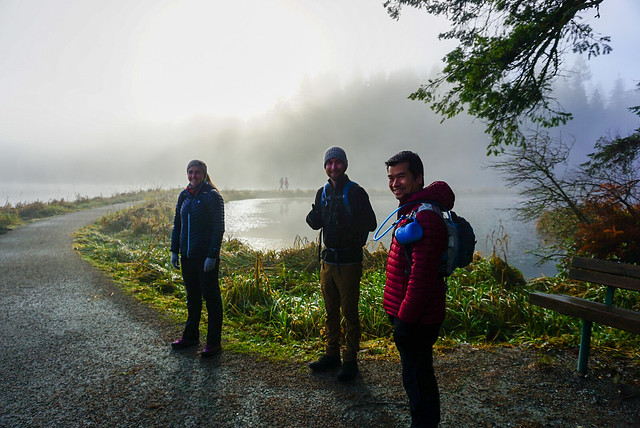
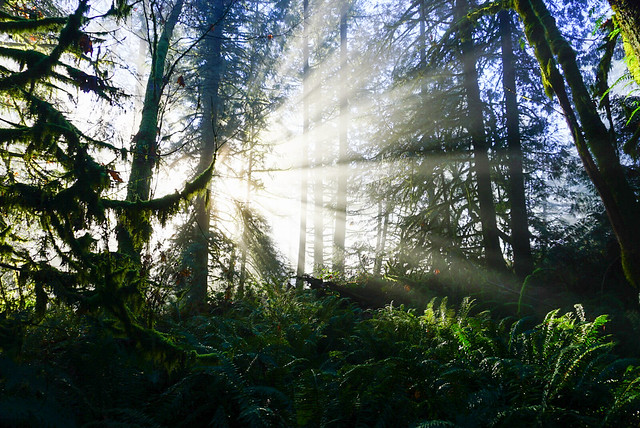
The first time I did High Knoll was a few years ago when I took my parents up there, but more recently I went up on a foggy morning in early December and stumbled upon some of the best views I’ve seen in the park. It was a sunny day, but the fog from the Fraser River was hanging low and had drifted into Coquitlam. It made for some stunning foggy views around the lake, with the sun streaming through the trees in sunbeams. But when we got up to High Knoll, we were treated to the most beautiful inversion. We’d hiked up above the clouds and could see the fog hanging over the city with the skyscrapers just poking up through. Steve treated us to some hot tea while we enjoyed the views.

DSC08275

The shorter loop trail clocks in at around 3.5km, while doing both loops with High and Low Knoll side trails clocks in at around 8km. So you can really customize the trip however you want. However, Minnekhada is also well known for bears, so you should always practice bear safety when walking in the area. We went on an unfortunate hike in October where we ran into either 2 bears, or the same bear twice (we’re not sure). We first encountered it near the Low Knoll trail and it wondered off when we started making noise, but as we continued around the north loop trail, we encountered it again, but this time it did not leave us alone. It didn’t seem like an aggressive bear, but it was definitely curious about us and did not move on when we started making noise (nor was it deterred by our pre-emptive bear calls, which we’d been doing since the first encounter). We ended up abandoning the loop and backtracking and it didn’t follow us, but it did make me really nervous and I’d been arming myself with rocks in case in pursued us. There are bears all throughout the park, but we felt more vulnerable on the North loop because there are less people.

DSC08268

Anyways, don’t be deterred by the bears, just hike with a friend and bring a horn with you, especially in late fall when the bears are bulking up for hibernation. That’s the only time I’ve ever seen them and I’ve been there a half dozen times. Overall, I think it’s a beautiful, under-rated park and I’d definitely recommend checking it out!

Zoa Peak Snow Camping

It hasn’t been the best year for winter activities. Between the pandemic restrictions and the avalanche ratings, it’s been hard to get out and enjoy the snow. We went snow camping at Lightning Lakes in late January and we’ve been trying to fit in a second trip ever since. The avalanche ratings have been pretty consistently at ‘Considerable’ and ‘High’ throughout the last month and we ended up cancelling our trip twice. But we finally got decent conditions this past weekend and decided to go for it as one last snow activity to close out the season.

IMG-20210315-WA0007

Zoa is popular among backcountry skiers because it’s a relatively easy hike up an old forestry road and thanks to the low incline, most of the hike is in simple terrain. Interestingly, the first time Carolyn and I ever snow camped was at the base of the Zoa Peak trail. We’d intended to go to Manning, but a wrong turn on the highway landed us in the Coquihalla Rec Area and we decided to snowshoe 1km in to the Zoa Peak/Falls Lake trailhead and camp on the summer parking lot (which isn’t plowed in the winter). So we felt like we’d come full circle by returning to this area and hiking up to Zoa.

20210314_110814

It was a busy day on the trail with both skiers and snowshoers, but we were the only ones staying overnight and the crowds quickly thinned out when we reached the top. However, it was a very challenging hike up the mountain. Because it was mid-March, it wasn’t really ideal snow conditions for any kind of activity. We debated for ages whether we should wear snowshoes or spikes and ended up with me and Brandon hiking in spikes and Carolyn and Steve in snowshoes. There was really no right answer, but in retrospect, I think snowshoes were overall the better choice.

PSX_20210314_180305

The first kilometre along the access road was very well packed and I had no problem in spikes, but once we started climbing up the old forestry road, snowshoes were preferable. It was really sunny, so the snow became a bit slushy and while we weren’t punching through the snow with spikes, it was a bit like walking on sand and made for a very draining hike up. Most of the elevation gain is done on the forestry road and with the sun beating down on us and reflecting off the snow, it ate up a lot of our energy. We all wore sunscreen on our faces, but I ended up getting burned on the underside of my chin from the reflection off the snow!

PSX_20210314_215122

After about 2.5km, you need to exit the road and hike into the woods. The summer trail exits the road earlier, but in the winter it’s better to continue further up since the grade is lower there. There is some pink flagging tape to mark the turn-off, but it’s easy to miss so I recommend being on the lookout and using a GPS. From there you hike up through the woods until you reach the ridge. It’s still steep, but the trail is more packed through the trees, so my spikes worked better here. It can be a bit confusing because the skiers take all kinds of different paths down through the trees, but as long as you keep going up, you really can’t go wrong and will eventually reach the ridge.

PSX_20210314_180622

Snowshoeing along the ridge up to the sub-peak is gorgeous! I did part of Zoa in the fall once, but it’s much more scenic in the winter because the snow lifts you up higher among the trees, resulting in a better view and not confining you to a single area. In the summer, the brush makes it impossible to travel along the entire ridge and the trees limit a lot of the view, so I much preferred the winter views.

In total, it’s about 5km from the highway to Zoa Peak. We decided from the beginning that we would cut off a kilometre and only hike as far as the sub-peak. This is because after the sub-peak the trail gets steeper and the avalanche terrain changes from ‘simple’ to ‘challenging’. The avalanche risk on the day we went was ‘moderate’ in the treeline and ‘considerable’ in the alpine. Zoa seems to be kind of on the cusp between treeline and alpine, so we decided to play it safe and camp at the sub-peak.

PSX_20210314_181717

By the time we reached the ridgeline, we were all exhausted, so we decided to camp just below the sub-peak. It was calling for a bit of wind overnight and we wanted to be sheltered, plus the views are gorgeous all along the ridge. So we found a good looking spot and got right to work on setting up camp. Unfortunately, stopping triggered a few issues for me and after a few minutes of shoveling I found myself getting really lightheaded. I think I was dehydrated, so I took a break and tried to re-hydrate with some electrolytes. We all suffered some mild dehydration throughout the hike, so it was a good reminder to drink lots of water prior to a hike as well. Fortunately we had lots of electrolytes and were all able to recover.

IMG-20210315-WA0003

So Brandon did a lot of the shoveling for our set up and eventually I got to work on a snow kitchen. The snow was really sticky so it was good for setting up a kitchen and we didn’t have to pack it down too much. There were 4 of us, so Brandon and I shared one tent and Carolyn and Steve shared another. We had a great view of what I think was Thar, Nak, and the back of Yak Peak and enjoyed hanging out watching the mountains. One of the benefits of going so late in the season was that we had a bit more daylight in which to enjoy the view.

Brandon made us miso soup to help with rehydrating and then we all got to work on melting snow for dinner. I shared Brandon’s classic thai curry chicken, which is my absolute favourite backcountry meal! My parents had sent me some chocolate from Newfoundland Chocolate Company, which we enjoyed as a treat for dessert.

DSC08805

Usually when we go snow camping, we go to bed super early because it gets so cold and dark, but it was a warmer evening and the clouds had completely cleared out, leaving a beautiful view of the stars! So we stayed up much later than we usually do and I took star photos while Steve messed around with his radio to get us some tunes. Two night hikers passed us right after it got dark, but otherwise we were the only ones around and enjoyed a beautiful sunset. It ended up being 9:45pm by the time I finally crawled into the tent for bed, which is by far the latest I’ve ever stayed up snow camping!

PSX_20210314_215927

I didn’t get the best night’s sleep as the wind picked up overnight and shook us around a bit. Nothing to be concerned about, but it did make it a little harder to sleep. I made an egg and bacon hash for breakfast and then Brandon and I hiked the last few metres up to the sub-peak to check out the view. Otherwise we just took down camp and packed up again to head home. It was a lot easier on the second day because the sun stayed behind the clouds, meaning the slush had become more solid and was easier to hike out in spikes. We didn’t see as much traffic and powered down the trail in just an hour and a half (versus the 3 hours it took us to hike up).

So overall it was definitely one of the more challenging hikes, but the weather and views from the top were amazing and we ended up having a great time!

PSX_20210314_173321